Back to the librarykm 9–14km 50–61km 72–75
Road bikeMade by RouteCasterRound trip
Rivers between Fiume Sangro and Fiume Aventino
Distance
77 km
Ascent
1,785 m
Highest point
916 m
100% paved
Start from your location
Ride there from home: we find the shortest way to the loop and start the loop from there.
The ride
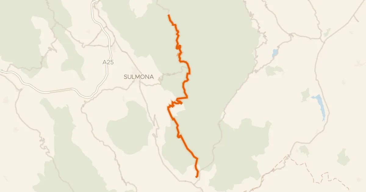
Roll out of Fara San Martino and the road climbs straight into the hills — 76.7 km with 1785 m of elevation gain, all of it paved. First up is the Lago di Serranella nature reserve, then you follow the Sangro river before the Aventino takes over. Rivers, a reserve and plenty of climbing, all looping back to where you started.
Climbs
Climb 1Cat. 3
4.4 km at 5.3% · max 18.8%
Climb 2Cat. 1
11.7 km at 6.2% · max 19.1%
Climb 3Cat. 3
3.3 km at 8.1% · max 25.4%
Routes nearby
Road bike97% paved
ABT Tappa 19: Caramanico Terme - Rivisondoli
55 km↑ 1,536 m16 km away
Passo San Leonardo

Gravel30% paved
Rondje Fiume Sangro en Fiume Osento
61 km↑ 1,585 m17 km away

Road bike97% paved
Rondje Castello Ducale Bassi-D'Alanno en Fiume Sangro
96 km↑ 1,517 m25 km away

Road bike96% paved
Rondje Palazzo Farnese en Fiume Sangro
87 km↑ 1,192 m25 km away

Road bike99% paved
Rondje Pescara en Alento
69 km↑ 1,368 m27 km away

Gravel33% paved
Langs de Fiume Osento en de Fiume Sangro
60 km↑ 1,116 m29 km away