Back to the librarykm 10–13km 19–21km 25–27km 30–33km 33–35km 35–39km 40–41
GravelMade by RouteCasterRound trip
Langs Le Drugeon en Le Doubs
Distance
61 km
Ascent
1,071 m
Highest point
1,093 m
51% paved
Start from your location
Ride there from home: we find the shortest way to the loop and start the loop from there.
The ride
Roll out of Pontarlier and let the route carry you along the Doubs river before the Drugeon takes over further on. Of the 60.9 km, roughly half runs unpaved, so expect the surface to switch back and forth as you go. With 1071 m of climbing spread across the loop, the legs get a proper workout between the rivers. Then it's back to Pontarlier to close the circle.
Climbs
Climb 1Cat. 4
2.9 km at 4% · max 8.5%
Climb 2Cat. 3
2.7 km at 7.6% · max 25%
Climb 3Hill
1.5 km at 3.3% · max 11.1%
Climb 4Cat. 4
2.1 km at 4% · max 10.8%
Climb 5Hill
1.5 km at 4% · max 17.4%
Climb 6Cat. 3
3.9 km at 4.5% · max 30.6%
Climb 7Hill
1.3 km at 3% · max 12%
Routes nearby

Road bike95% paved
Rondje Château de Joux en Lac de Saint-Point
79 km↑ 1,163 m8 km away

Gravel30% paved
Rondje Lac de Remoray en Le Drugeon
59 km↑ 877 m14 km away

Road bike100% paved
Langs Le Doubs en Le Drugeon
63 km↑ 631 m19 km away
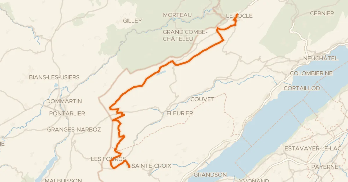
Road bike100% paved
Arc jurassien
60 km↑ 1,006 m19 km away
Col des Etroits
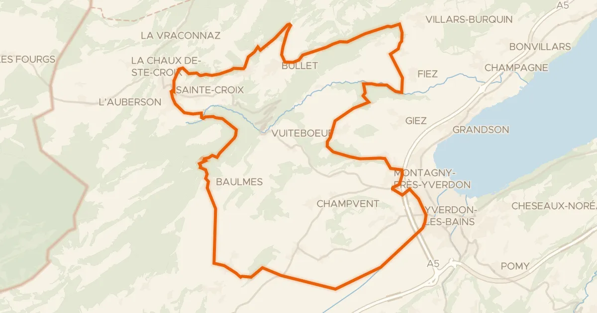
Gravel48% paved
Climbs between La Thièle and L'Arnon
55 km↑ 1,433 m20 km away
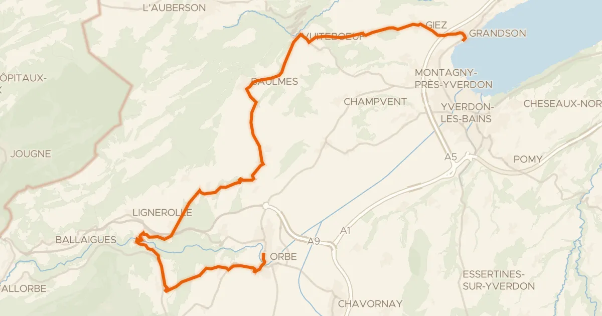
Road bike100% paved
Boucle de la Plaine de l'Orbe
32 km↑ 551 m22 km away