Back to the librarykm 32–33km 56–60
Road bikeMade by RouteCasterRound trip
Langs Le Doubs en Le Drugeon
Distance
63 km
Ascent
631 m
Highest point
1,091 m
100% paved
Start from your location
Ride there from home: we find the shortest way to the loop and start the loop from there.
The ride
Roll out of Métabief and follow the Doubs river before the route skirts the Seigne des Barbouillons nature reserve. Next comes the Drugeon river, then the national nature reserve of Lake Remoray. The 63.4 km loop is fully paved and climbs 631 m along the way, bringing you back to where you started.
Climbs
Climb 1Hill
1 km at 3.1% · max 9.8%
Climb 2Cat. 4
3.4 km at 3.9% · max 9.1%
Routes nearby

Gravel30% paved
Rondje Lac de Remoray en Le Drugeon
59 km↑ 877 m13 km away
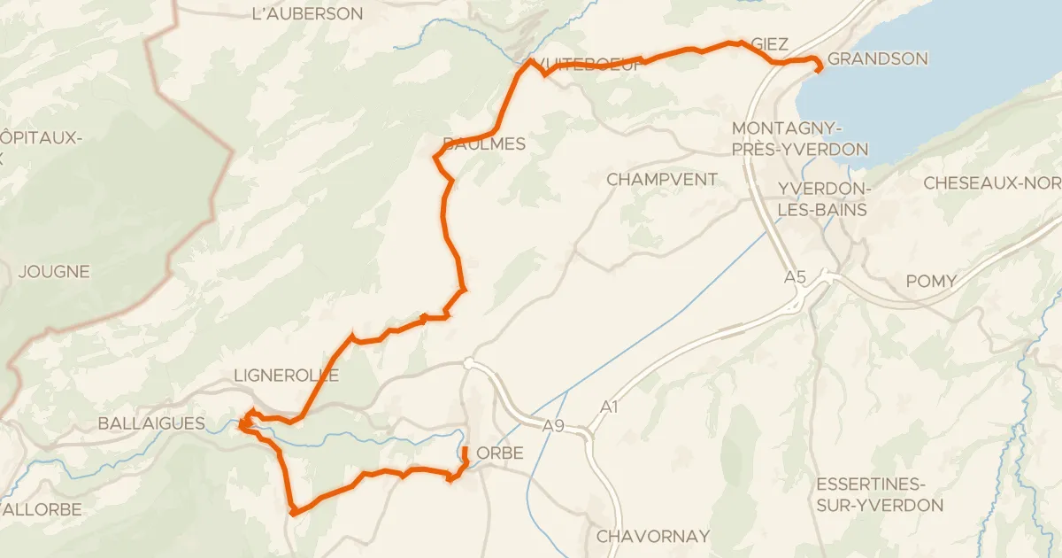
Road bike100% paved
Boucle de la Plaine de l'Orbe
32 km↑ 551 m15 km away
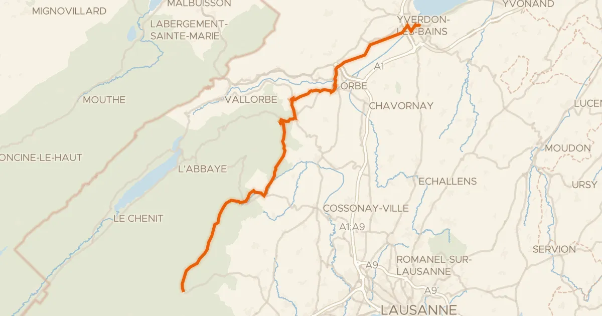
Road bike101% paved
Route du pied du Jura
50 km↑ 742 m16 km away
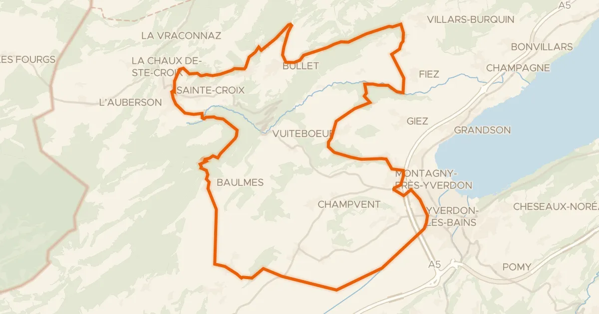
Gravel48% paved
Climbs between La Thièle and L'Arnon
55 km↑ 1,433 m17 km away

Road bike95% paved
Rondje Château de Joux en Lac de Saint-Point
79 km↑ 1,163 m17 km away

Gravel30% paved
Rondje Forêt du Risoux en La Saine
58 km↑ 1,462 m20 km away