Back to the library
Gravel
Langs fjorden
Distance
36 km
Ascent
61 m
Highest point
6 m
54% paved
The ride
A 36.2 km ride with 61 m of elevation gain, mixing 54% paved and 45% unpaved surface. Cycle paths make up 37% of the route, with tertiary roads at 29% and country roads at 24%. Traffic exposure stays at 0% on busy roads above 50 km/h without a cycle path, while 46% runs on protected cycleways or bike-network roads. Enjoy the variety.
Routes nearby
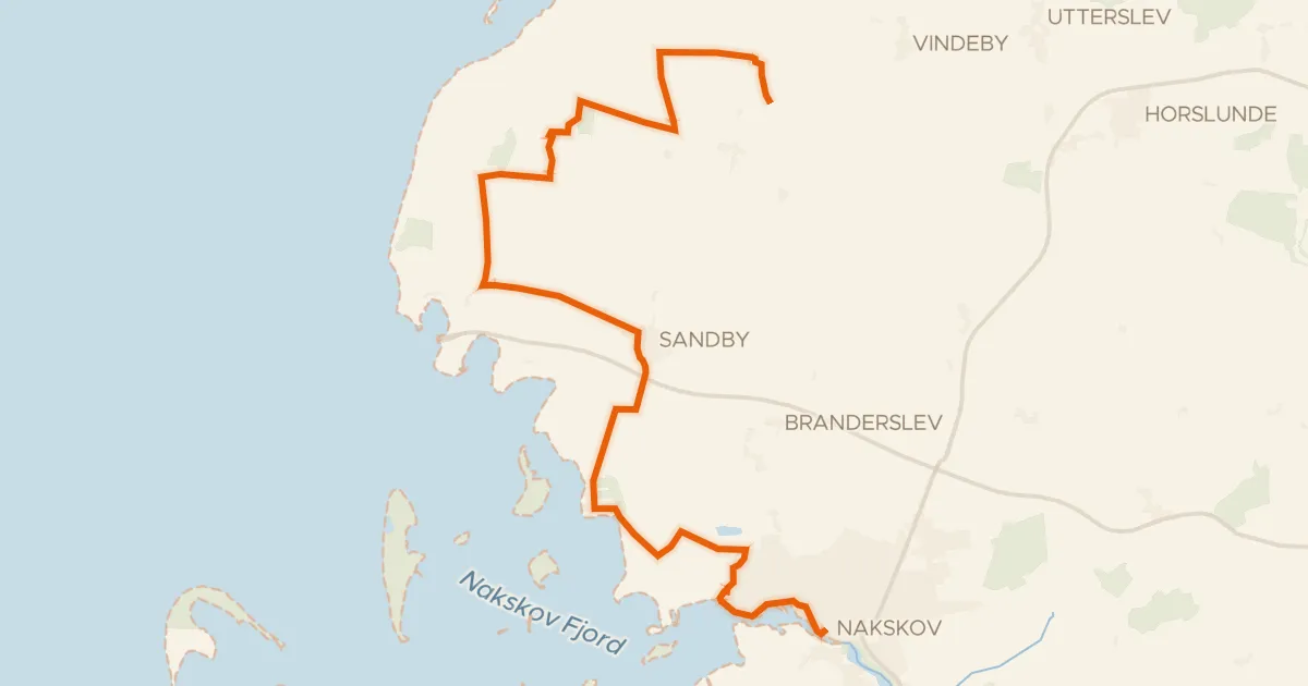
Touring82% paved
Nordens drue
24 km↑ 52 m6 km away
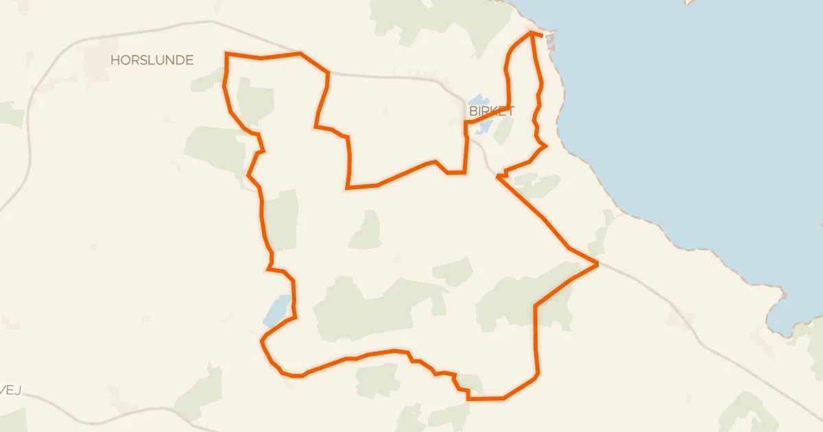
Touring92% paved
De lollandske alper
36 km↑ 136 m13 km away
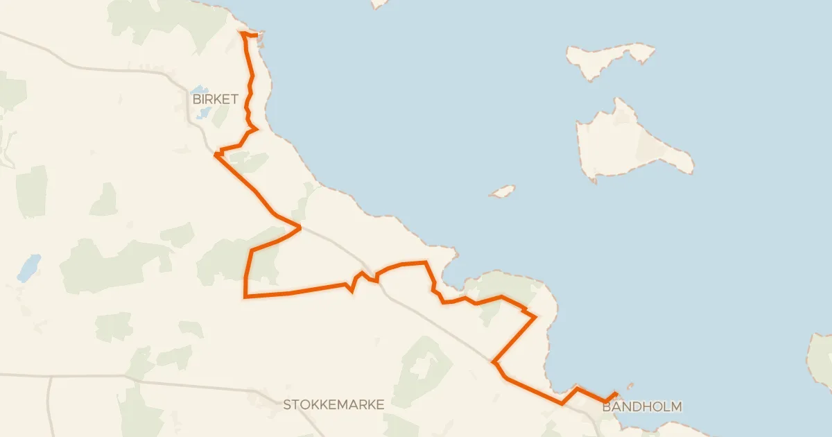
Touring72% paved
Cykeløerne
23 km↑ 72 m19 km away
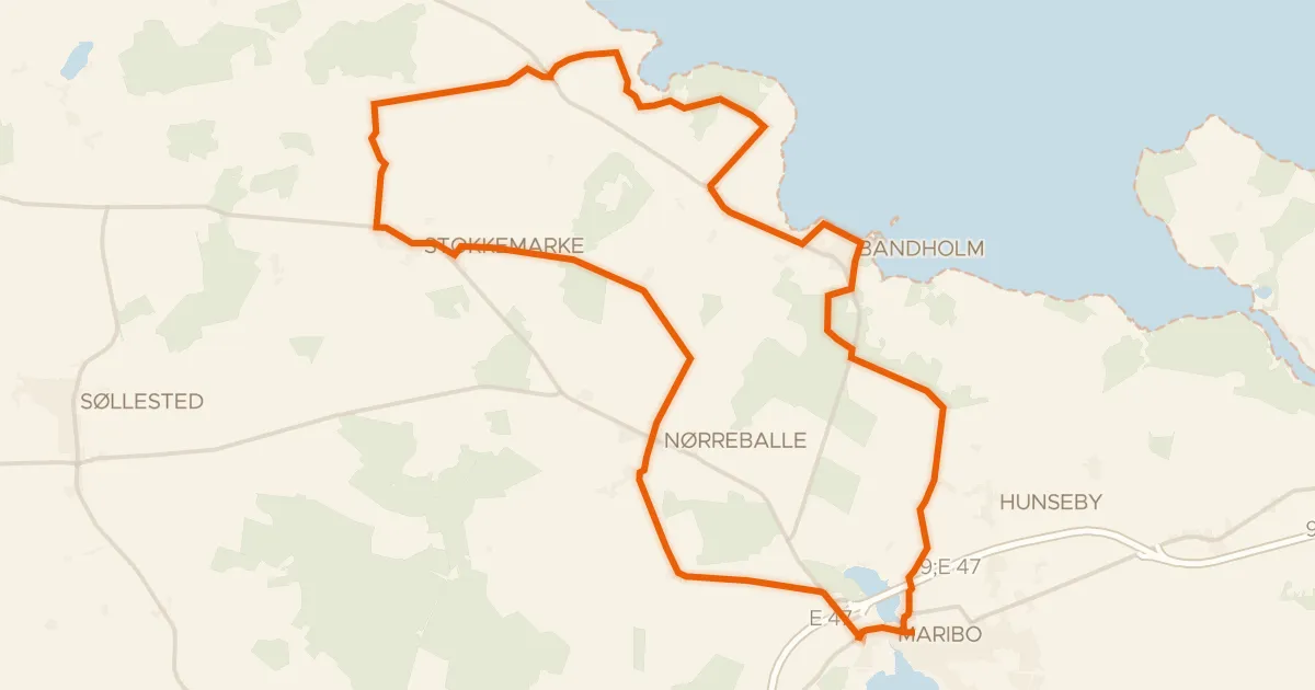
Touring80% paved
Skov, kyst og vin
41 km↑ 85 m19 km away
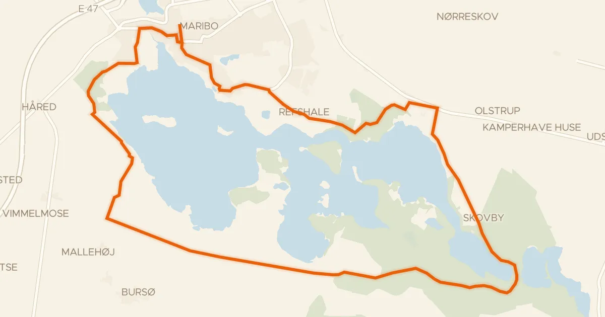
Gravel69% paved
Søndersø ruten
21 km↑ 92 m27 km away
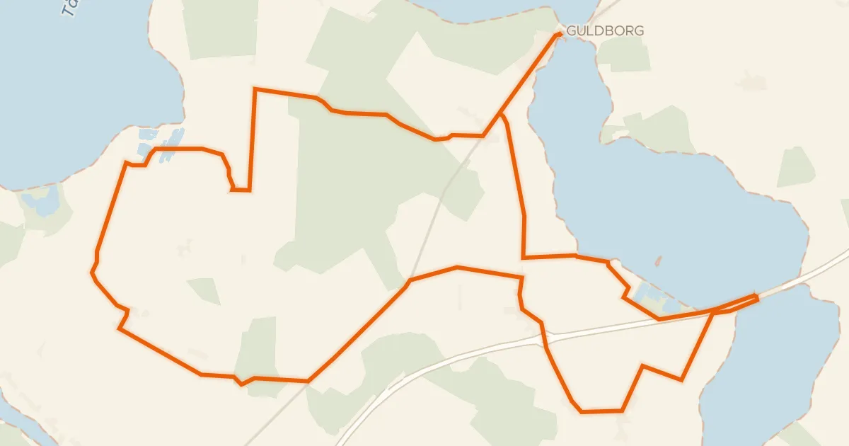
Touring73% paved
Fuglenes fristeder
34 km↑ 77 m37 km away