Back to the library
Touring
Cykeløerne
Distance
23 km
Ascent
72 m
Highest point
17 m
72% paved
The ride
This 22.9 km ride mixes 72% paved and 28% unpaved surface with a friendly 72 m of elevation gain. Country road makes up 28%, dirt track 24%, and secondary road 21% of the route. Protected cycleways and bike-network roads cover 32%, while busy roads above 50 km/h without a cycle path account for 0%. It's a relaxed spin that blends tarmac and dirt in equal measure.
Routes nearby
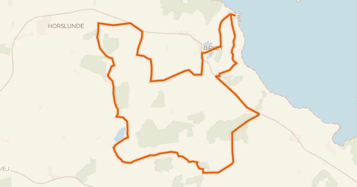
Touring92% paved
De lollandske alper
36 km↑ 136 m5 km away
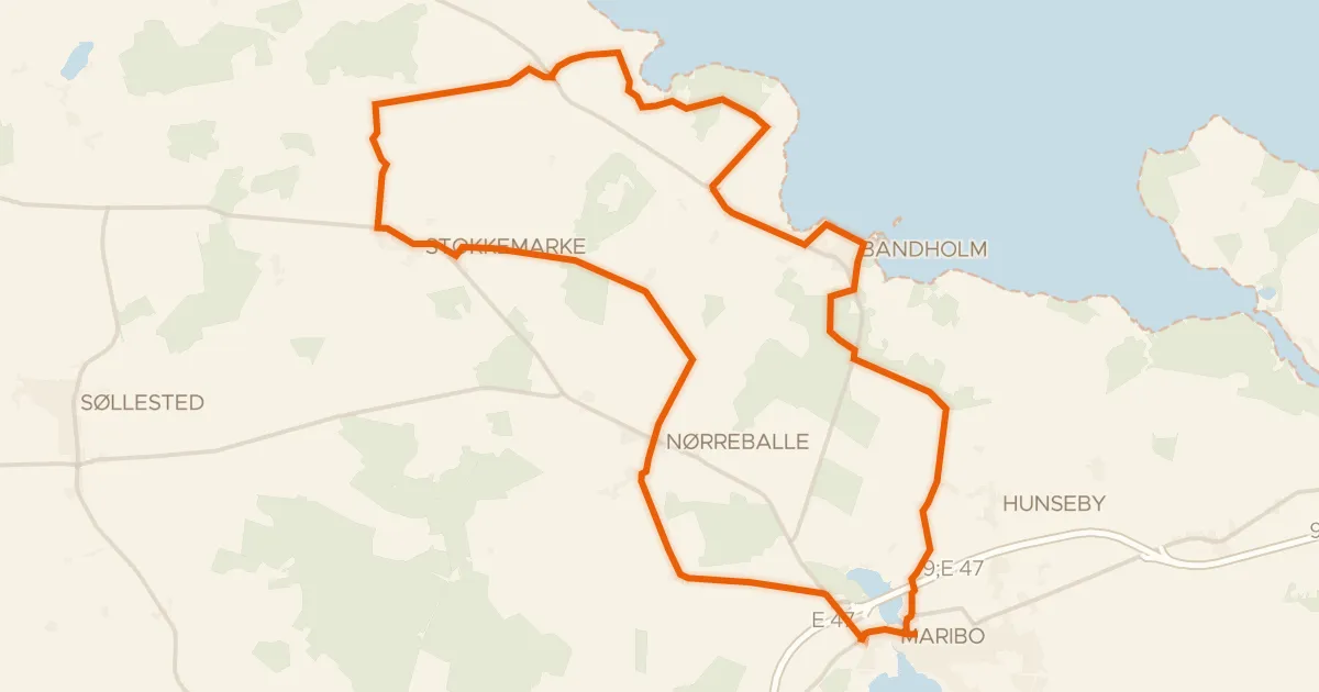
Touring80% paved
Skov, kyst og vin
41 km↑ 85 m12 km away
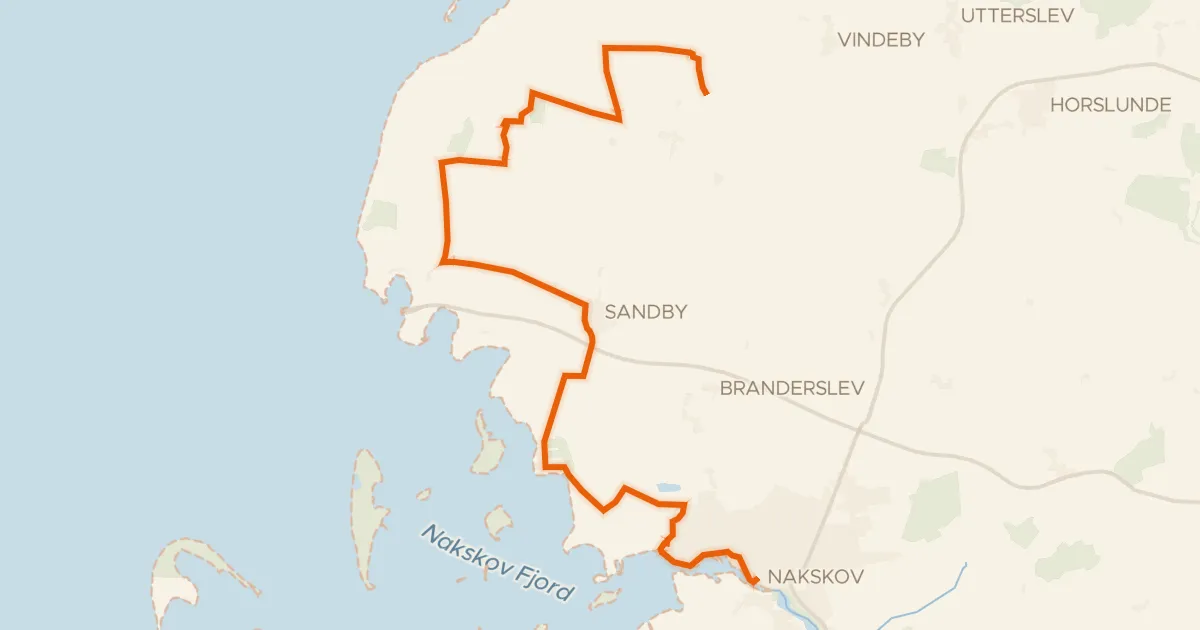
Touring82% paved
Nordens drue
24 km↑ 52 m18 km away
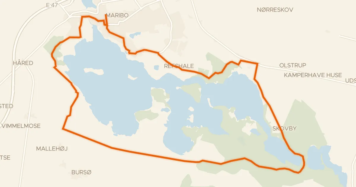
Gravel69% paved
Søndersø ruten
21 km↑ 92 m21 km away
Gravel54% paved
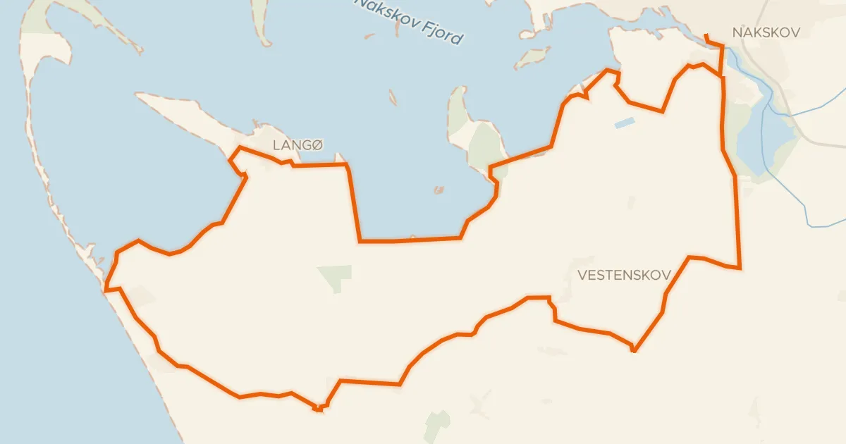
Langs fjorden
36 km↑ 61 m23 km away
Touring73% paved
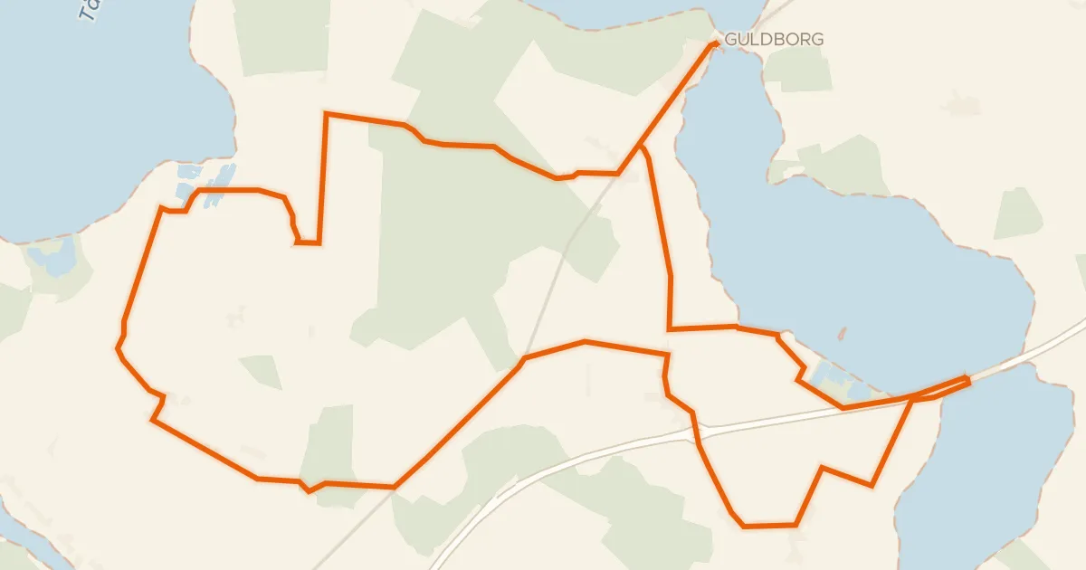
Fuglenes fristeder
34 km↑ 77 m24 km away