Back to the librarykm 0–4km 11–12km 14–17km 18–19km 19–20km 45–47km 59–60km 63–68km 71–74km 75–76
GravelMade by RouteCasterRound trip
Langs de Vils en de Lech
Distance
76 km
Ascent
2,224 m
Highest point
1,529 m
36% paved
Start from your location
Ride there from home: we find the shortest way to the loop and start the loop from there.
The ride
Roll out of Rauth and the ride soon settles into the Naturpark Tiroler Lech, a nature reserve that sets the tone for the day. From there it follows the Vils river and climbs past the Burgruine Vilsegg, a castle ruin, before picking up the Lech river again. A stop by the Frauensee lake rounds things off before the route brings you back to Rauth, with 75.8 km and plenty of climbing along the way.
Climbs
Climb 1Cat. 2
3.7 km at 10.3% · max 51%
Climb 2Cat. 4
1.5 km at 6.5% · max 16%
Climb 3Cat. 2
3.3 km at 10% · max 25%
Climb 4Hill
1.1 km at 6.2% · max 17.7%
Climb 5Hill
0.3 km at 15.9% · max 27%
Climb 6Cat. 3
1.3 km at 12.8% · max 39.5%
Climb 7Hill
0.8 km at 4% · max 14.6%
Climb 8Cat. 2
5.3 km at 7.6% · max 30.8%
Climb 9Cat. 3
3 km at 6.7% · max 29.5%
Climb 10Hill
0.5 km at 6.6% · max 15%
Routes nearby
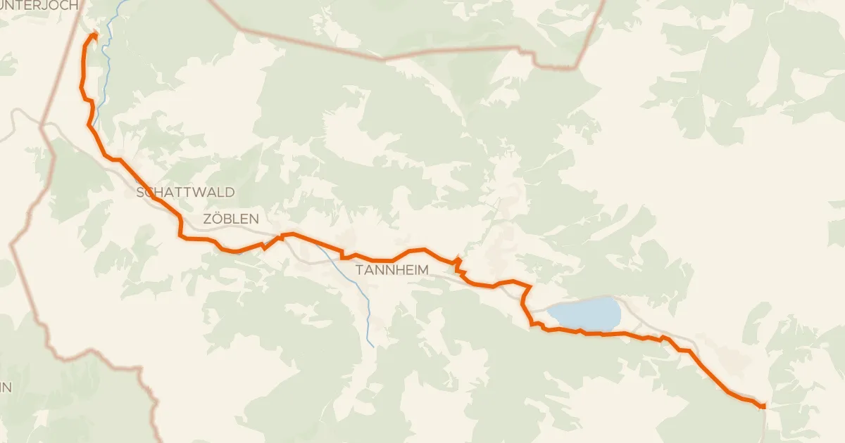
Touring88% paved
Radweg Tannheimertal
20 km↑ 190 m8 km away
Wasserscheide Vils/Lech
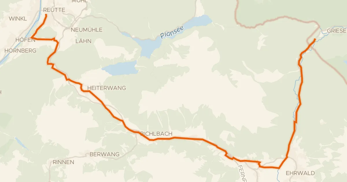
Gravel63% paved
Zwischentoren/Loisachtal
33 km↑ 549 m16 km away

Gravel20% paved
Rondje Ammergebirge en Loisach
58 km↑ 1,572 m17 km away
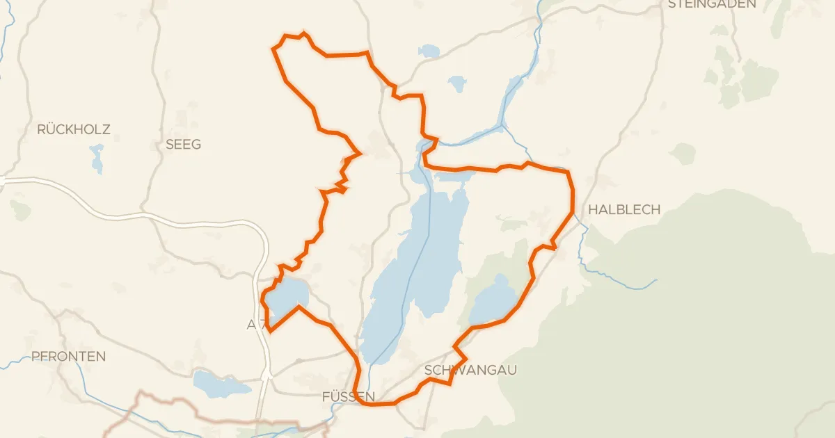
Gravel50% paved
Rondje Burgruine Hopfen am See en Bannwaldsee
60 km↑ 638 m20 km away
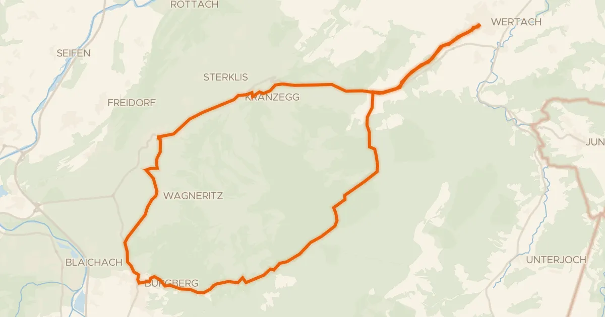
Touring94% paved
19 - Rund um den Grünten
31 km↑ 659 m23 km away
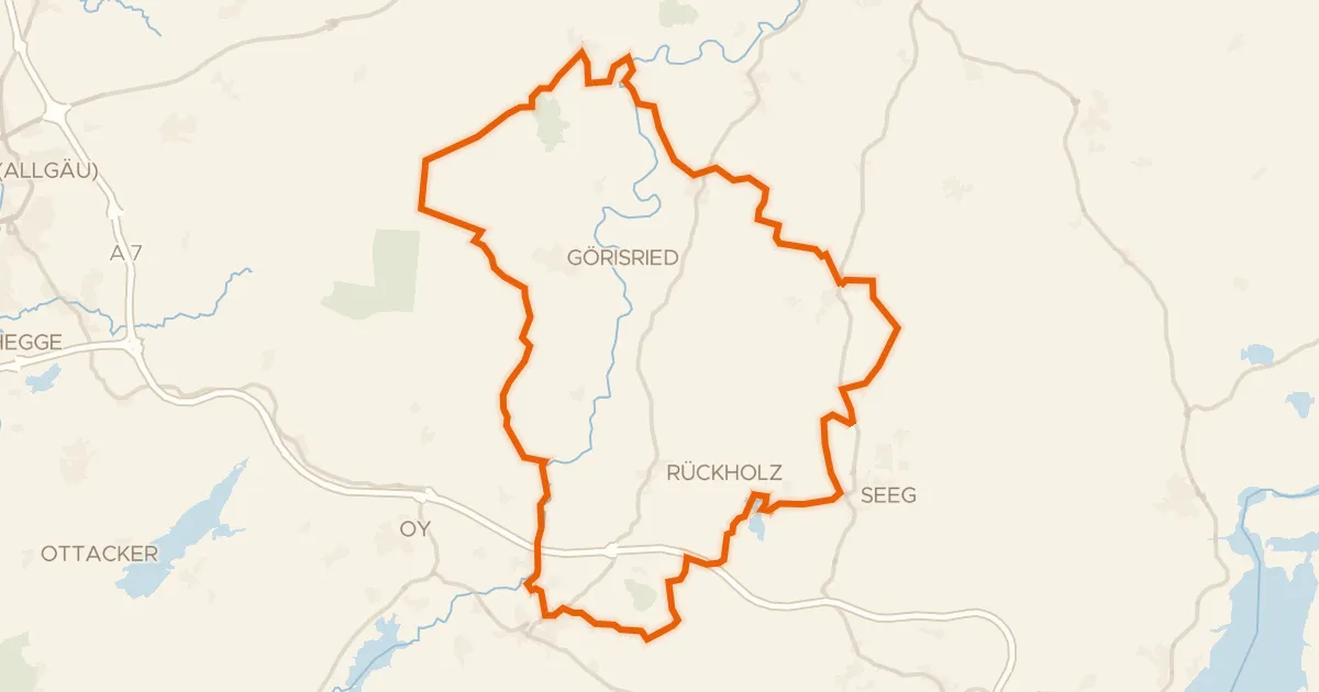
Gravel35% paved
Rondje Schornmoos en Schwaltenweiher
58 km↑ 666 m25 km away