Back to the librarykm 28–29km 33–34
GravelRouteCasterRound trip
Rondje Schornmoos en Schwaltenweiher
Distance
58 km
Ascent
666 m
Highest point
926 m
35% paved
Start from your location
Ride there from home: we find the shortest way to the loop and start the loop from there.
The ride
Roll out of Lengenwang and let the route unfold: past the Wertach river, through the Schornmoos nature reserve, into the Kempter Wald forest and on to the Schwaltenweiher lake. Of the 58.1 km, most runs unpaved, with 666 m of climbing along the way. Then it's back to Lengenwang to close the loop.
Climbs
Climb 1Hill
1.2 km at 3.5% · max 10.7%
Climb 2Hill
0.9 km at 3.6% · max 10.4%
Routes nearby
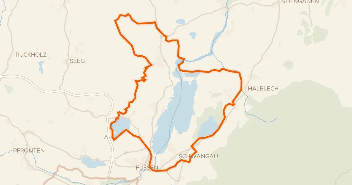
Gravel50% paved
Rondje Burgruine Hopfen am See en Bannwaldsee
60 km↑ 638 m13 km away
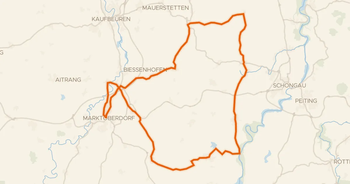
Road bike100% paved
Rondje Schloss Marktoberdorf en Lech
74 km↑ 705 m15 km away
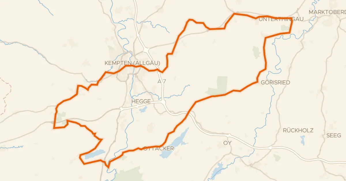
Road bike97% paved
Rondje Burghalde en Hochmoore im Kemptener Wald
88 km↑ 1,106 m17 km away
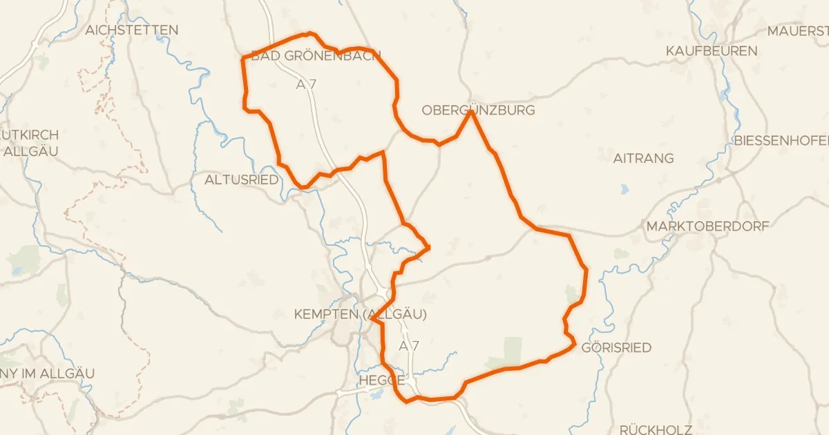
Road bike98% paved
Rondje Hohes Schloss en Schornmoos
94 km↑ 1,035 m20 km away
Touring88% paved
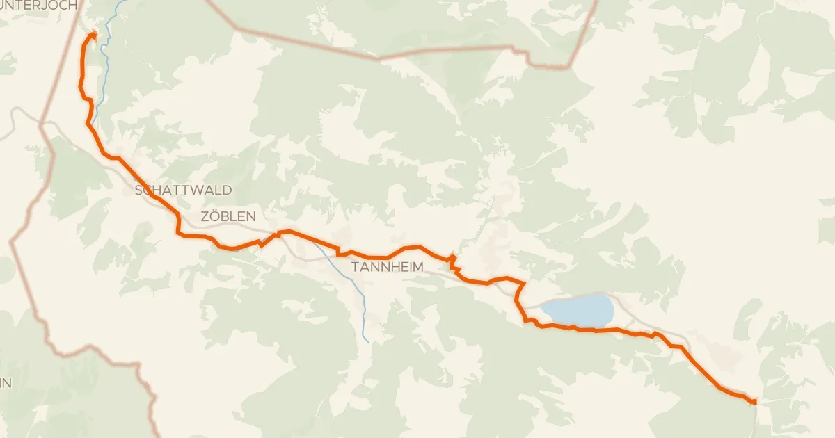
Radweg Tannheimertal
20 km↑ 190 m22 km away
Wasserscheide Vils/Lech
Touring75% paved
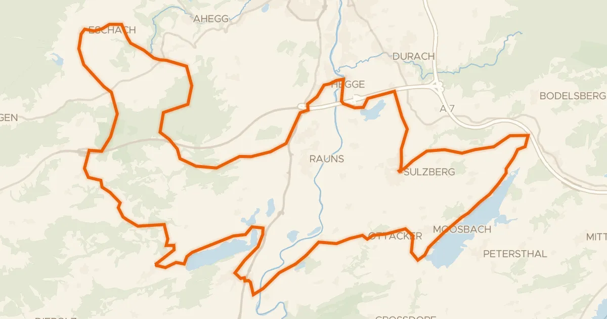
23 -Seelina-Radrundweg
68 km↑ 1,150 m23 km away