Back to the librarykm 0–11km 12–12km 13–15km 17–19km 19–21km 30–33
GravelMade by RouteCasterRound trip
Langs de Salzach en de Hacklsee
Distance
58 km
Ascent
3,133 m
Highest point
2,687 m
30% paved
Start from your location
Ride there from home: we find the shortest way to the loop and start the loop from there.
The ride
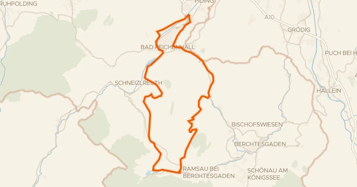
From Uttendorf the route heads into Nationalpark Hohe Tauern, a nature reserve, then climbs past Hacklsee, a lake, before following the Kapruner Ache, a river. Later the Salzach, another river, joins the way. Of the 58.2 km, most run unpaved, and 3133 m of climbing keeps the legs working before the loop returns to Uttendorf.
Climbs
Climb 1HC
10.9 km at 14.2% · max 121.3%
Climb 2Hill
0.3 km at 10.8% · max 16.2%
Climb 3Cat. 3
1.3 km at 19.4% · max 43.1%
Climb 4Cat. 2
2.2 km at 25.1% · max 39.3%
SchmiedingerscharteCat. 2
1.4 km at 36.7% · max 96.5%
Climb 6Cat. 3
3 km at 7% · max 31.2%
Routes nearby
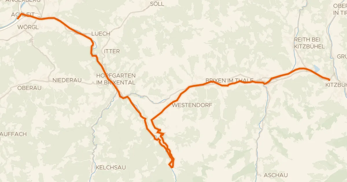
Touring82% paved
Brixental
44 km↑ 851 m32 km away
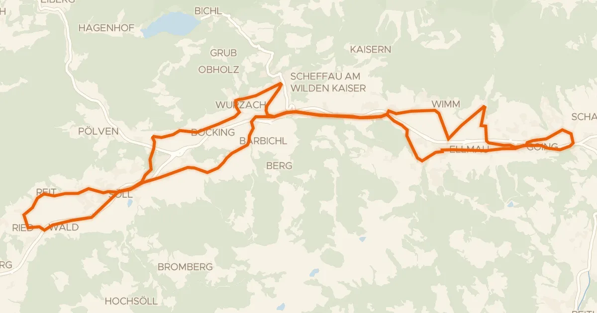
Touring82% paved
Sölllandl Radrunde
38 km↑ 688 m35 km away

Gravel55% paved
Rondje Burgruine Engelsberg en Brixentaler Ache
60 km↑ 1,967 m36 km away
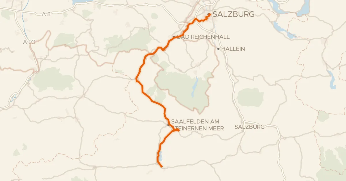
Touring84% paved
Tauernradweg, Etappe Salzburg - Zell am See
101 km↑ 1,318 m36 km away
Kniepass
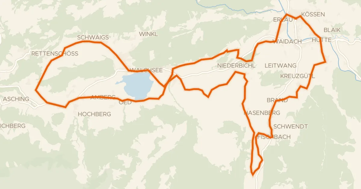
Touring91% paved
Käse Radrunde
40 km↑ 630 m43 km away
Gravel32% paved
Rondje Taubensee en Saalach
54 km↑ 1,629 m50 km away