Back to the librarykm 0–4km 7–7km 9–9km 10–20km 23–24km 35–37km 37–38km 49–52km 56–57
GravelMade by RouteCasterRound trip
Rondje Burgruine Engelsberg en Brixentaler Ache
Distance
60 km
Ascent
1,967 m
Highest point
1,468 m
55% paved
Start from your location
Ride there from home: we find the shortest way to the loop and start the loop from there.
The ride
This loop starts and finishes in Schwoich and covers 59.8 km, with 1967 m of climbing along the way. You ride out past the Windauer Ache river, then climb to the Burgruine Engelsberg castle ruins before dropping toward the Brixentaler Ache river. The route mixes 55% paved and 44% unpaved surface, so expect the character to shift as you go. Back in Schwoich, the loop closes where it began.
Climbs
Climb 1Cat. 3
4.1 km at 7.7% · max 19.1%
Climb 2Hill
0.9 km at 8.4% · max 18.4%
Climb 3Hill
0.4 km at 11.1% · max 20.9%
Climb 4Cat. 1
9.8 km at 7.9% · max 51.7%
Climb 5Cat. 3
1.2 km at 15.2% · max 24.3%
Climb 6Cat. 4
1.2 km at 9.2% · max 23.8%
Climb 7Hill
0.6 km at 4.5% · max 10.9%
Climb 8Cat. 4
2.3 km at 4% · max 20.5%
Climb 9Hill
0.8 km at 5.5% · max 14.7%
Routes nearby
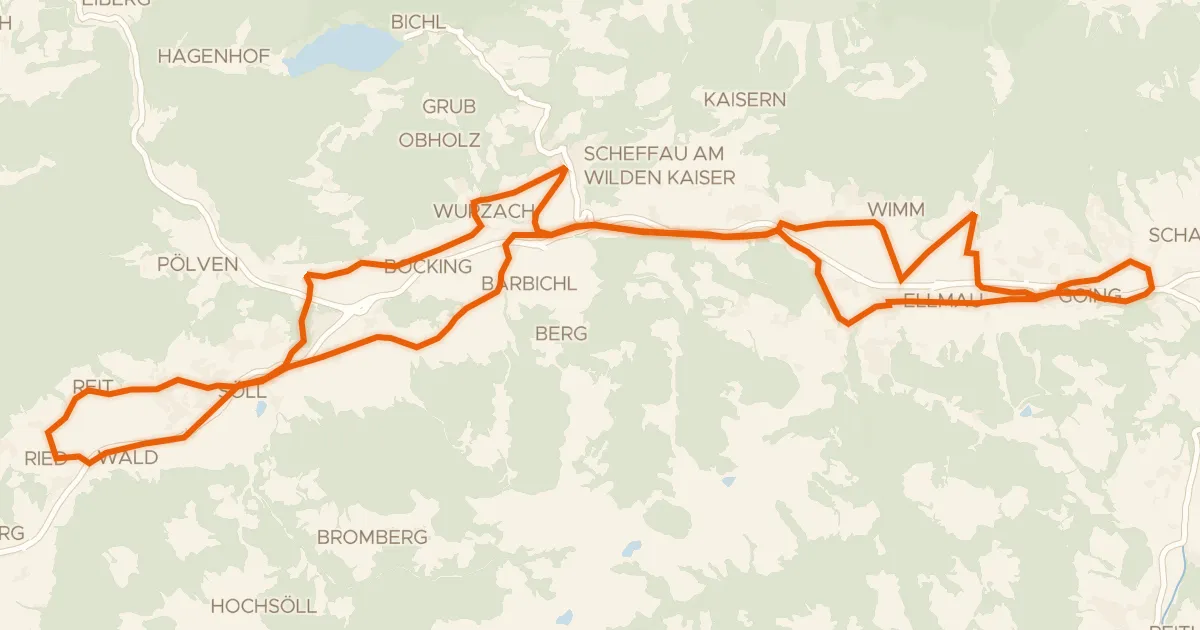
Touring82% paved
Sölllandl Radrunde
38 km↑ 688 m9 km away
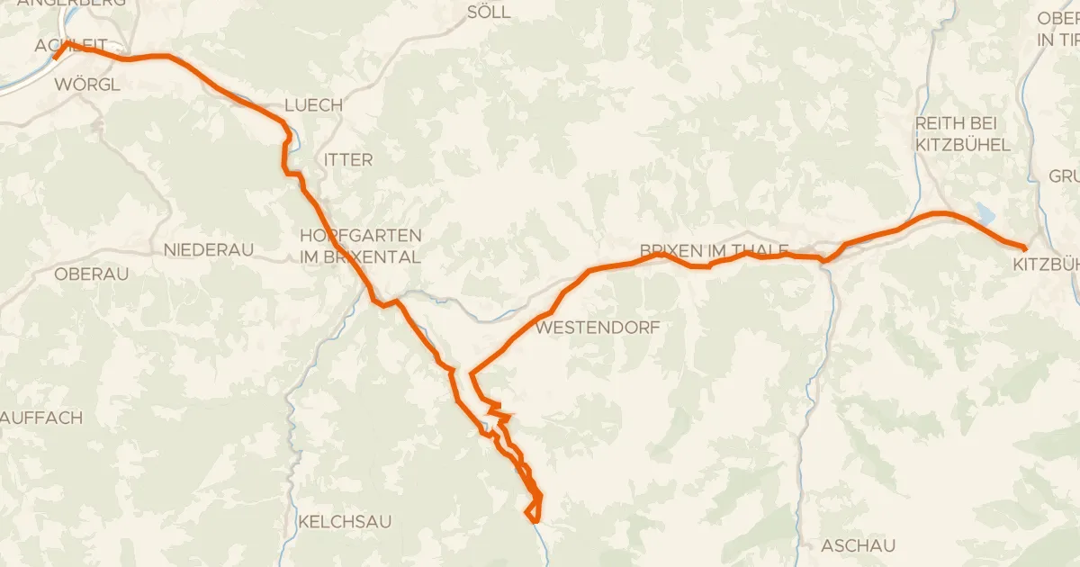
Touring82% paved
Brixental
44 km↑ 851 m13 km away
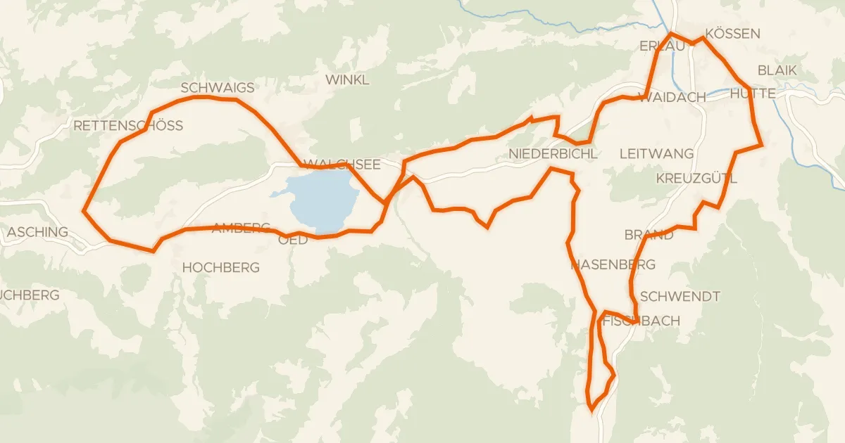
Touring91% paved
Käse Radrunde
40 km↑ 630 m19 km away
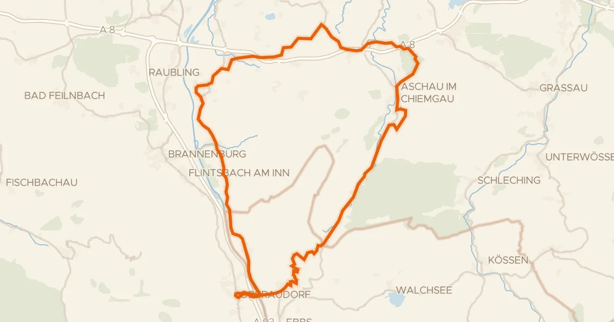
Road bike96% paved
Rondje Schloss Neubeuern en Geigelstein
72 km↑ 1,280 m22 km away
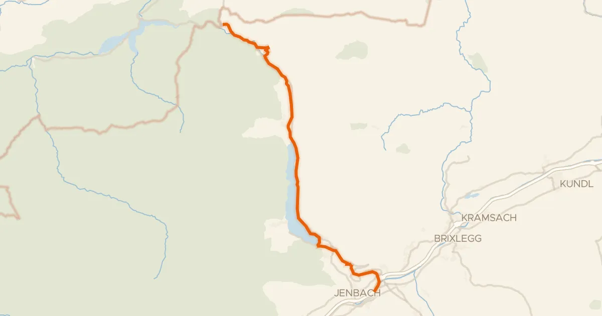
Touring83% paved
Via Bavarica Tyrolensis (Süd)
32 km↑ 495 m32 km away
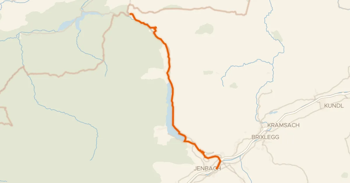
Touring83% paved
Achenseeradweg
33 km↑ 825 m32 km away