Back to the librarykm 1–1km 2–2km 6–7km 7–14km 20–20km 21–21km 22–22km 23–25km 30–31km 32–40km 42–42km 43–43km 46–51km 55–56
GravelMade by RouteCasterRound trip
Langs de L'Azergues en Le Reins
Distance
58 km
Ascent
2,208 m
Highest point
900 m
14% paved
Start from your location
Ride there from home: we find the shortest way to the loop and start the loop from there.
The ride
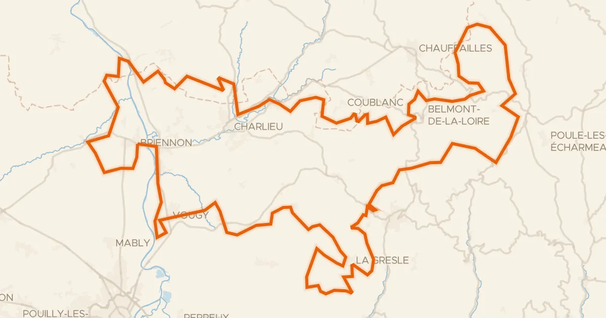
From Chénelette you set off on a 58.0 km loop that keeps climbing, with 2208 m of elevation gain along the way. Most of it runs unpaved, so the surface changes as you go. You pass the river Le Reins, then follow on to the river L'Azergues before turning back. The ride finishes where it began, in Chénelette.
Climbs
Climb 1Hill
0.9 km at 5.2% · max 9.5%
Climb 2Hill
0.8 km at 4.4% · max 7.5%
Climb 3Hill
0.5 km at 12.2% · max 15.6%
Climb 4Cat. 2
6.6 km at 5.8% · max 32.7%
Climb 5Hill
0.2 km at 15.5% · max 23%
Climb 6Cat. 4
0.7 km at 12.5% · max 18.7%
Climb 7Hill
0.7 km at 4% · max 11.3%
Climb 8Cat. 3
2.5 km at 11.7% · max 24.3%
Climb 9Cat. 4
1.2 km at 7.1% · max 17.6%
Climb 10Cat. 2
7.3 km at 5.8% · max 27.8%
Climb 11Hill
0.6 km at 8.7% · max 14%
Climb 12Hill
0.4 km at 6.8% · max 9.3%
Climb 13Cat. 2
5.8 km at 7.4% · max 20.6%
Climb 14Hill
0.9 km at 8.8% · max 21.1%
Routes nearby

Road bike99% paved
Rondje Château de Longsard en Château des Ravatys
81 km↑ 1,358 m15 km away

Road bike96% paved
Rondje Château de Saint-Léger en Roche de Solutré
74 km↑ 1,377 m16 km away

Gravel18% paved
Rondje Château de Tramayes en Château de Chénas
58 km↑ 1,947 m17 km away
Gravel51% paved
Le Grand Tour du territoire
180 km↑ 4,355 m20 km away
Col des Écorbans · Col de Aillets

Gravel51% paved
Rondje Château de Néty en La Saône
66 km↑ 452 m20 km away

Gravel45% paved
Rondje Château de Vougy en La Loire
61 km↑ 1,057 m26 km away