Back to the librarykm 0–7km 9–12km 13–14km 15–16km 21–22km 25–26km 31–38km 43–43
GravelMade by RouteCasterRound trip
Langs de Biferno en Parco Nazionale del Matese
Distance
63 km
Ascent
2,406 m
Highest point
1,578 m
15% paved
Start from your location
Ride there from home: we find the shortest way to the loop and start the loop from there.
The ride
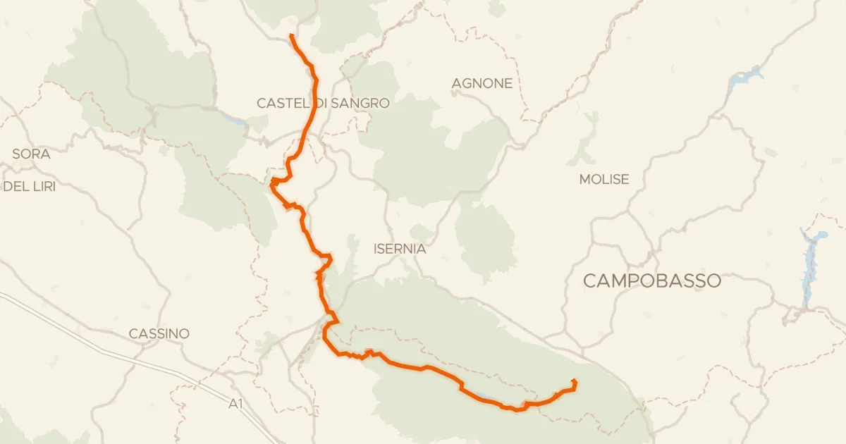
This ride rolls out of Bojano and heads into the Parco Nazionale del Matese, a nature reserve that sets the tone for the day. From there it continues past the Riserva Naturale Regionale Oasi WWF Guardiaregia - Campochiaro, another nature reserve, before following the Biferno river. Of the 63.0 km, most runs unpaved, and the elevation gain of 2406 m keeps things lively. It all comes full circle back to Bojano.
Climbs
Climb 1HC
6.7 km at 12.8% · max 43.2%
Climb 2Cat. 2
3.1 km at 13.6% · max 28.5%
Climb 3Hill
0.7 km at 10.5% · max 24.1%
Climb 4Cat. 4
1.1 km at 13.8% · max 39.8%
Climb 5Hill
0.9 km at 6.5% · max 13.2%
Climb 6Hill
1.3 km at 5.3% · max 16.6%
Climb 7Cat. 2
7.5 km at 6.6% · max 25.3%
Climb 8Hill
0.4 km at 7.7% · max 16.4%
Routes nearby

Road bike100% paved
Rondje Lago del Matese en Parco Nazionale del Matese
74 km↑ 1,498 m18 km away

Road bike100% paved
Rondje Parco Nazionale del Matese en Tammaro
74 km↑ 1,672 m20 km away
Road bike100% paved
ABT Tappa 20: Rivisondoli - Guardiaregia
126 km↑ 2,409 m23 km away
Sella del Perrone

Gravel66% paved
Langs Oasi WWF Nord en Fiume Tammaro
51 km↑ 1,384 m25 km away

Road bike100% paved
Rondje Castello Ducale en Volturno
79 km↑ 1,002 m30 km away

Road bike100% paved
Rondje Castello normanno en Volturno
79 km↑ 1,209 m32 km away