Back to the librarykm 16 · Aug 2022 · © teddy73 / Mapillary, CC BY-SA km 27 · Mar 2025 · © teddy73 / Mapillary, CC BY-SA km 46 · Oct 2021 · © teddy73 / Mapillary, CC BY-SA km 86 · Mar 2020 · © teddy73 / Mapillary, CC BY-SA km 3–7km 9–11km 14–16km 47–48
Road bikeMade by RouteCasterRound trip
Hilly ride between Reinheim and Volmunster
Distance
87 km
Ascent
1,062 m
Highest point
388 m
100% paved
Start from your location
Ride there from home: we find the shortest way to the loop and start the loop from there.
The ride
Roll out of Gersheim and straight into the Südlicher Bliesgau/Auf der Lohe nature reserve, then on past the Ritterstal reserve and through the Bliesaue between Blieskastel and Bliesdalheim. The Schwalbaue reserve follows before the Ouvrage de Rohrbach fort, and then it's back to Gersheim. All 87.4 km are paved, with 1062 m of climbing along the way.
Along the way
Climbs
Climb 1Cat. 3
3.9 km at 4.5% · max 11%
Climb 2Hill
2 km at 3.1% · max 12.1%
Climb 3Cat. 4
2.3 km at 3.5% · max 9%
Climb 4Hill
1.3 km at 5.3% · max 16.3%
Routes nearby
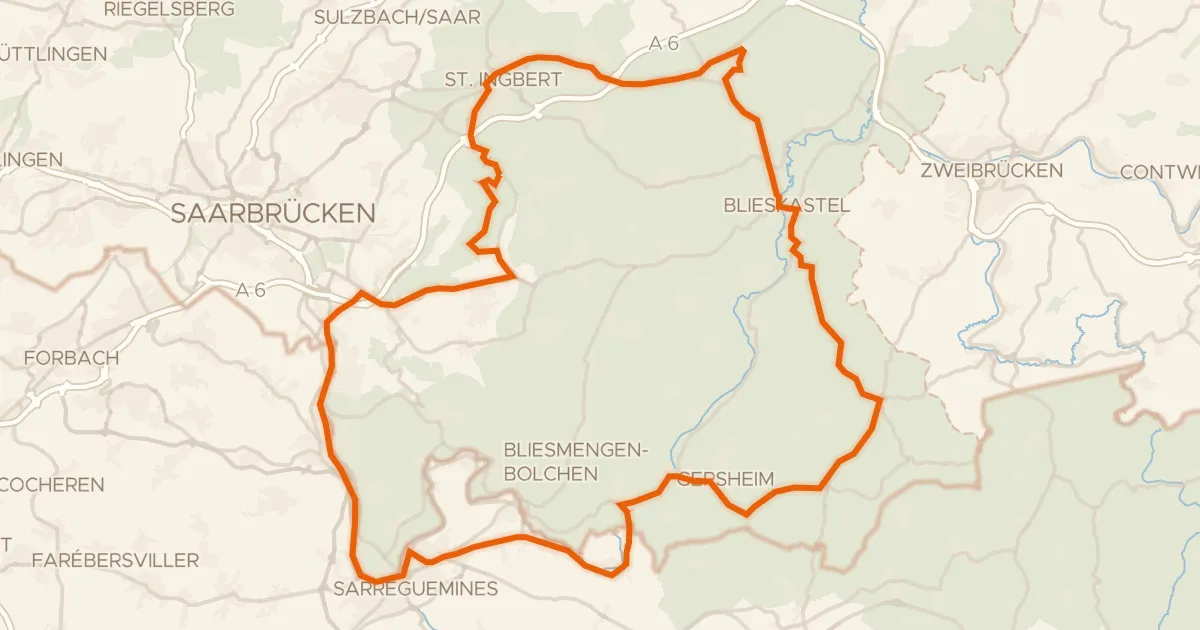
Road bike95% paved
Castles between Bliesbruck and Blieskastel
86 km↑ 889 m7 km away
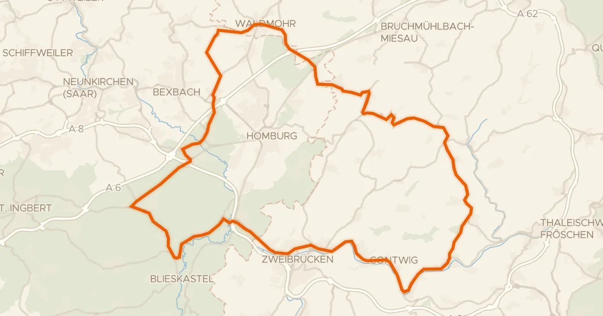
Road bike100% paved
Viewpoints between Krähenberg and Rieschweiler
78 km↑ 769 m22 km away
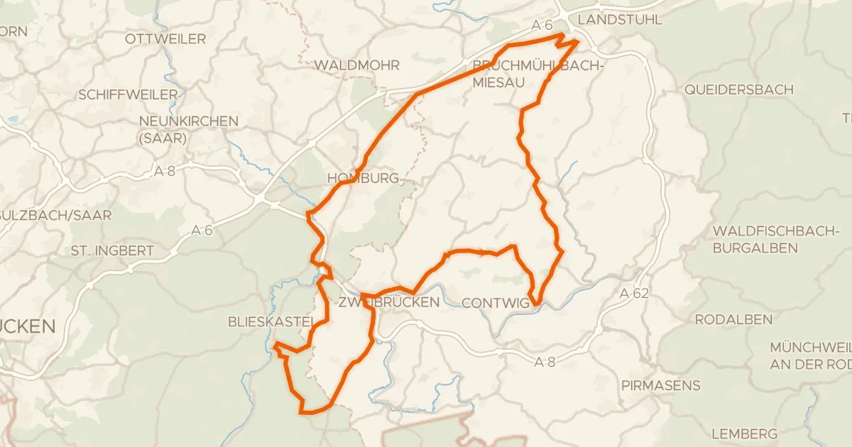
Road bike99% paved
Hills between Schmitshausen and Rieschweiler
96 km↑ 977 m22 km away
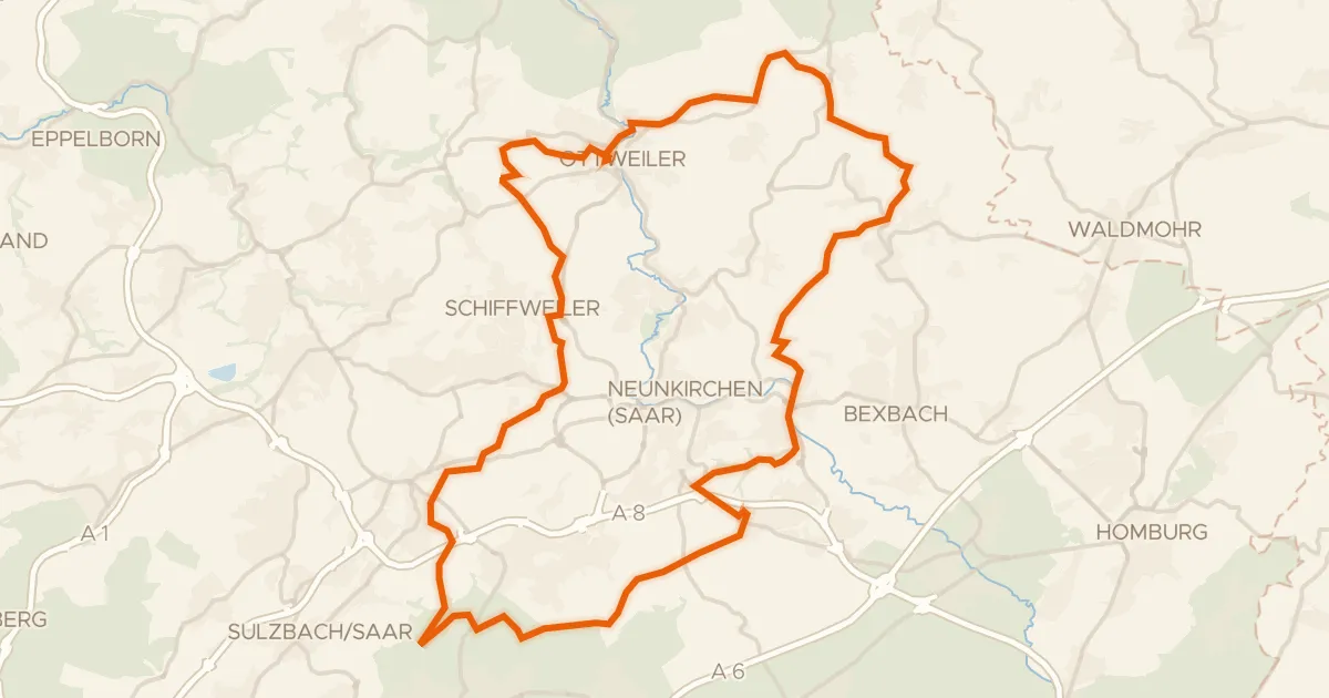
Gravel30% paved
Gravel between Ottweiler and the Blies
62 km↑ 1,163 m24 km away
Gravel30% paved
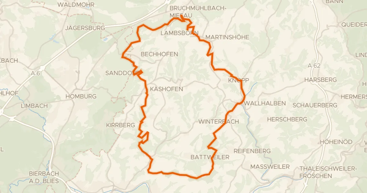
Views along the Wallhalben
57 km↑ 1,033 m27 km away
Touring93% paved
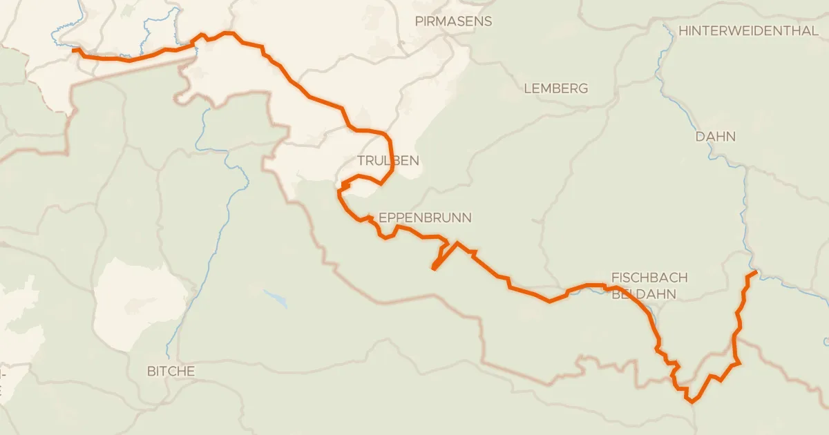
Hornbach-Fleckenstein Radweg
63 km↑ 979 m28 km away
Col du Litschhof · Col du Schaufelshald