Back to the librarykm 2 · Jun 2025 · © Bulld0z3r / Mapillary, CC BY-SA km 23 · Jul 2024 · © teddy73 / Mapillary, CC BY-SA km 52 · May 2022 · © teddy73 / Mapillary, CC BY-SA km 81 · Jun 2025 · © Bulld0z3r / Mapillary, CC BY-SA km 74–76km 82–86
Road bikeMade by RouteCasterRound trip
Castles between Bliesbruck and Blieskastel
Distance
86 km
Ascent
889 m
Highest point
396 m
95% paved
Start from your location
Ride there from home: we find the shortest way to the loop and start the loop from there.
The ride
Here's a ride that mixes things up: 85.8 km with 889 m of climbing, starting and finishing at Parkeerplaats Oberwürzbach-Hirschental. Most of it rolls along paved roads, with a small 5% stretch of unpaved to keep you on your toes. The climbing adds up nicely without ever feeling like a wall. Roll out, enjoy the mix, and land back where you began.
Along the way
Climbs
Climb 1Cat. 4
1.7 km at 6.3% · max 16.7%
Climb 2Cat. 4
3.4 km at 4.1% · max 17.7%
Routes nearby
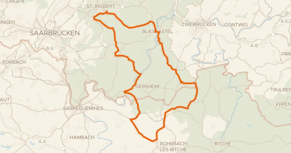
Road bike100% paved
Hilly ride between Reinheim and Volmunster
87 km↑ 1,062 m13 km away
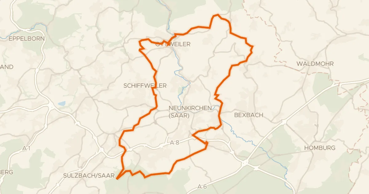
Gravel30% paved
Gravel between Ottweiler and the Blies
62 km↑ 1,163 m13 km away
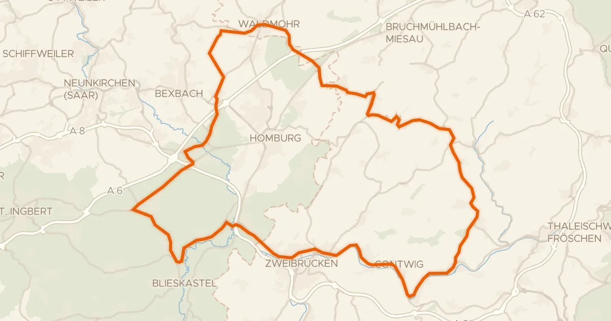
Road bike100% paved
Viewpoints between Krähenberg and Rieschweiler
78 km↑ 769 m20 km away
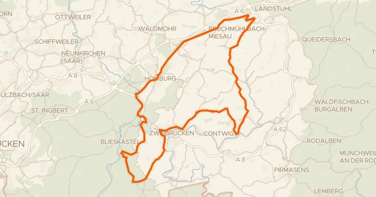
Road bike99% paved
Hills between Schmitshausen and Rieschweiler
96 km↑ 977 m21 km away

Road bike99% paved
Castles along the Rossel
76 km↑ 700 m25 km away
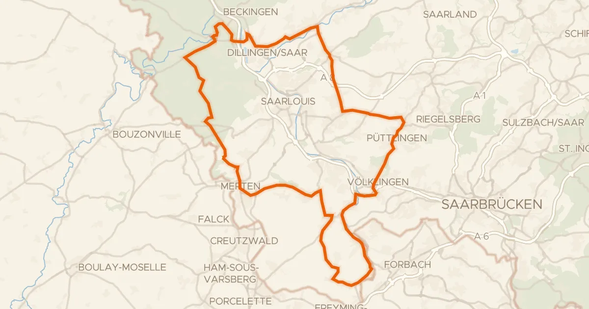
Road bike98% paved
Castle route via Saarwellingen and Karlsbrunn
91 km↑ 1,055 m26 km away