Back to the librarykm 19–20km 44–45km 46–47km 48–49
GravelMade by RouteCasterRound trip
Hills between Unterschwaningen and Sausenhofen
Distance
56 km
Ascent
596 m
Highest point
564 m
27% paved
Start from your location
Ride there from home: we find the shortest way to the loop and start the loop from there.
The ride
Roll out of Dennenlohe and let the ride unfold: past Schloß Dennenlohe, on through the Geopark Ries nature reserve and the Naturpark Altmühltal nature reserve, then back to where you started. Along the way, 56.3 km of riding with 596 m of climbing, mostly on unpaved surface. It's a loop that keeps the castle at the start and the two nature reserves in the middle.
Climbs
Climb 1Hill
1.2 km at 6.6% · max 14%
Climb 2Hill
1.1 km at 5.3% · max 10.3%
Climb 3Hill
0.9 km at 3.4% · max 11.3%
Climb 4Hill
1.5 km at 4.4% · max 10.6%
Routes nearby
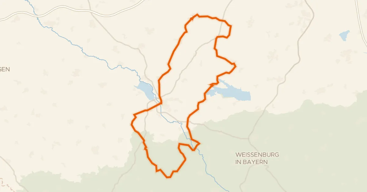
Road bike99% paved
Castles through the Altmühltal
95 km↑ 1,097 m15 km away
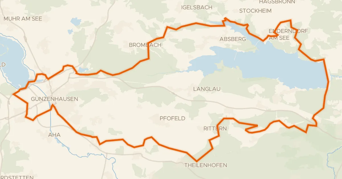
Gravel34% paved
Gravel between the Altmühl and Igelsbachsee
61 km↑ 621 m17 km away
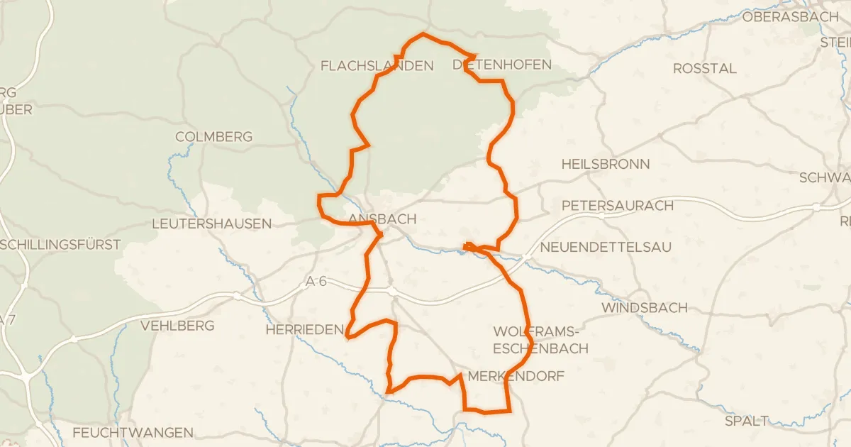
Road bike99% paved
Castles through the Frankenhöhe
98 km↑ 852 m23 km away
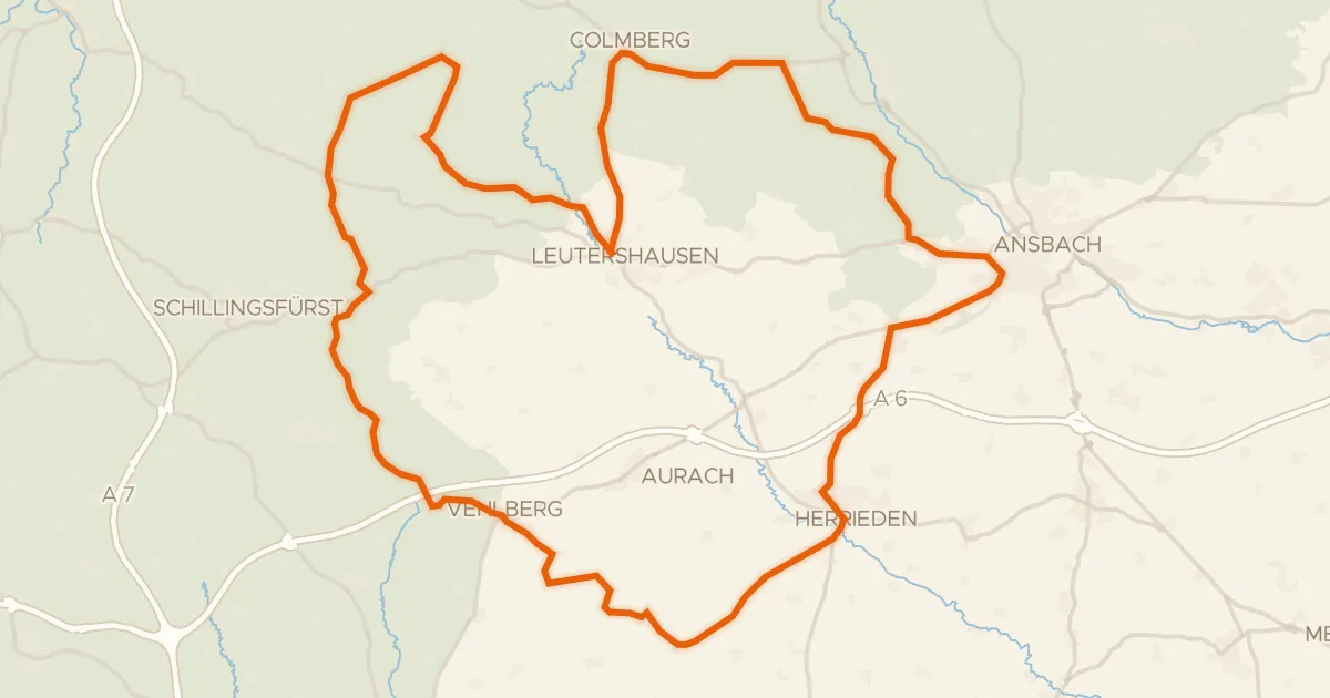
Road bike100% paved
Hills between Leutershausen and Kloster Sulz
77 km↑ 707 m24 km away
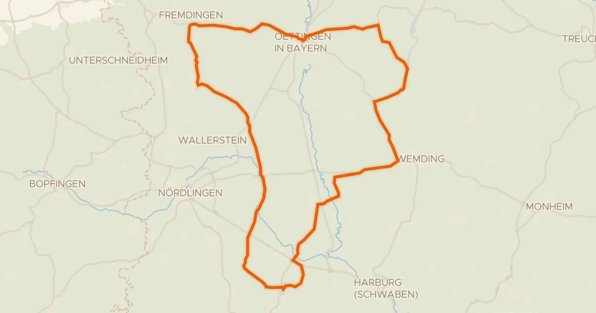
Road bike100% paved
Castles between Eger and Wörnitz
73 km↑ 461 m24 km away
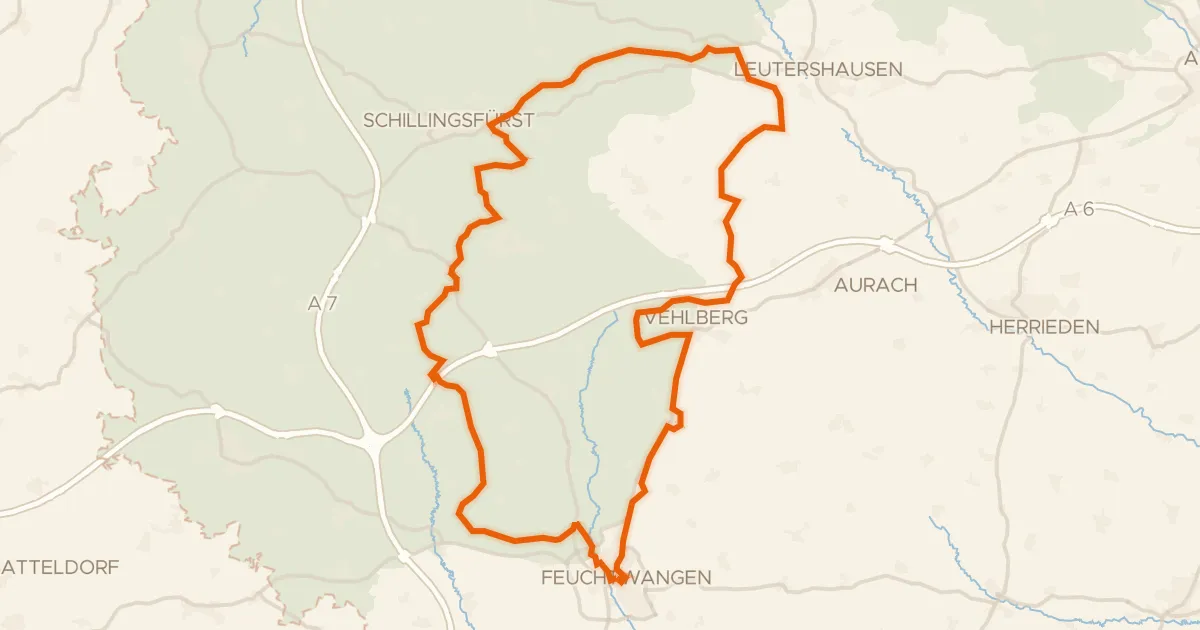
Gravel34% paved
Hills between Sulzach and Vehlberg
60 km↑ 650 m26 km away