Back to the librarykm 5 · Aug 2026 · © mfa / Mapillary, CC BY-SA km 23 · Jul 2022 · © Feuerundwasser / Mapillary, CC BY-SA km 48 · Oct 2025 · © bernd1960 / Mapillary, CC BY-SA km 57 · Feb 2025 · © bernd1960 / Mapillary, CC BY-SA km 10–12km 15–17km 28–31km 32–36km 38–39km 46–47km 50–51
Road bikeMade by RouteCasterRound trip
Hills between Süchterscheid and Vinxel
Distance
74 km
Ascent
1,066 m
Highest point
321 m
100% paved
Start from your location
Ride there from home: we find the shortest way to the loop and start the loop from there.
The ride
Roll out of Königswinter and back again on 73.8 km of paved road. First the Dondorfer See nature reserve, then along the Limersbach and into the Ahrenbachtal und Adscheider Tal reserves. Burg Blankenberg castle breaks up the climbing before the Krabach / Ravensteiner Bach reserve sends you homeward, with 1066 m of elevation along the way.
Along the way
Climbs
Climb 1Hill
1.5 km at 3.6% · max 9.3%
Climb 2Cat. 4
1.9 km at 5.9% · max 11.6%
Climb 3Cat. 4
3.2 km at 3.6% · max 22.8%
Climb 4Cat. 4
3.6 km at 4% · max 10.3%
Climb 5Hill
1.1 km at 4.4% · max 7.6%
Climb 6Hill
0.9 km at 4.7% · max 7.6%
Climb 7Hill
0.5 km at 5.1% · max 10.9%
Routes nearby
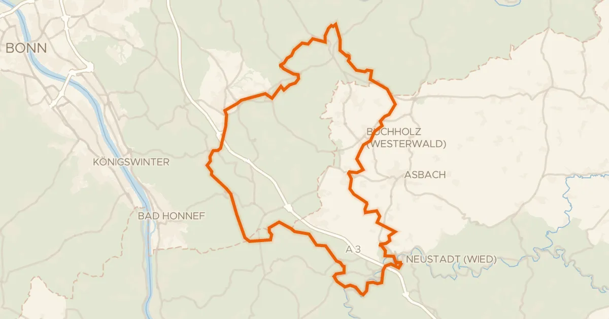
Gravel31% paved
Hilly ride via Ittenbach and Neustadt (Wied)
69 km↑ 1,221 m11 km away
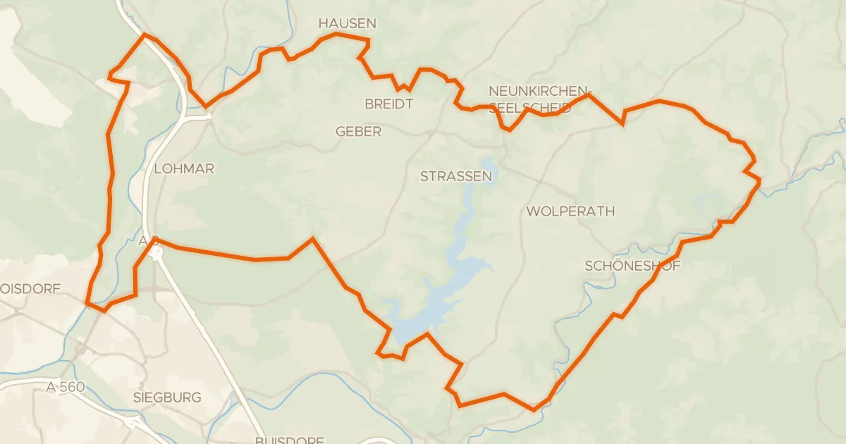
Gravel38% paved
Hills between Birkenfeld and Neunkirchen-Seelscheid
59 km↑ 829 m19 km away
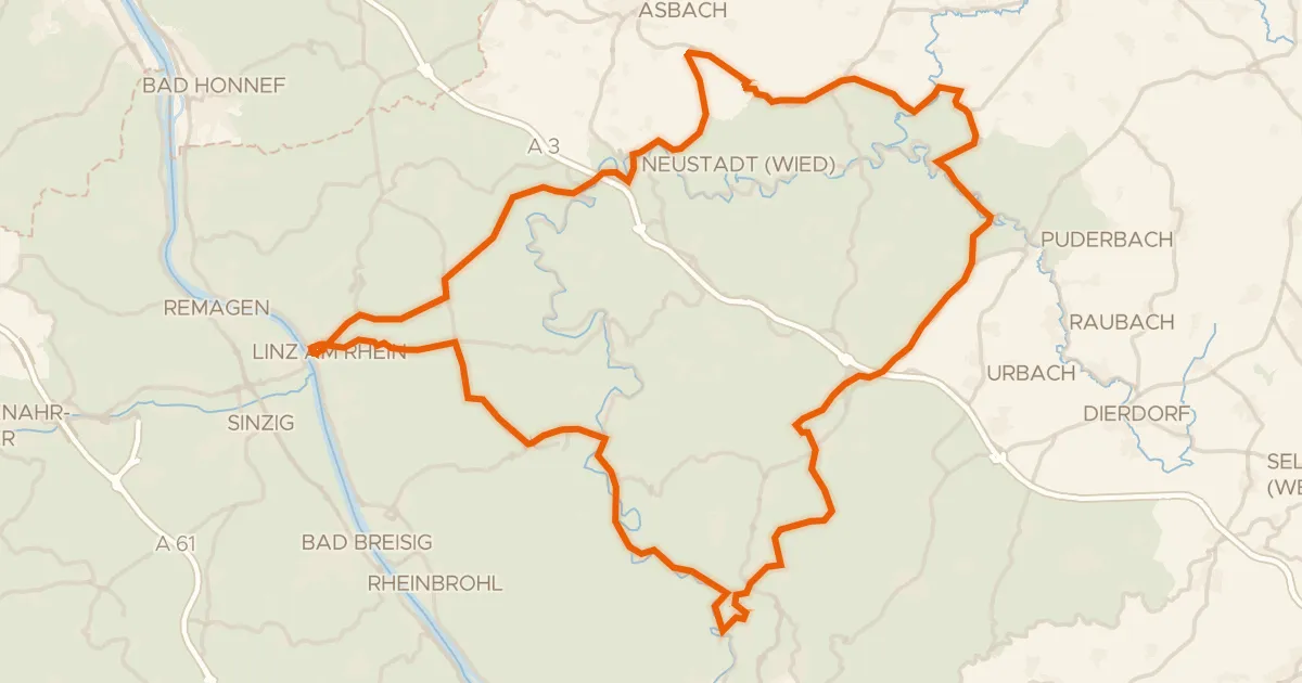
Road bike100% paved
Climbs between Burg Linz and Burg Altenwied
88 km↑ 1,585 m21 km away
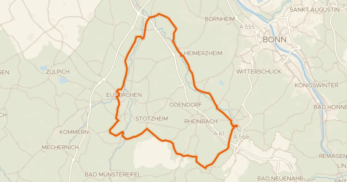
Road bike99% paved
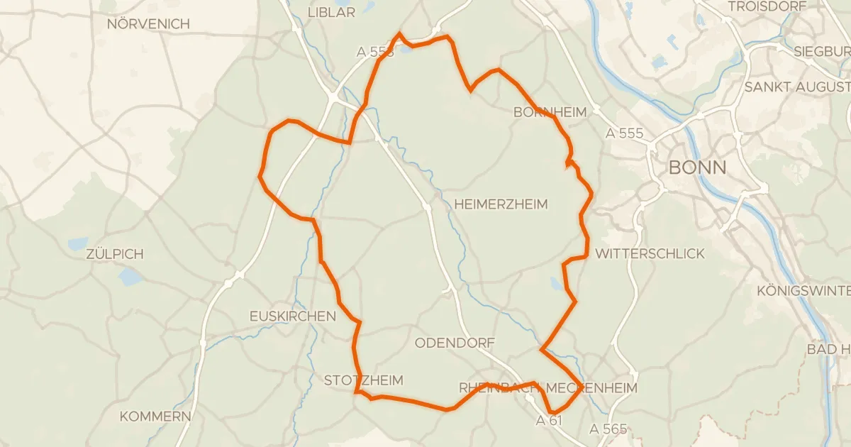
Castles between Morenhoven and Heimerzheim
77 km↑ 570 m21 km away
Road bike99% paved
Castles between Roisdorf and Lommersum
79 km↑ 391 m21 km away
Gravel28% paved
Climbs along the Sieg
53 km↑ 1,193 m22 km away