Back to the librarykm 9 · Jun 2024 · © poxonline / Mapillary, CC BY-SA km 18–21km 24–27km 32–32km 33–35km 38–39km 43–45
GravelMade by RouteCasterRound trip
Hills between Birkenfeld and Neunkirchen-Seelscheid
Distance
59 km
Ascent
829 m
Highest point
234 m
38% paved
Start from your location
Ride there from home: we find the shortest way to the loop and start the loop from there.
The ride
From Parkeerplaats Wahner Heide the route rolls out through the Aggeraue nature reserve between Lohmar and Siegburg, then on past the Gagelbestand and into the Gierssiefen. Burg Herrnstein is the castle stop before the Naafbachtal nature reserve, and then it's back to where you started. Along the way: 59.3 km with 829 m of climbing, mostly unpaved.
Along the way
Climbs
Climb 1Cat. 4
3.4 km at 3.3% · max 16.7%
Climb 2Cat. 4
2.9 km at 4.7% · max 32.6%
Climb 3Hill
0.2 km at 16.6% · max 16.8%
Climb 4Cat. 4
2.2 km at 3.7% · max 13.4%
Climb 5Hill
0.6 km at 4.6% · max 12.3%
Climb 6Cat. 4
2.1 km at 4% · max 14.5%
Routes nearby
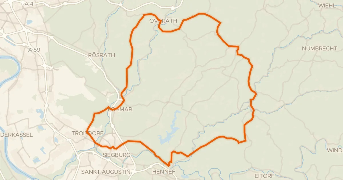
Road bike98% paved
Castles between Much and Lohmar
74 km↑ 972 m8 km away
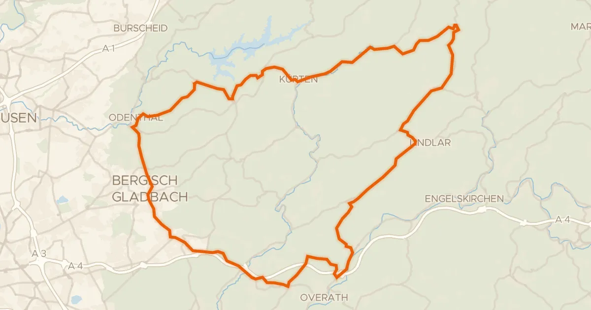
Road bike100% paved
Castles between Untereschbach and Kürten
73 km↑ 1,030 m18 km away
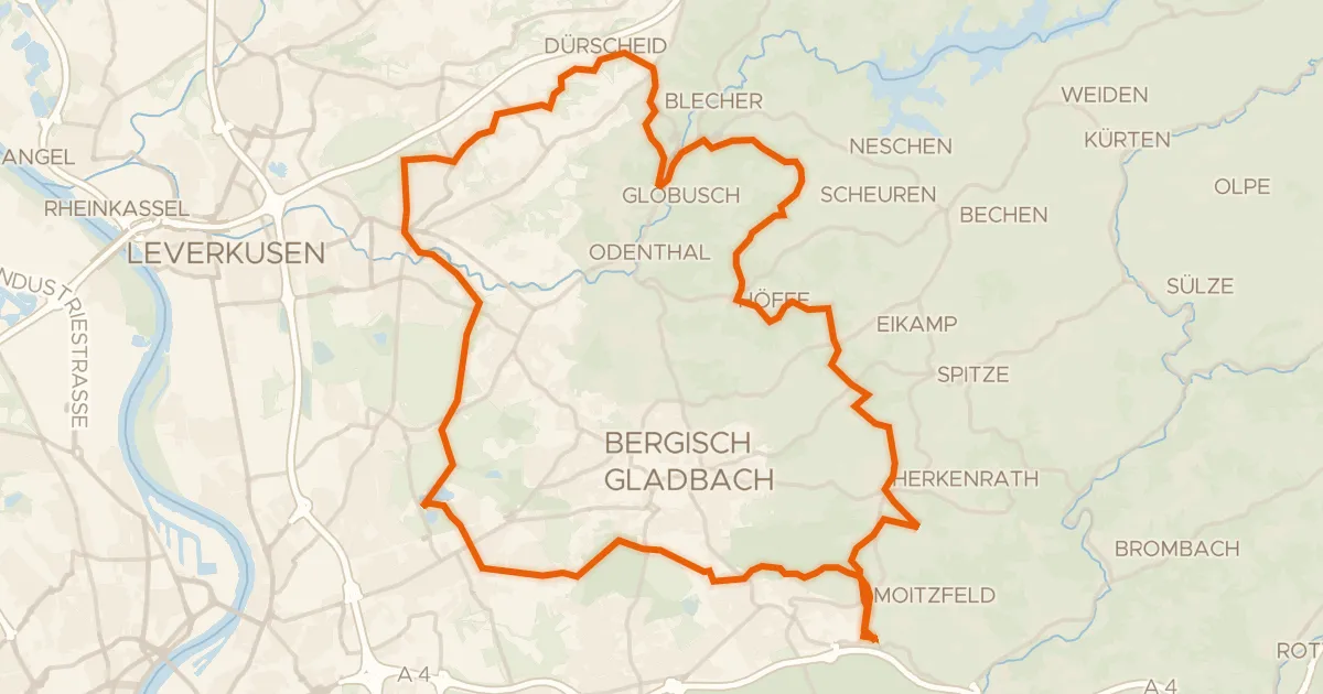
Gravel45% paved
Gravel between Hardtmühle and Herrenstrunden
61 km↑ 904 m18 km away
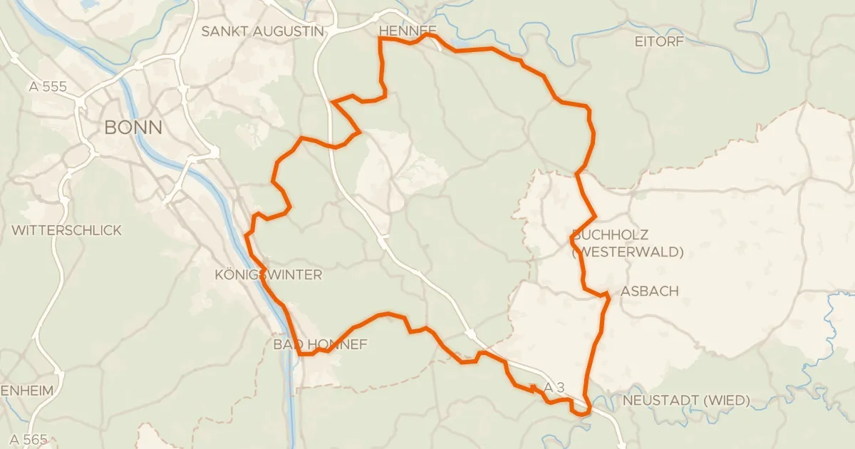
Road bike100% paved
Hills between Süchterscheid and Vinxel
74 km↑ 1,066 m20 km away
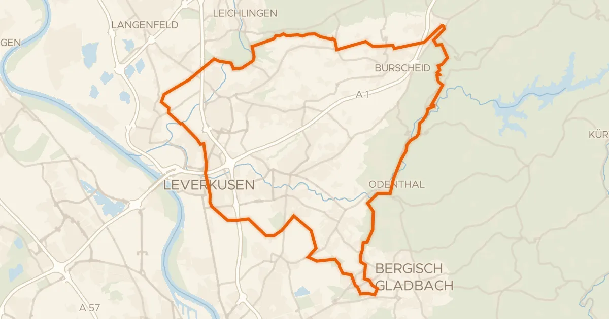
Gravel42% paved
Hills between Altenberg and Odenthal
61 km↑ 631 m23 km away
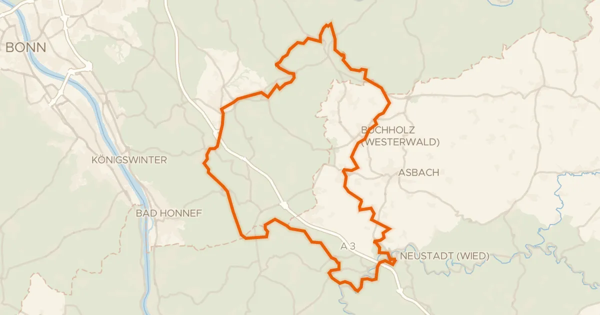
Gravel31% paved
Hilly ride via Ittenbach and Neustadt (Wied)
69 km↑ 1,221 m23 km away