Back to the librarykm 10 · Apr 2026 · © mik007 / Mapillary, CC BY-SA km 30 · Dec 2023 · © mik007 / Mapillary, CC BY-SA km 57 · Apr 2026 · © mik007 / Mapillary, CC BY-SA km 81 · Aug 2026 · © mik007 / Mapillary, CC BY-SA km 0–3km 4–7km 35–36km 38–39km 40–42km 47–50km 53–54km 57–58km 60–63km 63–64km 71–74km 89–92
Road bikeMade by RouteCasterRound trip
Hills between Stiefing and Mur
Distance
95 km
Ascent
1,500 m
Highest point
432 m
99% paved
Start from your location
Ride there from home: we find the shortest way to the loop and start the loop from there.
The ride
Roll out of Mettersdorf am Saßbach and let the ride unfold past Schloß Rohr and Schloss Finkenegg, two castles that bookend the opening kilometres. The Mur and the Kainach rivers carry you onward to the Burgruine Alt-Wildon, a castle ruin worth a glance before the Mühlgang canal takes over. With 94.8 km ahead and 1500 m of climbing, the route keeps you honest all the way to Schloss Poppendorf, a castle near the finish. Then it's back to where you started.
Along the way
Climbs
Climb 1Cat. 4
2.9 km at 3.8% · max 14.4%
Climb 2Cat. 4
3 km at 3% · max 12.9%
Climb 3Hill
1.8 km at 3.8% · max 7.2%
Climb 4Hill
1 km at 6.2% · max 14.7%
Climb 5Cat. 4
1.5 km at 5.4% · max 11%
Climb 6Cat. 4
3.5 km at 3.3% · max 18.8%
Climb 7Hill
0.7 km at 9.1% · max 22.9%
Climb 8Hill
1.7 km at 3.9% · max 22.8%
Climb 9Hill
2.2 km at 3.6% · max 14.8%
Climb 10Cat. 4
0.9 km at 9.7% · max 18.4%
Climb 11Cat. 4
3.2 km at 3.3% · max 14.2%
Climb 12Cat. 4
2.9 km at 4.1% · max 14.8%
Routes nearby

Road bike100% paved
Castles between Klöch and Halbenrain
76 km↑ 1,083 m13 km away
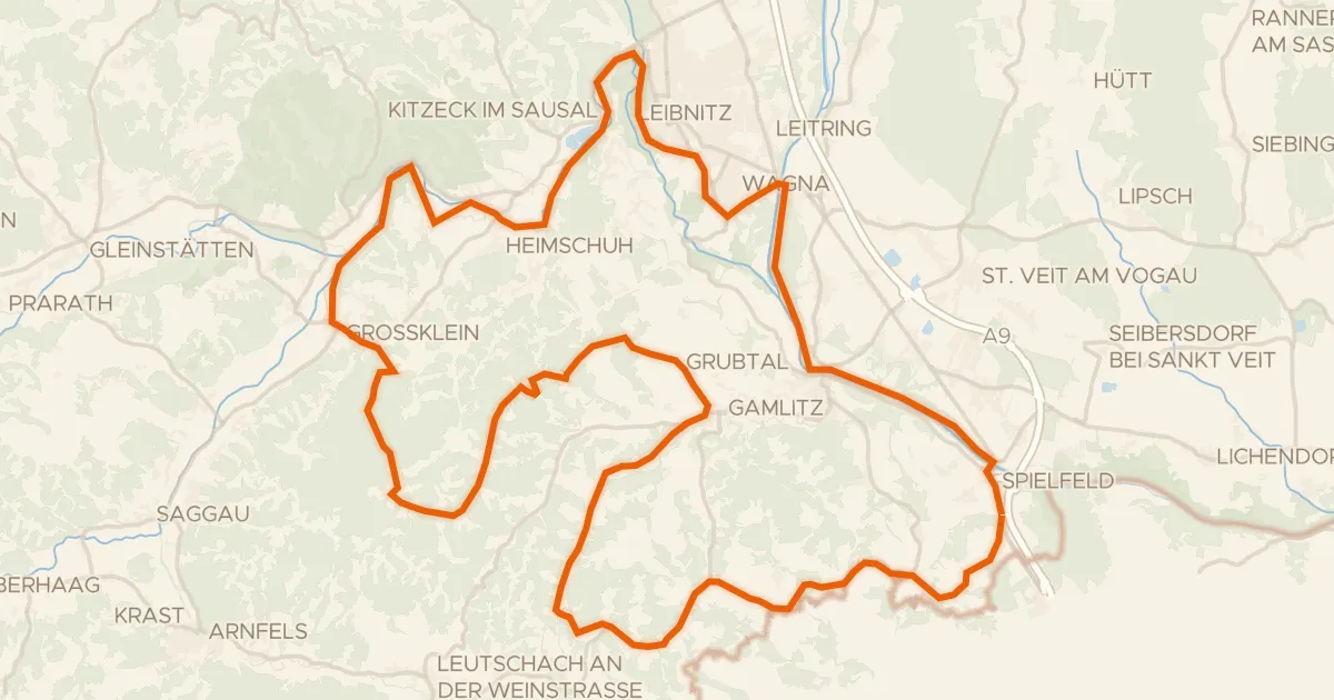
Touring89% paved
Weinstraßen Tour
73 km↑ 1,298 m15 km away

Road bike99% paved
Castles between Stiefing and Mur
73 km↑ 977 m18 km away
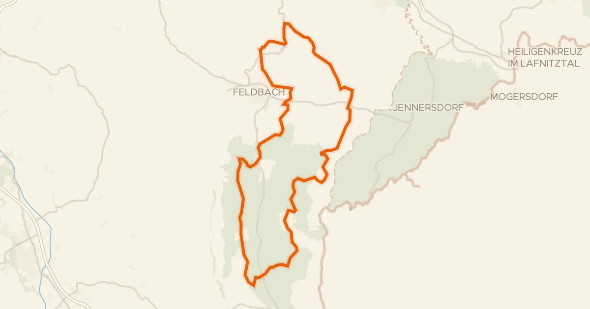
Road bike100% paved
Riesentour
98 km↑ 1,556 m20 km away

Gravel70% paved
Climb along the Stiefing
60 km↑ 1,341 m22 km away

Road bike100% paved
Hills between Riegersburg and the Raab
91 km↑ 1,086 m23 km away