Back to the librarykm 14 · May 2021 · © u001 / Mapillary, CC BY-SA km 23 · Dec 2022 · © crami / Mapillary, CC BY-SA km 42 · Dec 2022 · © crami / Mapillary, CC BY-SA km 57 · May 2019 · © mr4703 / Mapillary, CC BY-SA km 8–11km 12–18km 21–23km 24–27km 31–34km 48–51km 63–67
Road bikeMade by RouteCasterRound trip
Hills between Randegg and Büsingen am Hochrhein
Distance
74 km
Ascent
1,219 m
Highest point
750 m
100% paved
Start from your location
Ride there from home: we find the shortest way to the loop and start the loop from there.
The ride
From Basadingen you roll out toward the Rhein, then into Regionaler Naturpark Schaffhausen. Past Schloss Herblingen and Burgfried Tengen the route keeps climbing to 1219 m of elevation gain, with a stop by the Ehinger Ried nature reserve before Schloß Weiterdingen. Along the Biber and past Schloss Randegg, the loop turns for home. It's 74.2 km, all paved.
Along the way
Climbs
Climb 1Cat. 4
2.5 km at 3.3% · max 7.8%
Climb 2Cat. 3
5.6 km at 4.2% · max 16.6%
Climb 3Cat. 4
2.6 km at 5.7% · max 12.3%
Climb 4Cat. 3
2.7 km at 6.2% · max 13.5%
Climb 5Hill
2.1 km at 3.2% · max 11.4%
Climb 6Cat. 4
3 km at 3.9% · max 11.6%
Climb 7Cat. 4
3.7 km at 3.7% · max 11.9%
Routes nearby
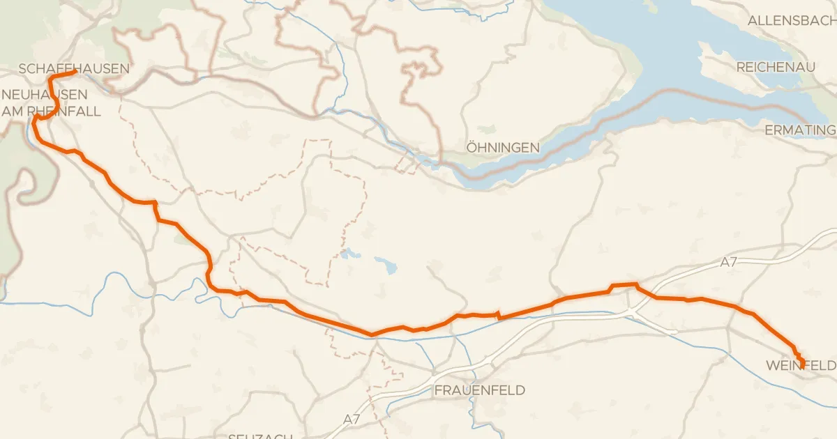
Touring91% paved
Ostschweizer Wein-Route
52 km↑ 585 m10 km away
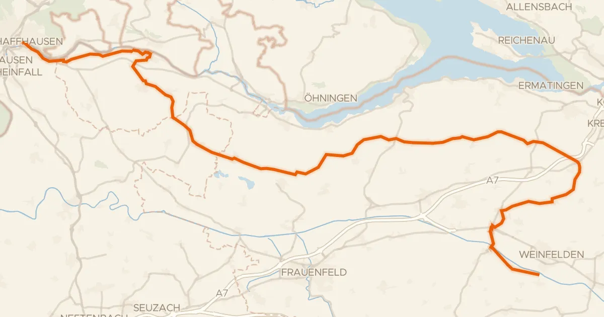
Touring79% paved
Geo-Route
68 km↑ 709 m12 km away
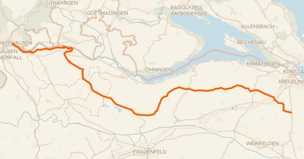
Touring81% paved
Seerücken-Route
56 km↑ 623 m12 km away
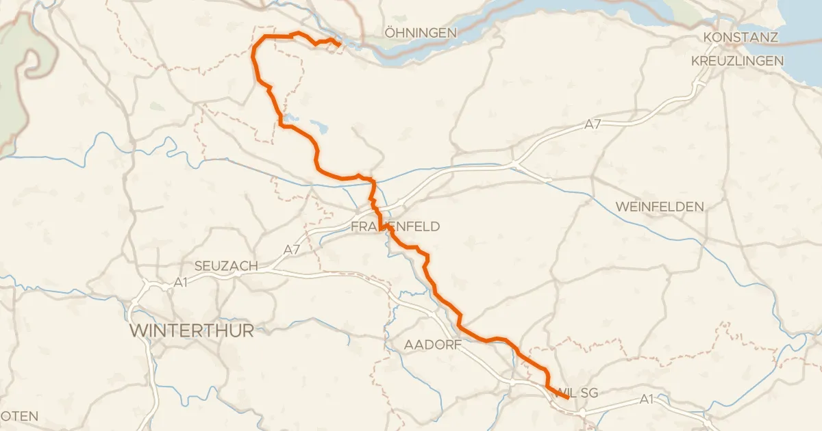
Touring91% paved
Kartäuser-Fürstenland-Route
43 km↑ 573 m17 km away
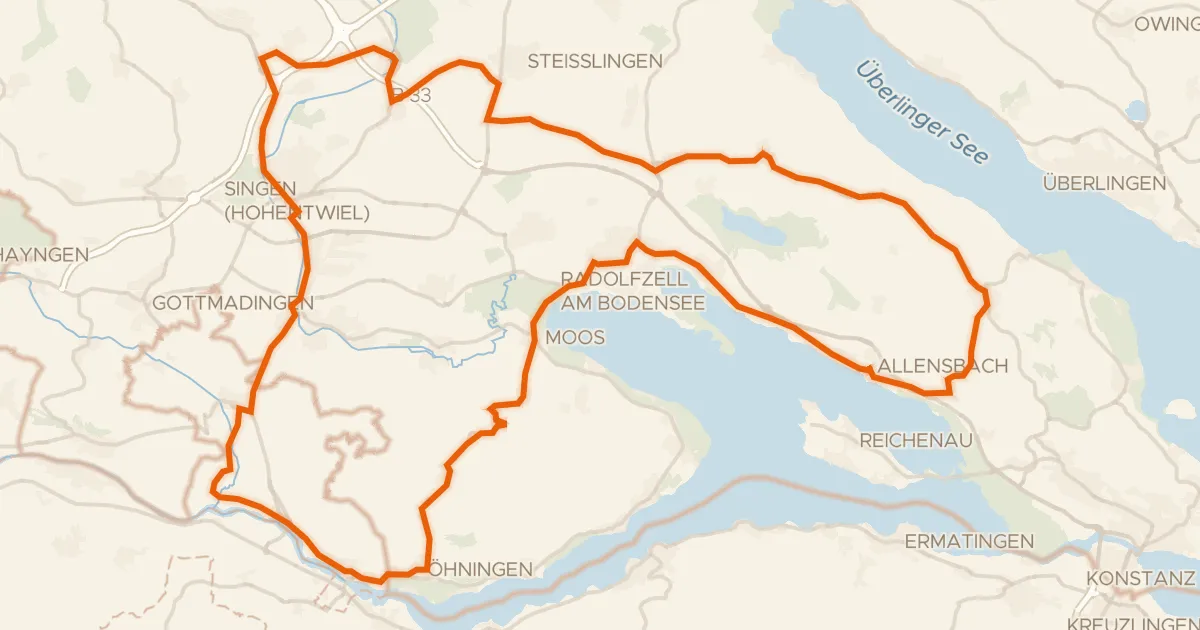
Road bike100% paved
Castles between Allensbach and Langenrain
86 km↑ 804 m18 km away
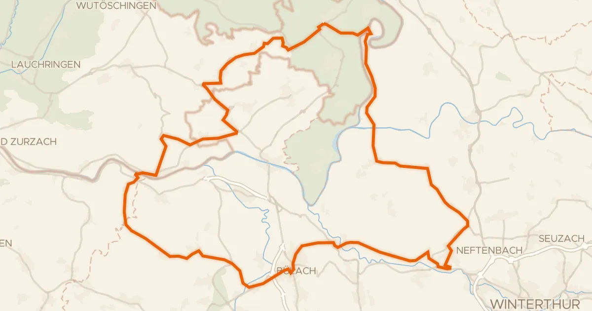
Road bike98% paved
Castles between Töss and Thur
78 km↑ 1,050 m18 km away