Back to the librarykm 4–8km 30–34
Road bikeMade by RouteCasterRound trip
Hills between L'Ain and L'Angillon
Distance
76 km
Ascent
748 m
Highest point
676 m
100% paved
Start from your location
Ride there from home: we find the shortest way to the loop and start the loop from there.
The ride
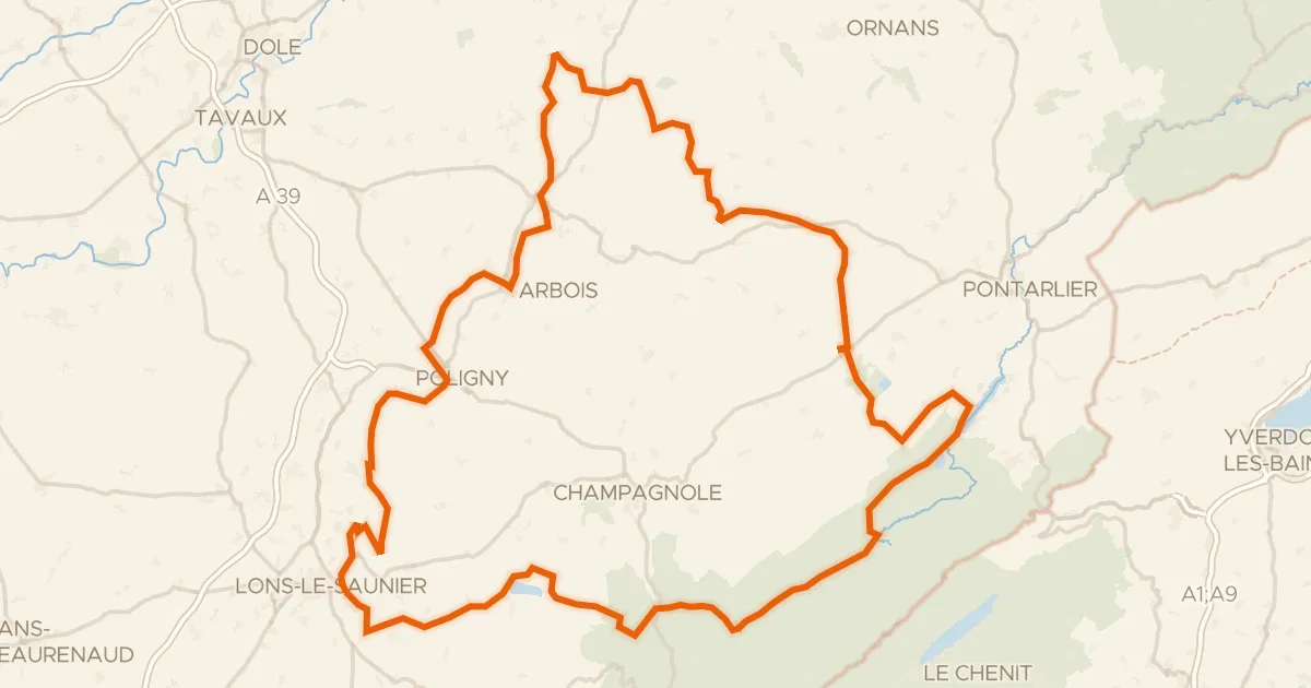
This ride rolls out of Champagnole and back again, 76.2 km with 748 m of climbing, all of it on paved surface. You follow the Ain river out of town, then pass the Reculée de Balerne nature reserve before picking up the Angillon river. The route then takes you through the Forêt de la Joux forest, and from there it's back to Champagnole to close the loop.
Climbs
Climb 1Cat. 4
3.7 km at 3.6% · max 14.8%
Climb 2Cat. 4
3.3 km at 4.3% · max 9.1%
Routes nearby
Touring94% paved
P’tite GTJ à vélo
256 km↑ 3,859 m13 km away

Gravel30% paved
Rondje Forêt du Risoux en La Saine
58 km↑ 1,462 m19 km away

Road bike99% paved
Rondje Forêt de la Joux en Le Lison
75 km↑ 1,073 m20 km away

Gravel30% paved
Rondje Lac de Remoray en Le Drugeon
59 km↑ 877 m25 km away

Road bike100% paved
Langs Le Doubs en Le Drugeon
63 km↑ 631 m25 km away

Road bike99% paved
Rondje Château d'Arlay en La Seille
74 km↑ 800 m28 km away