Back to the librarykm 29 · Sep 2025 · © michellefritz / Mapillary, CC BY-SA km 39 · Oct 2025 · © slphil / Mapillary, CC BY-SA km 40–41km 52–54km 57–58
GravelMade by RouteCasterRound trip
Hills between Kastellaun and Michelbach
Distance
60 km
Ascent
738 m
Highest point
502 m
22% paved
Start from your location
Ride there from home: we find the shortest way to the loop and start the loop from there.
The ride
Roll out of Kastellaun and let the ride unfold: 60.3 km with 738 m of climbing, mostly on unpaved tracks. You pass Burg Kastellaun, the castle, before the route leads on towards Birkenstruth, a forest. Then it's back to Kastellaun to close the loop.
Along the way
Climbs
Climb 1Hill
1.5 km at 5.3% · max 10.9%
Climb 2Cat. 4
2.4 km at 4.6% · max 9.7%
Climb 3Hill
0.8 km at 4.5% · max 11.1%
Routes nearby
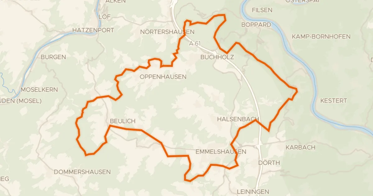
Gravel15% paved
Climbs past the Morshausener Eselchen
62 km↑ 1,517 m14 km away
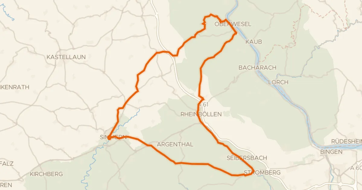
Road bike100% paved
Climbs along the Rhein and Simmerbach
74 km↑ 1,358 m15 km away
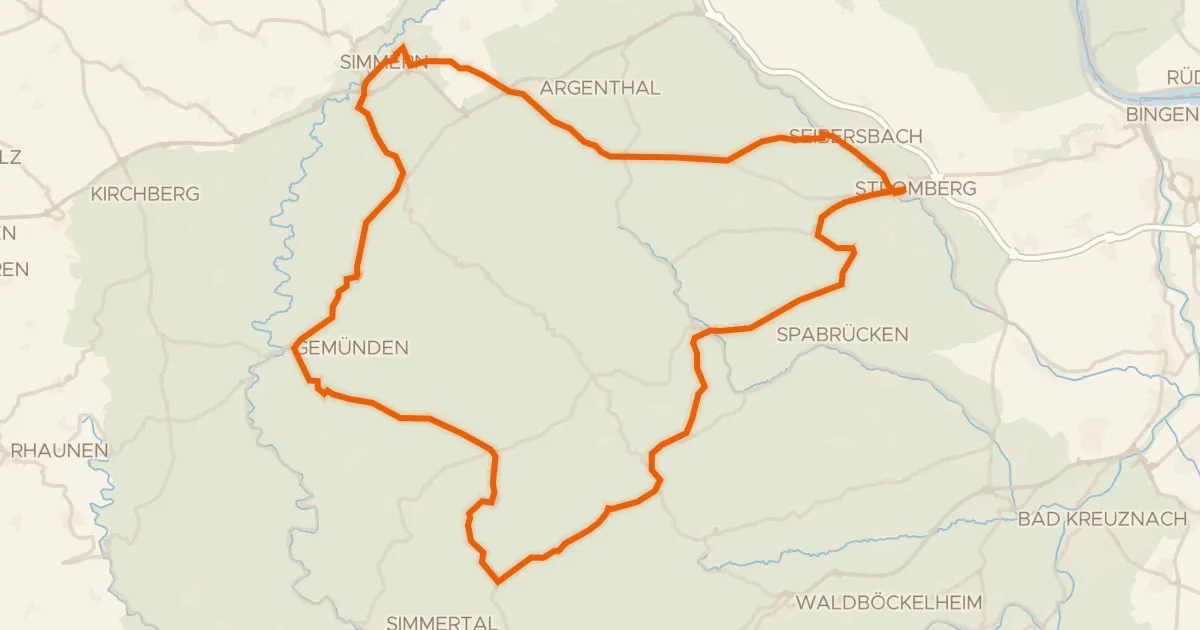
Road bike98% paved
Castles between Stromberg and Simmern
76 km↑ 1,420 m23 km away
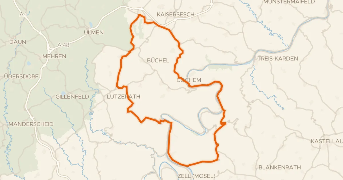
Road bike99% paved
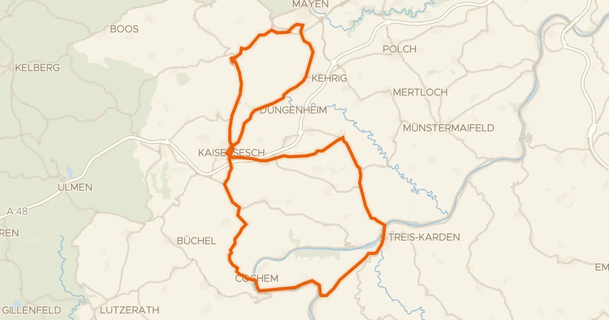
Hills between Merl and Beilstein
77 km↑ 1,279 m23 km away
Road bike99% paved
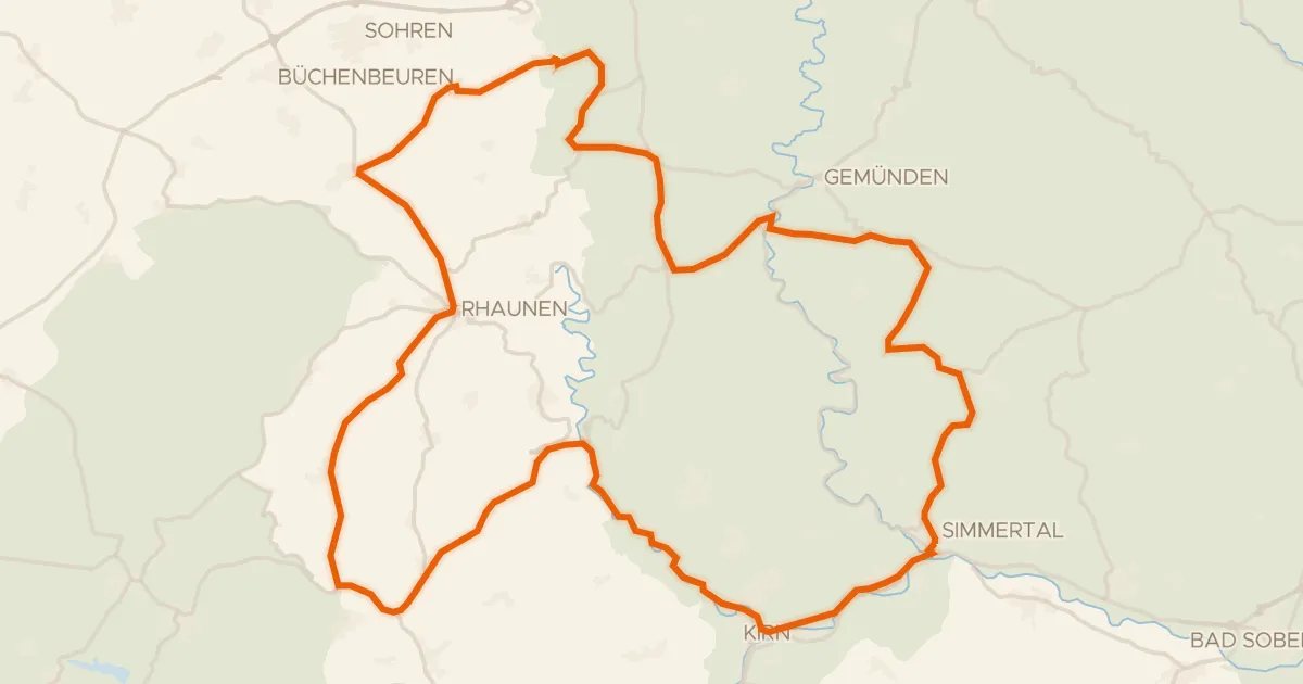
Climbs between Löwenburg and Philippsburg
75 km↑ 1,537 m23 km away
Road bike100% paved
Castles between Dickenschied and Dill
75 km↑ 1,227 m24 km away