Back to the librarykm 2 · Nov 2019 · © highwayphotograph / Mapillary, CC BY-SA km 38 · Feb 2018 · © live / Mapillary, CC BY-SA km 65 · Aug 2021 · © highwayphotograph / Mapillary, CC BY-SA km 0–1km 3–4km 5–6km 21–22km 23–24km 26–28km 29–29km 40–41km 43–45km 55–56km 58–58
Road bikeMade by RouteCasterRound trip
Hills between Haselbach and Spitzendorf
Distance
73 km
Ascent
1,152 m
Highest point
522 m
100% paved
Start from your location
Ride there from home: we find the shortest way to the loop and start the loop from there.
The ride
Roll out from Parkeerplaats Hoiberhügel and straight into the Hoiberhügel nature reserve, then on through Forchenhügel und Moosleiten and the Naturpark Bayerischer Wald. The Gaißa river runs alongside before the route reaches Schloss Rathsmannsdorf and Burg Rathsmannsdorf. It's 73.1 km, all of it paved, with 1152 m of climbing, and it finishes back at the parking area.
Along the way
Climbs
Climb 1Hill
1.1 km at 4% · max 8.4%
Climb 2Hill
1.3 km at 3.5% · max 7.3%
Climb 3Hill
1.2 km at 3.2% · max 7.7%
Climb 4Hill
1.3 km at 3.5% · max 8.7%
Climb 5Hill
0.5 km at 5.1% · max 9.3%
Climb 6Cat. 4
2.3 km at 4.5% · max 13.8%
Climb 7Hill
0.8 km at 3.6% · max 6.8%
Climb 8Hill
1.3 km at 4.8% · max 8.5%
Climb 9Cat. 4
2.1 km at 4.5% · max 10.2%
Climb 10Hill
0.9 km at 4.5% · max 8%
Climb 11Hill
0.8 km at 3.6% · max 5.8%
Routes nearby
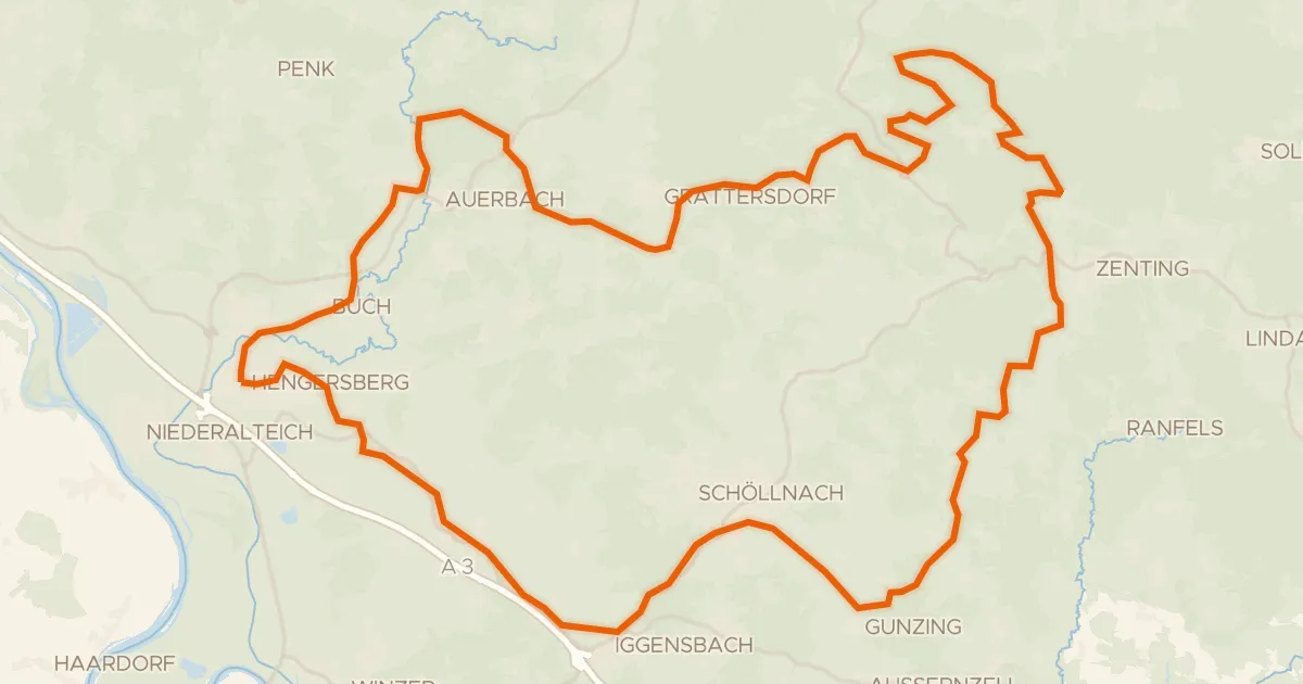
Gravel40% paved
Gravel loop through the Schuttholzer Moor
60 km↑ 1,348 m8 km away
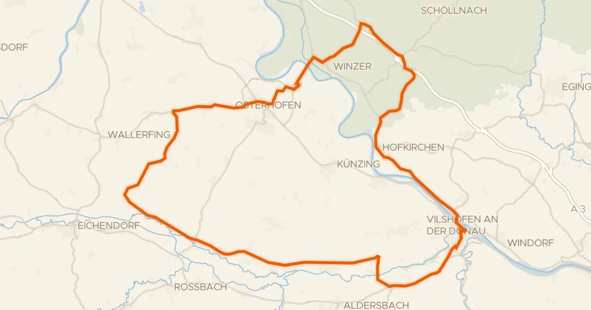
Road bike99% paved
Castles along the Vils
72 km↑ 530 m14 km away
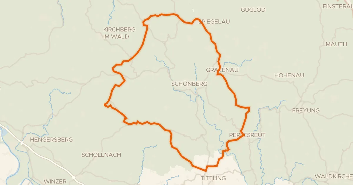
Road bike98% paved
Climbs between Spiegelau and Kirchdorf im Wald
78 km↑ 1,535 m14 km away
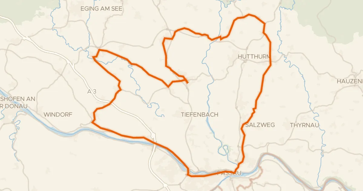
Road bike98% paved
Castles between Donau and Ilz
72 km↑ 942 m17 km away
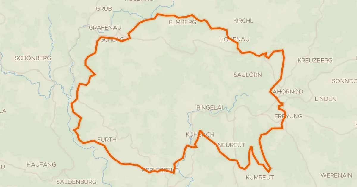
Gravel36% paved
Waterside between Perlesreut and Furth
58 km↑ 1,485 m21 km away
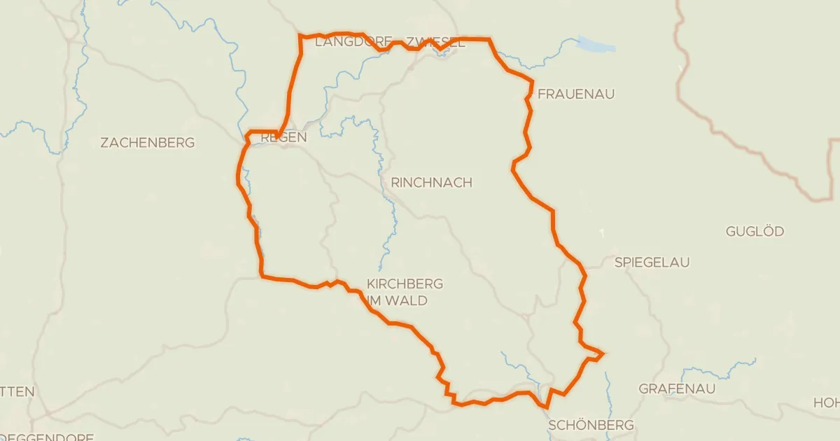
Road bike99% paved
Waterside through the Bayerischer Wald
73 km↑ 1,286 m23 km away