Back to the librarykm 17 · Apr 2023 · © tasmaniadevil / Mapillary, CC BY-SA km 24 · Apr 2026 · © tasmaniadevil / Mapillary, CC BY-SA km 58 · Oct 2025 · © poseidon69 / Mapillary, CC BY-SA km 69 · Jul 2026 · © lin_wang / Mapillary, CC BY-SA km 8–10km 11–11km 44–45km 46–47km 72–73km 76–83
Road bikeMade by RouteCasterRound trip
Hills between Grüningen and Fützen
Distance
90 km
Ascent
1,103 m
Highest point
831 m
99% paved
Start from your location
Ride there from home: we find the shortest way to the loop and start the loop from there.
The ride
Roll out from Parkeerplaats Deggenreuschen - Rauschachen and let the ride unfold. You pass through Unterhölzer Wald nature reserve, then Naturpark Obere Donau, before Burg Wartenberg castle appears on the route. Onward past Wutachflühen nature reserve and along the Wutach river, with 90.0 km and 1103 m of climbing ahead. Almost all of it is paved, and the loop brings you back to where you started.
Along the way
Climbs
Climb 1Hill
1.9 km at 3.7% · max 12.2%
Climb 2Hill
0.5 km at 6.2% · max 16.2%
Climb 3Hill
1.4 km at 4.5% · max 9.6%
Climb 4Cat. 4
1 km at 11.4% · max 16.9%
Climb 5Hill
0.7 km at 6.2% · max 9%
Climb 6Cat. 3
7.5 km at 3.3% · max 9.5%
Routes nearby
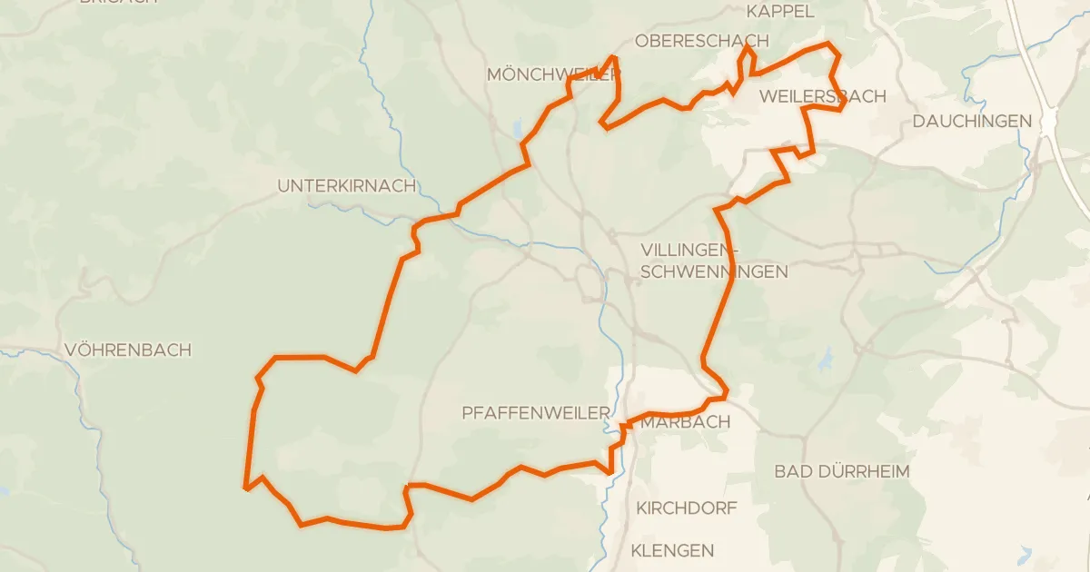
Gravel36% paved
Gravel between Brigach and Marbach
57 km↑ 796 m16 km away
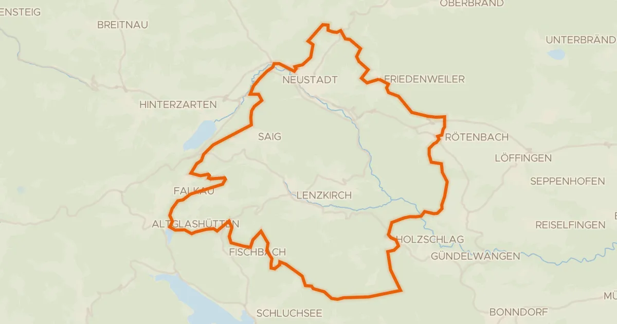
Gravel12% paved
Climbs along the Wutach
61 km↑ 1,501 m19 km away
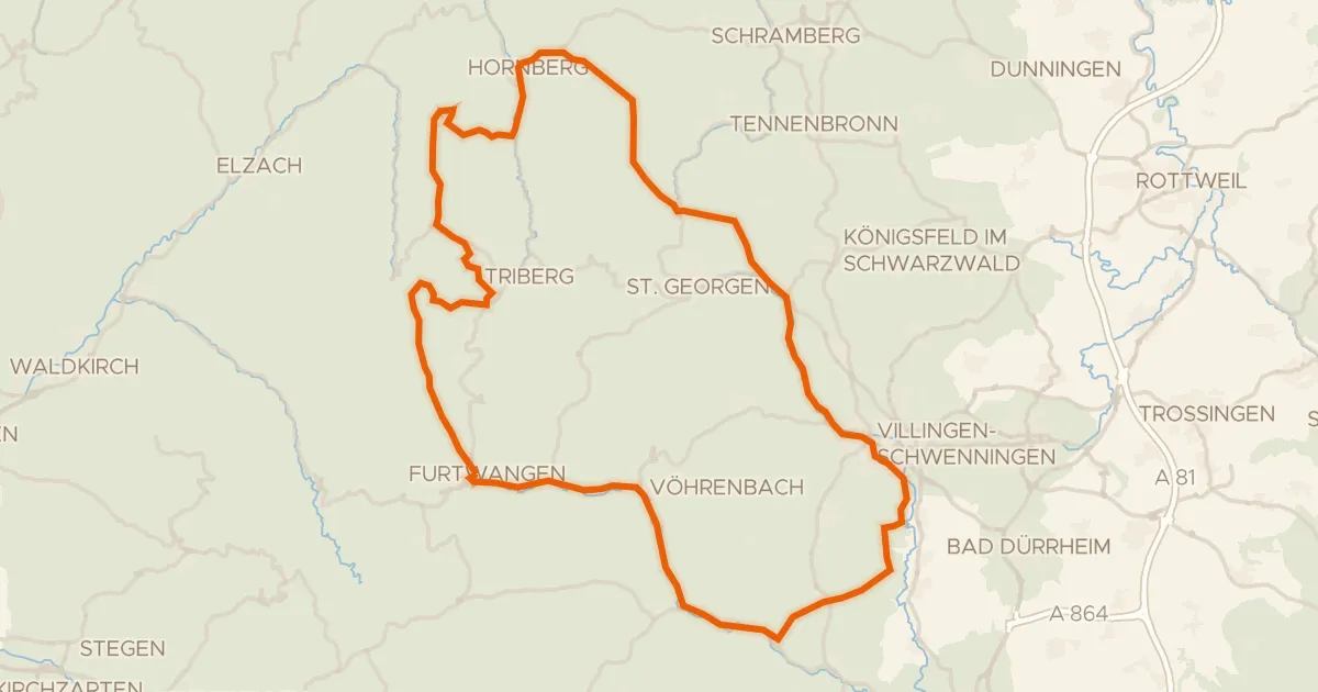
Road bike97% paved
Hills between Blindensee and Zindelstein
97 km↑ 1,676 m24 km away
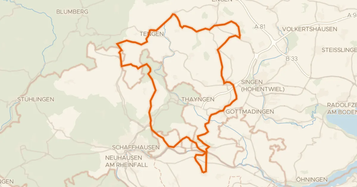
Road bike100% paved
Hills between Randegg and Büsingen am Hochrhein
74 km↑ 1,219 m26 km away
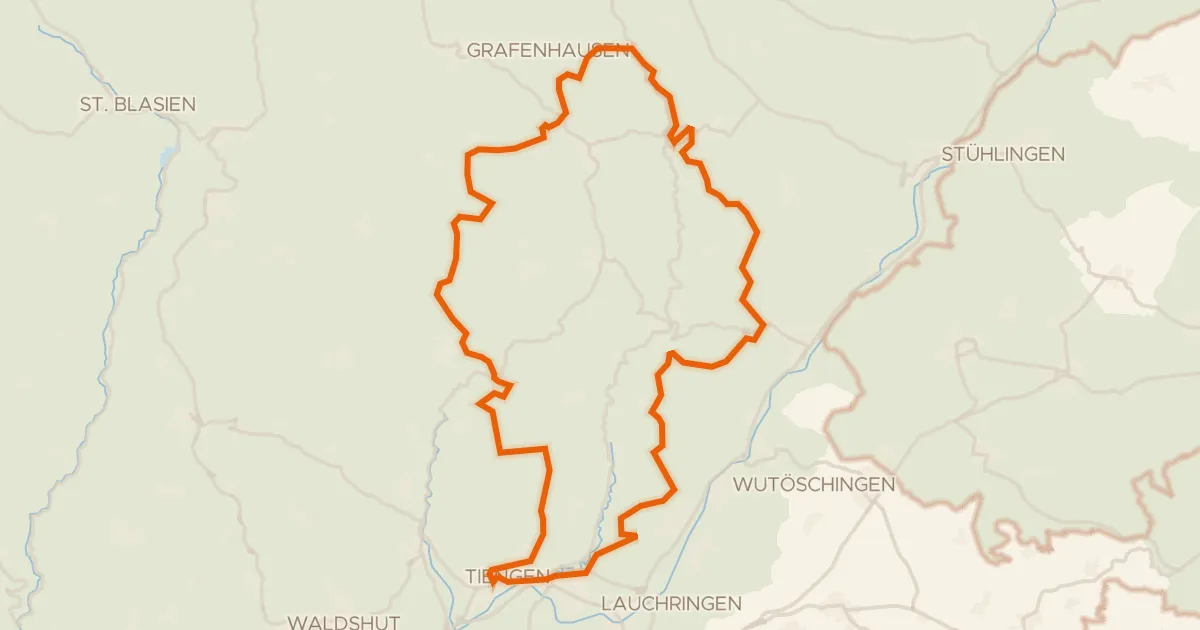
Gravel29% paved
Climb along the Steina to the castles
63 km↑ 1,501 m26 km away
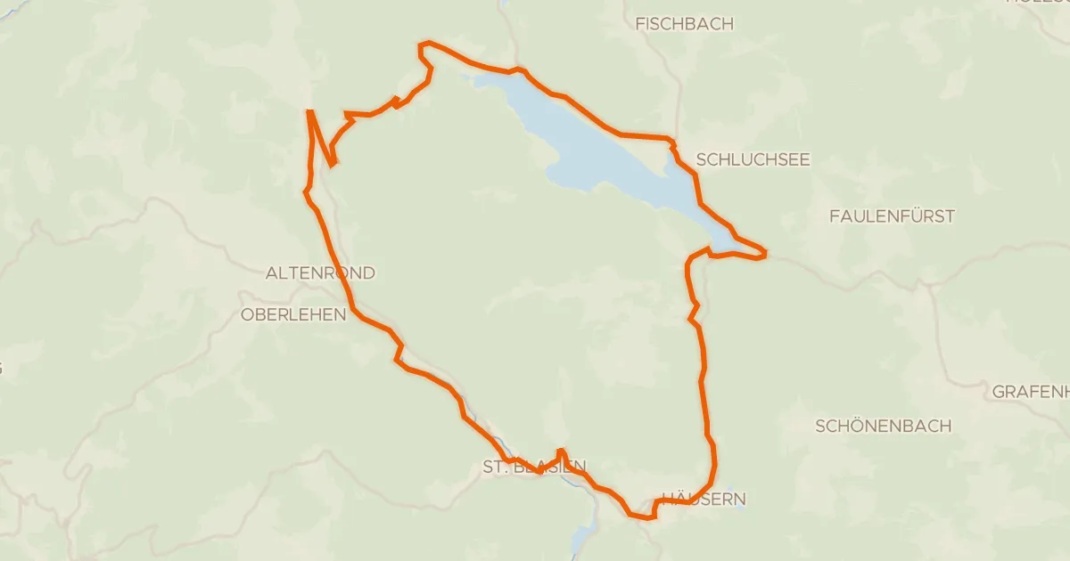
Touring75% paved
RouteWT 12 - St. Blasierland-Schluchsee-Tour
39 km↑ 772 m28 km away
Äulemer Kreuz