Back to the librarykm 1–3km 4–7km 15–17km 38–45km 48–48km 52–52km 56–56
GravelMade by RouteCasterRound trip
Hills between Frasne and Vaux-et-Chantegrue
Distance
59 km
Ascent
877 m
Highest point
1,096 m
30% paved
Start from your location
Ride there from home: we find the shortest way to the loop and start the loop from there.
The ride
Roll out from the parking area at Réserve naturelle nationale du lac de Remoray and let the ride unfold. You pass the tourbières de Frasne-Bouverans nature reserve, follow the Drugeon river, and skirt Lac de Remoray before looping back. With 58.9 km and plenty of unpaved track underfoot, it's a lively mix of surfaces and climbing.
Climbs
Climb 1Hill
1.5 km at 4.6% · max 9.1%
Climb 2Cat. 4
2.8 km at 3.6% · max 12%
Climb 3Hill
1.1 km at 3.3% · max 10%
Climb 4Cat. 3
6.7 km at 4.2% · max 24.3%
Climb 5Hill
0.3 km at 9.4% · max 16.4%
Climb 6Hill
0.7 km at 8.6% · max 17%
Climb 7Hill
0.6 km at 7.4% · max 16.1%
Routes nearby

Road bike100% paved
Between Le Doubs and Le Drugeon
63 km↑ 631 m2 km away

Road bike95% paved
Castles between Le Drugeon and Le Doubs
79 km↑ 1,163 m15 km away

Gravel30% paved
Rondje Forêt du Risoux en La Saine
58 km↑ 1,462 m15 km away
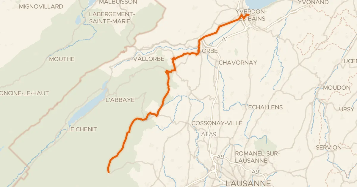
Road bike101% paved
Route du pied du Jura
50 km↑ 742 m22 km away

Gravel51% paved
Waterside between Le Drugeon and Le Doubs
61 km↑ 1,071 m22 km away

Road bike99% paved
Climb between La Venoge and L'Orbe
77 km↑ 1,456 m23 km away