Back to the librarykm 2 · Sep 2024 · © miguel_andrade / Mapillary, CC BY-SA km 23 · Feb 2021 · © thetornado76 / Mapillary, CC BY-SA km 40 · Apr 2024 · © saschahaberkorn / Mapillary, CC BY-SA km 68 · Sep 2023 · © geonym / Mapillary, CC BY-SA km 1–5km 19–21km 24–26km 33–35km 71–72
Road bikeMade by RouteCasterRound trip
Hills between Ebenhöhe-Liebenberg and Dün
Distance
72 km
Ascent
974 m
Highest point
501 m
100% paved
Start from your location
Ride there from home: we find the shortest way to the loop and start the loop from there.
The ride
Roll out from Parkeerplaats Ebenhöhe-Liebenberg and the climbing begins early, with 974 m of elevation gain spread across the route. Past Gut Werleshausen manor, then into the Ebenhöhe-Liebenberg nature reserve, before the Geo-Naturpark Frau-Holle-Land opens up ahead. On through the Dün forest and the Harthberg nature reserve, all on 71.9 km of paved surface. Then it's back to where you started.
Along the way
Climbs
Climb 1Cat. 3
3.5 km at 5% · max 11.5%
Climb 2Hill
1.7 km at 3.4% · max 6.6%
Climb 3Hill
1.8 km at 4.2% · max 8.3%
Climb 4Hill
1.8 km at 3% · max 8.5%
Climb 5Hill
0.8 km at 4.7% · max 10.8%
Routes nearby
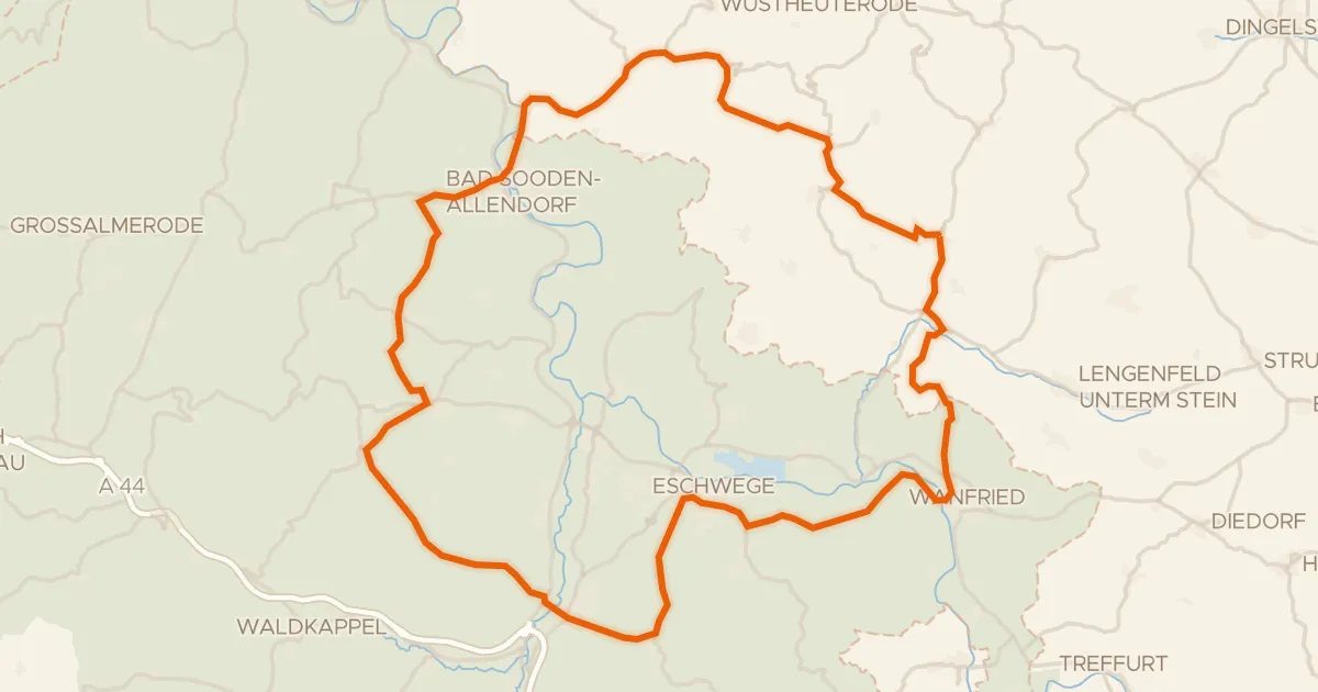
Road bike99% paved
Castles between Ershausen and Aue
74 km↑ 989 m13 km away
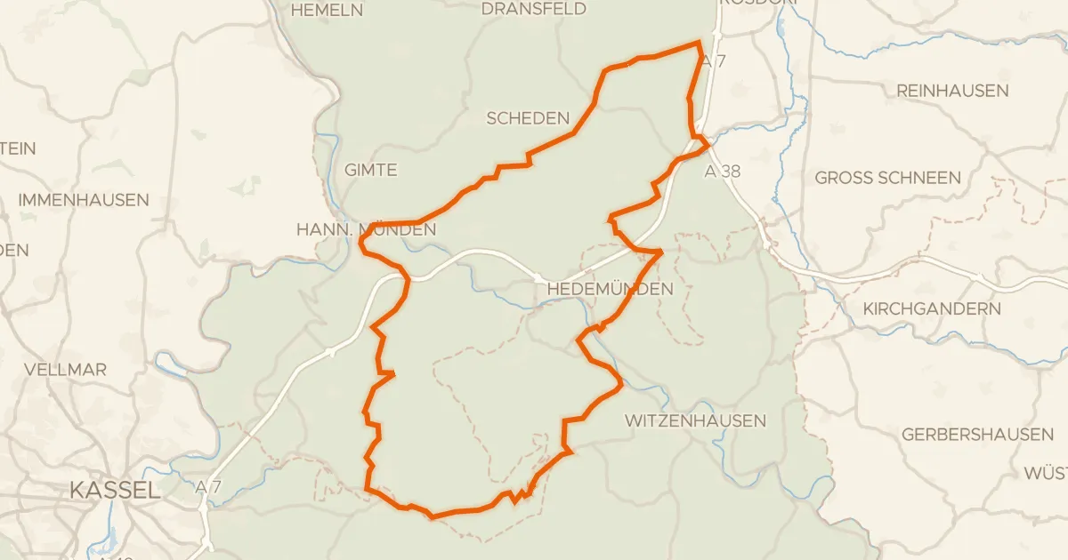
Road bike96% paved
Castle loop over the hills of Nieste
76 km↑ 1,229 m14 km away
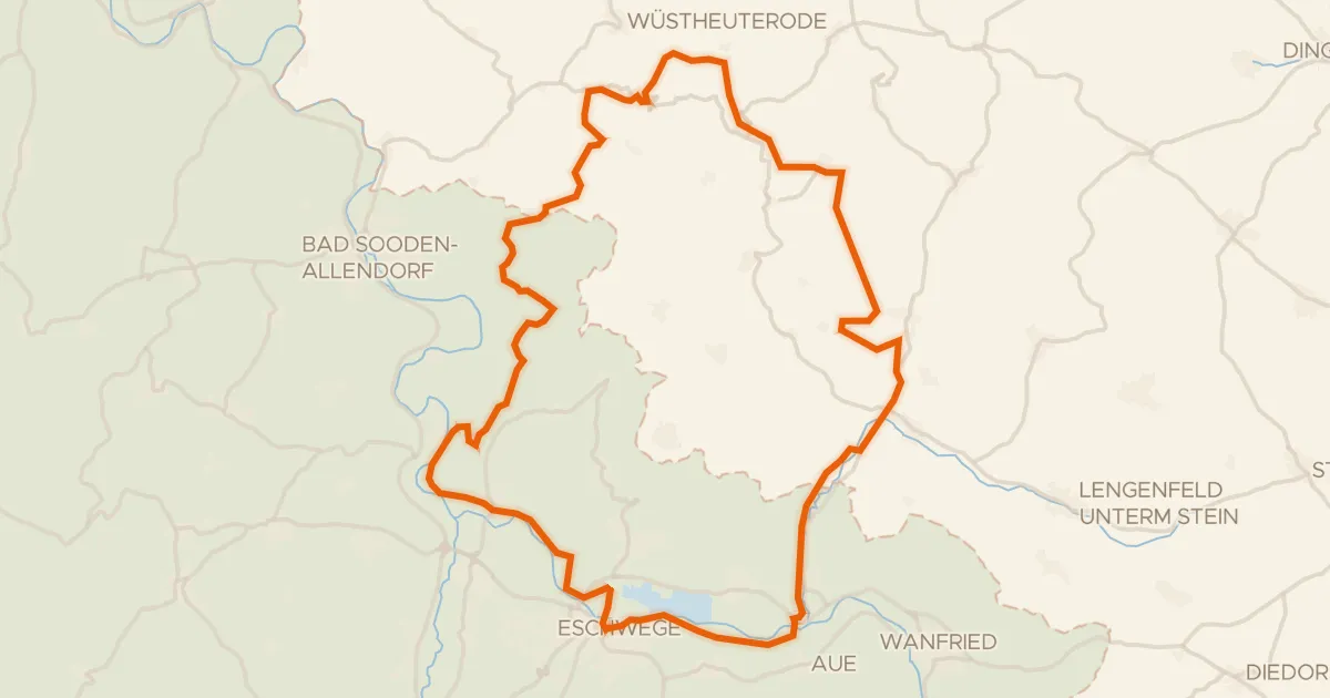
Gravel34% paved
Climbs between Burg Fürstenstein and Schloss Jestädt
57 km↑ 1,115 m14 km away
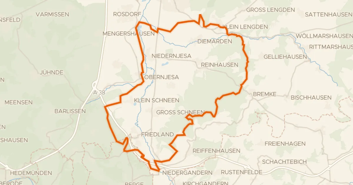
Gravel30% paved
Langs de Leine en Rhöneberg bei Marzhausen
54 km↑ 770 m15 km away
Gravel14% paved
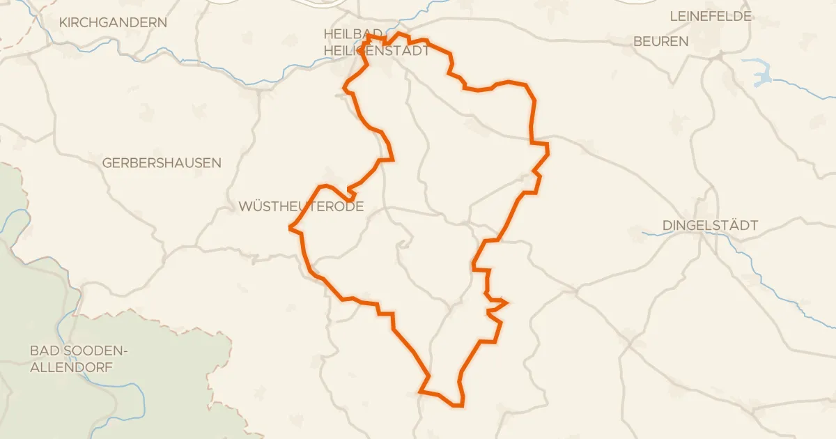
Climbs through the woods between Fürstenhagen and Krombach
55 km↑ 1,229 m17 km away
Road bike100% paved
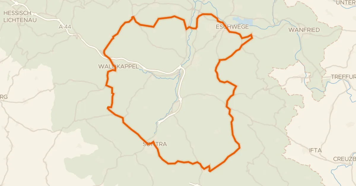
Waterside loop between Oberdünzebach and Renda
75 km↑ 1,198 m22 km away