Back to the librarykm 8–9km 34–37km 57–61km 66–67km 74–77
Road bikeMade by RouteCasterRound trip
Hills between Chirens and La Fure
Distance
79 km
Ascent
785 m
Highest point
599 m
100% paved
Start from your location
Ride there from home: we find the shortest way to the loop and start the loop from there.
The ride
Roll out of Chirens and follow the road along La Fure river before the route climbs toward the Domaine des Croisettes castle. From there it's on through the Forêt de Bonnevaux forest, with 785 m of elevation gain spread across the day. The 78.9 km loop is fully paved, and it brings you back to Chirens to close the circle.
Climbs
Climb 1Hill
0.8 km at 3.3% · max 7.2%
Climb 2Cat. 4
3.1 km at 4.4% · max 11.5%
Col de RossatièreCat. 4
4 km at 3% · max 6.5%
Climb 4Hill
1.8 km at 3.7% · max 6.8%
Climb 5Hill
2.4 km at 3.2% · max 9.2%
Routes nearby

Gravel38% paved
Rondje Parc naturel régional de Chartreuse en Le Guiers Mort
60 km↑ 2,228 m9 km away
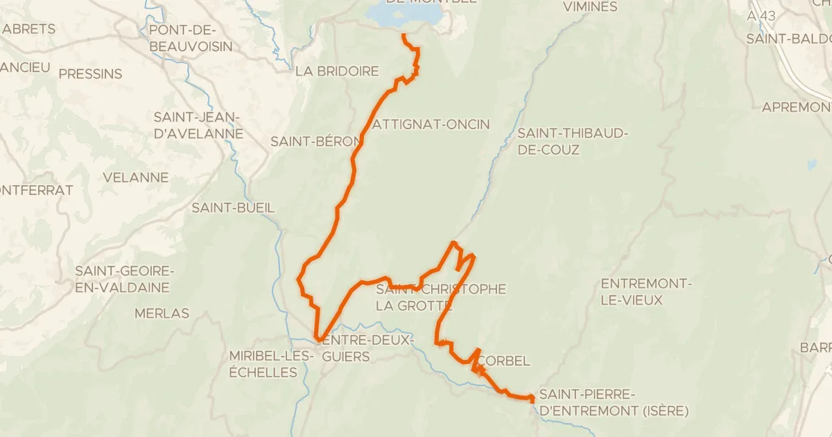
Road bike100% paved
P'tites Routes du Soleil, étape 7, Lépin-le-Lac / Saint-Pierre-d'Entremont
36 km↑ 1,164 m20 km away
Col des Égaux · Col de Couz
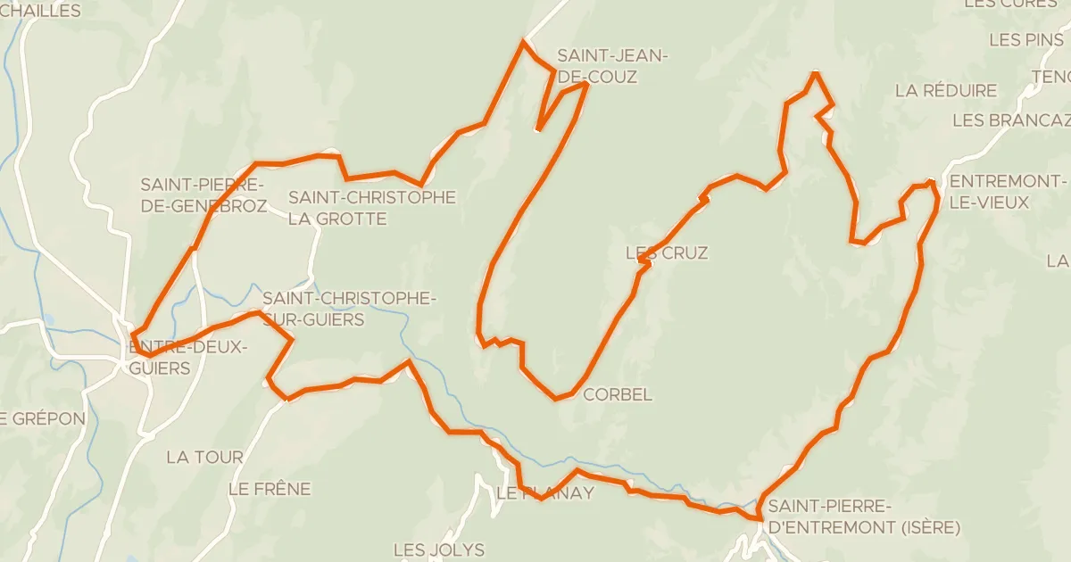
Road bike100% paved
Circuit des Entremonts
44 km↑ 1,680 m21 km away
Col des Égaux · Col de Couz
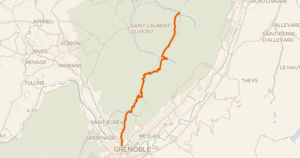
Road bike100% paved
P'tites Routes du Soleil, étape 8, Saint-Pierre-d'Entremont / Grenoble
41 km↑ 1,327 m22 km away
Col de Clémencières · Col de Palaquit

Road bike100% paved
Rondje Domaine des Croisettes en Forêt de Bonnevaux
75 km↑ 829 m24 km away

Road bike100% paved
Rondje Château de Boigne en La Leysse
80 km↑ 2,356 m26 km away