Back to the librarykm 2 · Jul 2022 · © slp_gho / Mapillary, CC BY-SA km 48 · Aug 2026 · © kalcaaro / Mapillary, CC BY-SA km 73 · Dec 2025 · © bernd1960 / Mapillary, CC BY-SA km 85 · Apr 2025 · © bernd1960 / Mapillary, CC BY-SA km 6–9km 16–20km 22–23km 35–35km 38–40km 45–46km 46–47km 59–61km 73–73
Road bikeMade by RouteCasterRound trip
Hills between Burglahr and Pracht
Distance
100 km
Ascent
1,539 m
Highest point
353 m
99% paved
Start from your location
Ride there from home: we find the shortest way to the loop and start the loop from there.
The ride
Roll out of Weyerbusch and straight into Naturpark Bergisches Land, then on through the Siegaue before Schloss Schönstein appears. Past the Wiedaue bei Borod you ride into Naturpark Rhein-Westerwald, with Burg Lahr near the end of the loop. It's 99.7 km with 1539 m of climbing, almost all on paved surface.
Along the way
Climbs
Climb 1Cat. 4
3.1 km at 3.1% · max 15.8%
Climb 2Cat. 4
3.8 km at 3.2% · max 12.6%
Climb 3Hill
1.7 km at 4.5% · max 16%
Climb 4Hill
0.6 km at 6.4% · max 10.6%
Climb 5Cat. 4
1.7 km at 5.9% · max 13.5%
Climb 6Hill
0.6 km at 4.3% · max 6.4%
Climb 7Hill
1.1 km at 5.7% · max 10.3%
Climb 8Cat. 4
1.9 km at 5% · max 11%
Climb 9Hill
0.7 km at 5.6% · max 10.8%
Routes nearby
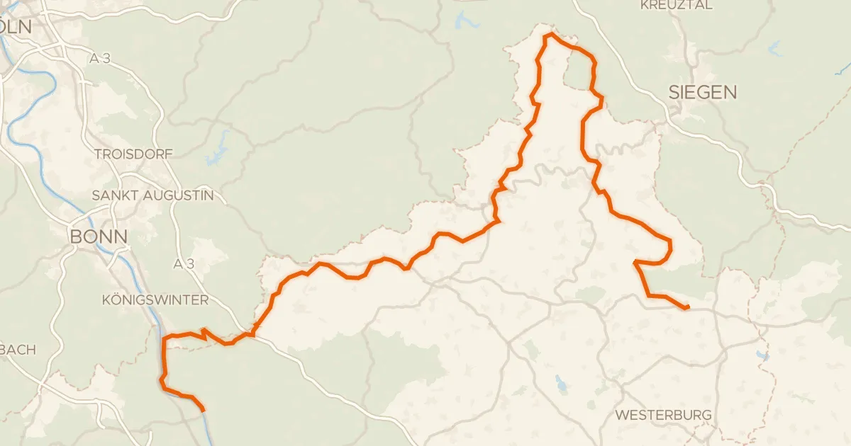
Touring94% paved
Westerwaldschleife
158 km↑ 2,543 m6 km away
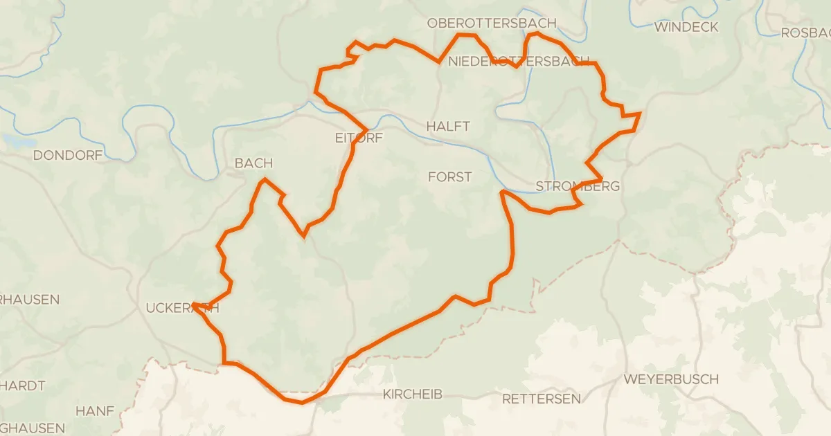
Gravel28% paved
Climbs along the Sieg
53 km↑ 1,193 m7 km away
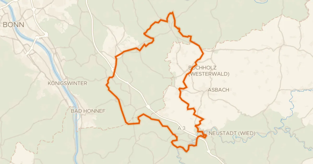
Gravel31% paved
Hilly ride via Ittenbach and Neustadt (Wied)
69 km↑ 1,221 m15 km away
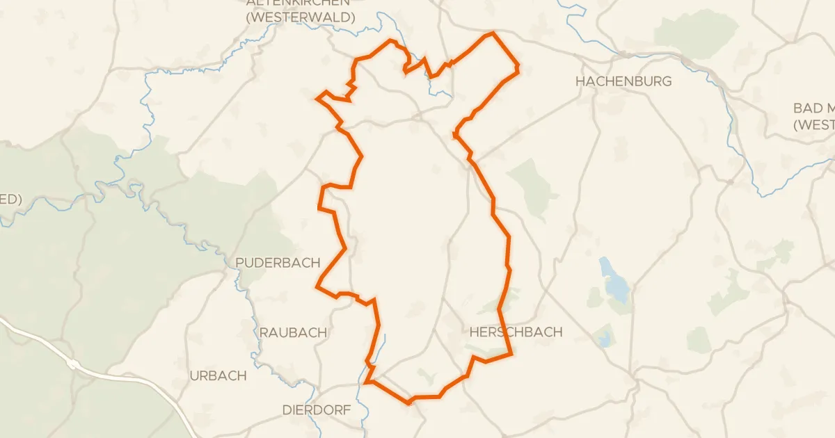
Gravel48% paved
Gravel loop along the Holzbach
58 km↑ 722 m16 km away
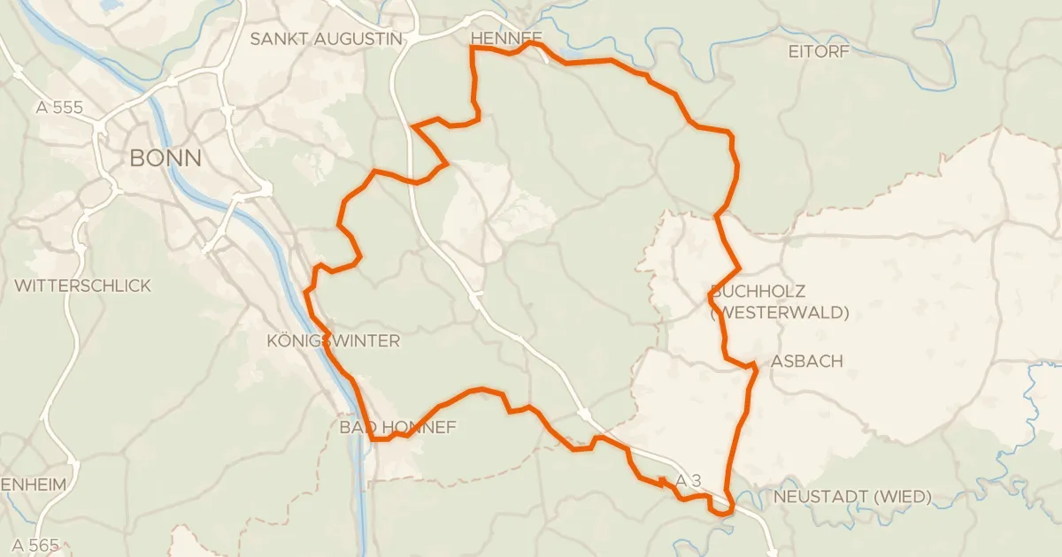
Road bike100% paved
Hills between Süchterscheid and Vinxel
74 km↑ 1,066 m18 km away
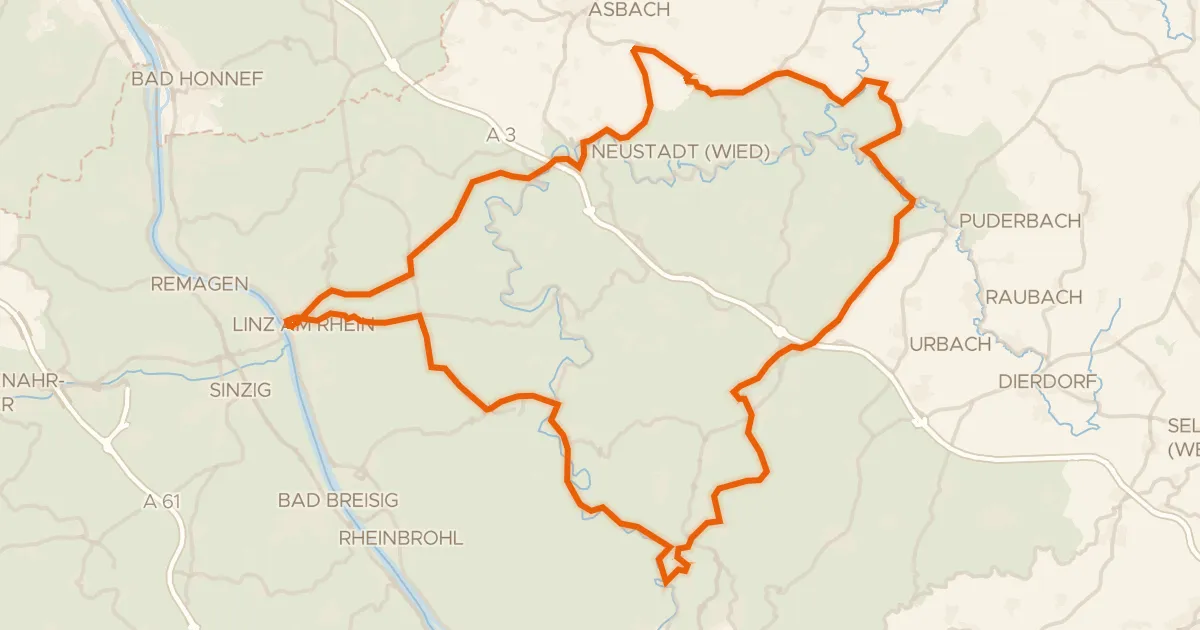
Road bike100% paved
Climbs between Burg Linz and Burg Altenwied
88 km↑ 1,585 m18 km away