Back to the librarykm 33 · Oct 2024 · © renaultgt / Mapillary, CC BY-SA km 46 · Sep 2019 · © endszbrxns / Mapillary, CC BY-SA km 1–2km 3–5km 5–7km 7–8km 52–53
GravelMade by RouteCasterRound trip
Hills along the Serio
Distance
59 km
Ascent
723 m
Highest point
565 m
51% paved
Start from your location
Ride there from home: we find the shortest way to the loop and start the loop from there.
The ride
Roll out of Sarnico and the route soon slips between the green of Parco Oglio Nord and Parco del Serio, with the Serio river running alongside. The gravel gives way to the castle at Malpaga, then it's on past the Cherio river toward the castles of Calepio and Trebecco. With 59.2 km and 723 m of climbing, the pedals keep turning before the road brings you home to Sarnico.
Along the way
Climbs
Climb 1Hill
1 km at 4.4% · max 11.7%
Climb 2Cat. 4
1.3 km at 9.2% · max 31.3%
Climb 3Cat. 3
1.8 km at 9.2% · max 23.3%
Climb 4Cat. 4
1.3 km at 7.7% · max 16.1%
Climb 5Hill
1.3 km at 3.6% · max 9.2%
Routes nearby

Road bike100% paved
Climbs between the rivers around Endine Gaiano
77 km↑ 1,602 m10 km away

Road bike100% paved
Waterside route between Rovato and Palazzolo sull'Oglio
74 km↑ 259 m14 km away

Road bike100% paved
Castles between Grassobbio and Telgate
69 km↑ 221 m16 km away
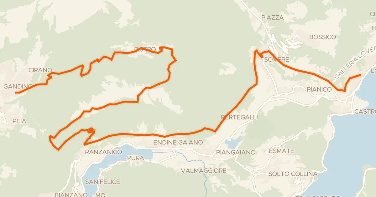
Gravel69% paved
Alta Via delle Grazie - Tappa 7
37 km↑ 1,733 m16 km away
Forcella di Ranzanico
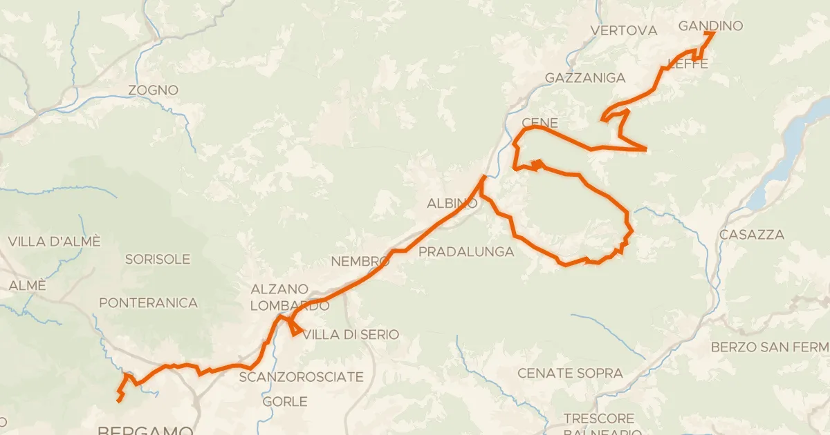
Touring80% paved
Alta Via delle Grazie - Tappa 8
52 km↑ 1,115 m17 km away
Colle Gallo

Road bike100% paved
Castles between Rovato and Bornato
74 km↑ 232 m17 km away