Back to the librarykm 2 · May 2025 · © borovac / Mapillary, CC BY-SA km 21 · May 2025 · © borovac / Mapillary, CC BY-SA km 56 · Sep 2025 · © renaultgt / Mapillary, CC BY-SA km 72 · May 2025 · © borovac / Mapillary, CC BY-SA km 35–48km 56–65
Road bikeMade by RouteCasterRound trip
Climbs between the rivers around Endine Gaiano
Distance
77 km
Ascent
1,602 m
Highest point
1,060 m
100% paved
Start from your location
Ride there from home: we find the shortest way to the loop and start the loop from there.
The ride
From Piangaiano you roll out toward the Fiume Cherio, then follow the shore of Lago di Endine before the road climbs past Castello Terzi, Castello Giovannelli and Castello Suardi. Rivers keep you company too, with the Torrente Tadone and the Serio on the way. It's 76.6 km with 1602 m of climbing, all on paved surface, and it brings you back to Piangaiano.
Along the way
Climbs
Passo di GandaCat. 1
12.6 km at 6% · max 44.2%
Forcellino di BianzanoCat. 3
8.7 km at 3.6% · max 15.4%
Routes nearby
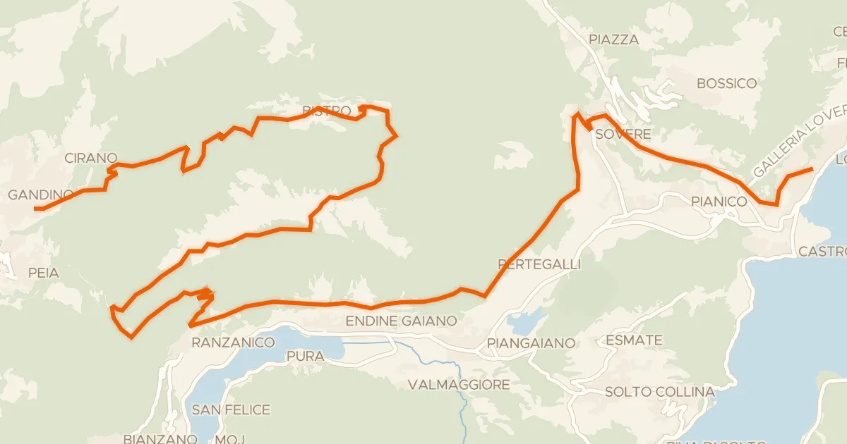
Gravel69% paved
Alta Via delle Grazie - Tappa 7
37 km↑ 1,733 m2 km away
Forcella di Ranzanico

Gravel47% paved
Climbs between the rivers of Clusone
60 km↑ 1,946 m7 km away
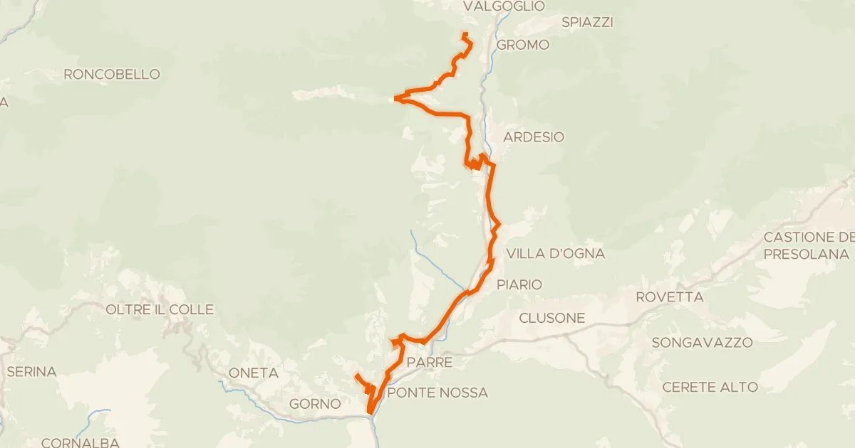
Touring74% paved
Alta Via delle Grazie - Tappa 3
27 km↑ 1,089 m16 km away
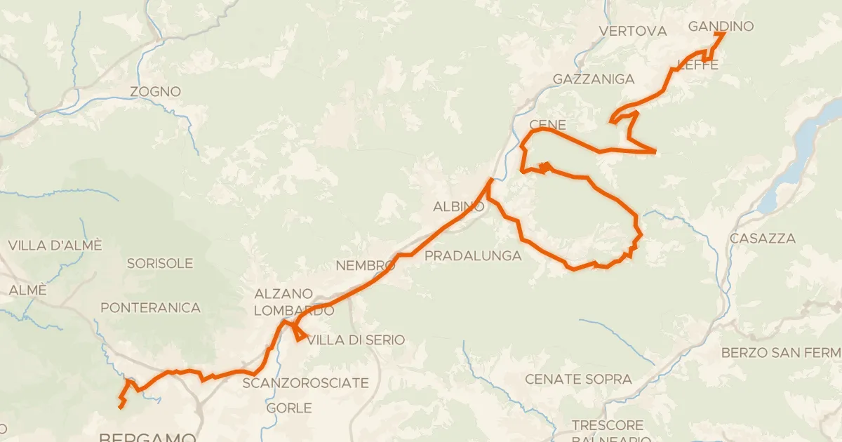
Touring80% paved
Alta Via delle Grazie - Tappa 8
52 km↑ 1,115 m17 km away
Colle Gallo

Gravel51% paved
Hills along the Serio
59 km↑ 723 m20 km away
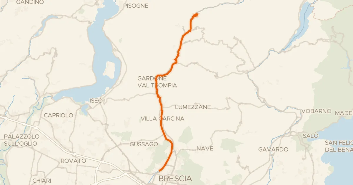
Gravel62% paved
Brescia - Bovegno (Slow Bike)
36 km↑ 739 m22 km away