Back to the librarykm 15–17km 17–18km 20–20km 21–24km 26–30km 33–34km 39–40km 41–42
GravelMade by RouteCasterRound trip
Gravel loop along the Fiume Osento
Distance
60 km
Ascent
1,116 m
Highest point
329 m
33% paved
Start from your location
Ride there from home: we find the shortest way to the loop and start the loop from there.
The ride
This ride starts and finishes at the parking area of the Lecceta di Torino di Sangro nature reserve, covering 59.9 km with 1116 m of climbing. You roll out and soon pass the Fiume Sangro, then the Fiume Osento, before looping back to the reserve. Most of the route is unpaved, so expect a mix of surfaces under your wheels as the elevation adds up. It's a loop that keeps the rivers and the reserve as its anchors.
Climbs
Climb 1Cat. 3
2.1 km at 9.3% · max 23.6%
Climb 2Hill
0.6 km at 4.7% · max 9.5%
Climb 3Hill
0.3 km at 10% · max 15.8%
Climb 4Cat. 4
2.9 km at 4% · max 11.3%
Climb 5Cat. 3
4.2 km at 5.5% · max 16.7%
Climb 6Hill
0.8 km at 9.2% · max 21.1%
Climb 7Hill
1.8 km at 3.9% · max 12.8%
Climb 8Cat. 4
1 km at 9.6% · max 23.3%
Routes nearby

Road bike96% paved
Rondje Palazzo Farnese en Fiume Sangro
87 km↑ 1,192 m9 km away

Road bike97% paved
Rondje Castello Ducale Bassi-D'Alanno en Fiume Sangro
96 km↑ 1,517 m14 km away

Gravel30% paved
Rondje Fiume Sangro en Fiume Osento
61 km↑ 1,585 m18 km away

Road bike100% paved
Langs de Fiume Sangro en de Fiume Aventino
77 km↑ 1,785 m24 km away

Road bike99% paved
Rondje Pescara en Alento
69 km↑ 1,368 m39 km away
Road bike97% paved
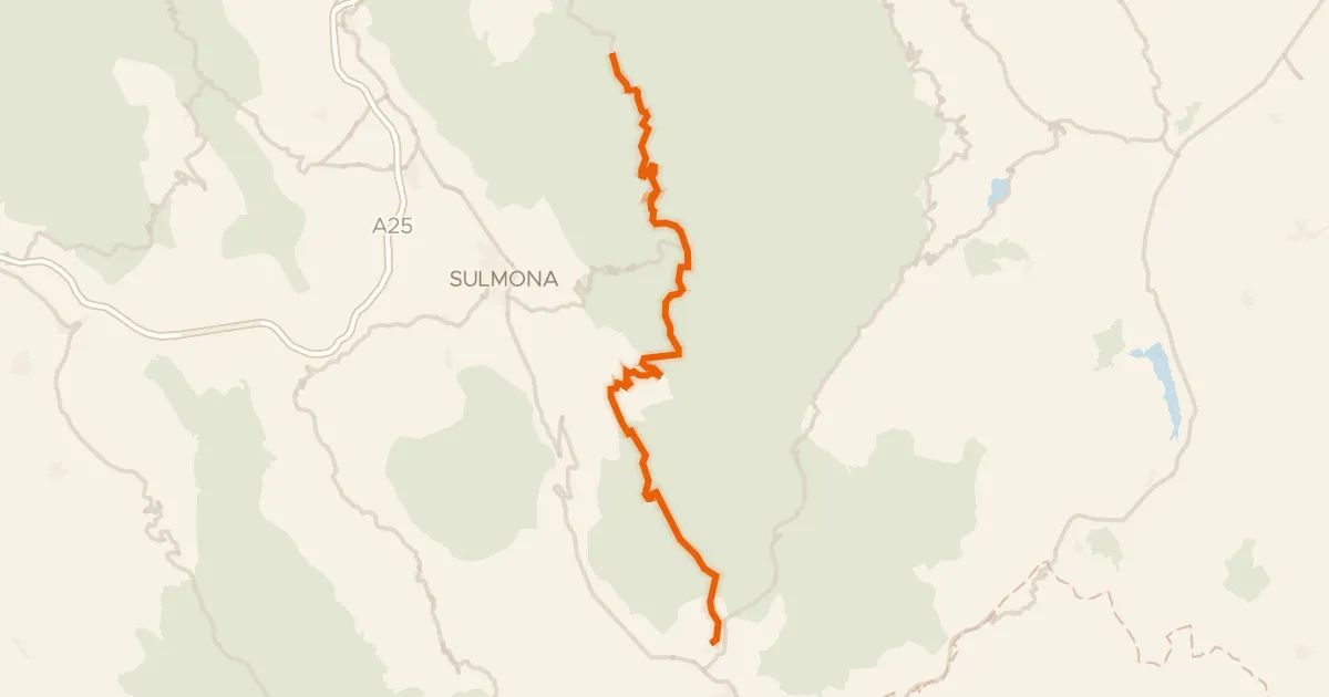
ABT Tappa 19: Caramanico Terme - Rivisondoli
55 km↑ 1,536 m48 km away
Passo San Leonardo