Back to the librarykm 0–3km 6–6km 8–8km 9–10km 10–12km 13–16km 24–26km 37–38km 39–42km 55–56
GravelMade by RouteCasterRound trip
Gravel along Le Doubs
Distance
63 km
Ascent
1,905 m
Highest point
1,226 m
26% paved
Start from your location
Ride there from home: we find the shortest way to the loop and start the loop from there.
The ride
From Tramelan you roll out toward the Doubs, with most of the route unpaved. The ride links three nature reserves — Parc du Doubs, Parc régional Chasseral and Parc naturel régional du Doubs Horloger — and follows the river Doubs along the way. Climbing adds up to 1905 m over 63.4 km, and near the end you pass the ruins of Spiegelberg castle before returning to Tramelan.
Climbs
Climb 1Cat. 3
3 km at 7.5% · max 22%
Climb 2Cat. 4
0.7 km at 19.2% · max 28.1%
Climb 3Hill
0.6 km at 4.2% · max 12.6%
Climb 4Hill
0.8 km at 5.5% · max 23.3%
Climb 5Cat. 4
1.8 km at 8% · max 12.4%
Climb 6Cat. 3
3 km at 10% · max 25.1%
Climb 7Cat. 4
1.6 km at 7.3% · max 13.7%
Climb 8Cat. 3
1.4 km at 13.7% · max 59.1%
Climb 9Cat. 2
3.1 km at 12% · max 53%
Climb 10Hill
1 km at 4.6% · max 7.8%
Routes nearby

Road bike100% paved
Climbs between Doubs and Sorne
70 km↑ 1,723 m9 km away
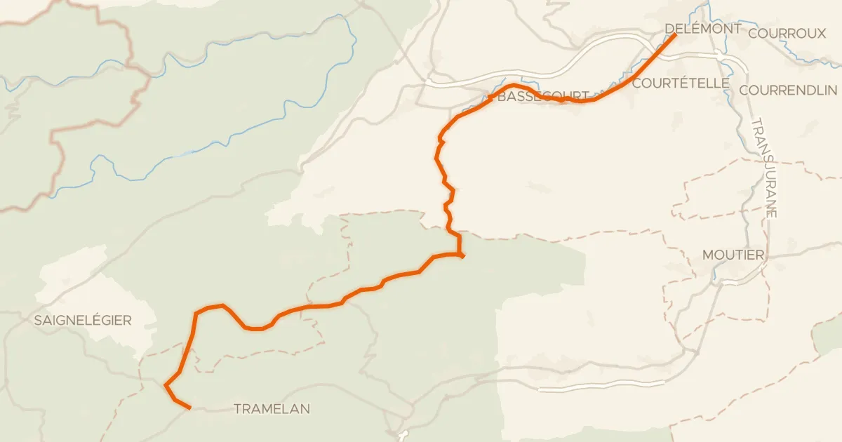
Road bike100% paved
Basel–Franches-Montagnes
36 km↑ 919 m11 km away
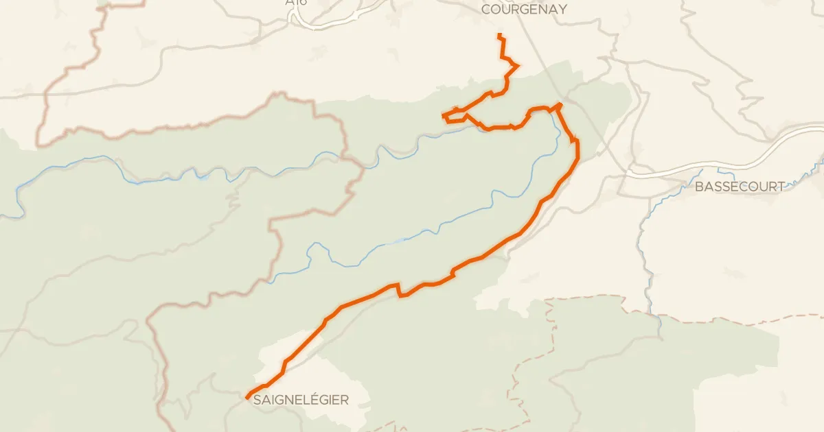
Touring91% paved
Route du Jura
36 km↑ 1,156 m11 km away
Col de la Croix

Gravel23% paved
Climbs through the Parc du Doubs
58 km↑ 1,860 m14 km away

Gravel19% paved
Gravel loop along the Allaine
59 km↑ 1,643 m21 km away
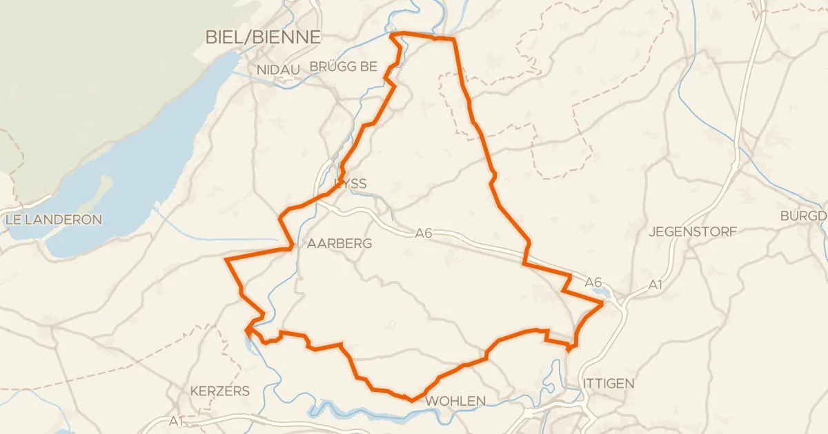
Road bike98% paved
Hills along the Lyssbach
74 km↑ 708 m27 km away