Back to the librarykm 2 · Oct 2022 · © kaitu / Mapillary, CC BY-SA km 35 · Oct 2021 · © cicooz / Mapillary, CC BY-SA km 41 · Mar 2025 · © c442ok / Mapillary, CC BY-SA km 6–7km 11–11km 57–64km 65–68
Road bikeMade by RouteCasterRound trip
Climbs between the rivers around Ghirla
Distance
73 km
Ascent
1,419 m
Highest point
817 m
100% paved
Start from your location
Ride there from home: we find the shortest way to the loop and start the loop from there.
The ride
From Ghirla, this 73.1 km loop rolls out past the Fiume Margorabbia and into the Parco regionale Campo dei Fiori nature reserve, with 1419 m of climbing along the way. Next up are the Rocca di Orino castle and the Fiume Bardello, before the route skirts the Riserva naturale Palude Brabbia. A manor and two more castles round things off as you head home to Ghirla.
Along the way
Climbs
Climb 1Hill
1 km at 3.5% · max 21.9%
Climb 2Hill
0.7 km at 4.2% · max 15.1%
Passo dell'Alpe TedescoCat. 2
7.2 km at 6.3% · max 23.5%
Climb 4Cat. 3
2.7 km at 10.7% · max 37.5%
Routes nearby
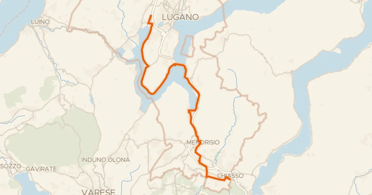
Touring94% paved
Percorso Nord-Sud
39 km↑ 449 m11 km away

Gravel26% paved
Hills between Castiglione Olona and Castronno
58 km↑ 634 m22 km away

Gravel56% paved
Climbs between the lakes of Torno
64 km↑ 2,411 m25 km away
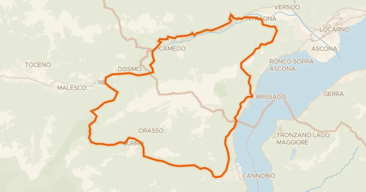
Gravel34% paved
Climb between Melezza and Melezzo orientale
72 km↑ 5,649 m26 km away

Road bike99% paved
Hills between Caslino al Piano and Cairate
91 km↑ 835 m26 km away

Gravel18% paved
Gravel ride along Lago d'Orta
57 km↑ 2,205 m30 km away