Back to the librarykm 0–6km 10–10km 11–11km 12–12km 13–14km 14–15km 23–23km 24–30km 32–32km 34–34km 35–36km 40–43km 47–48km 48–49km 49–50km 52–53km 54–55km 56–57km 57–58
GravelMade by RouteCasterRound trip
Climbs between Le Giffre and Le Foron
Distance
61 km
Ascent
3,683 m
Highest point
1,852 m
10% paved
Start from your location
Ride there from home: we find the shortest way to the loop and start the loop from there.
The ride
Roll out of Les Gets and let the ride unfold: first along the Le Giffre river, then the Le Foron, before the climb opens onto Lac de Roy. Of the 61.2 km, most runs unpaved, and the route piles up 3683 m of climbing along the way. Rivers, a lake and a lot of height — then back to where you started.
Climbs
Climb 1Cat. 2
5.8 km at 8.5% · max 25.9%
Climb 2Hill
0.4 km at 8.4% · max 17.1%
Climb 3Hill
0.3 km at 8.5% · max 18.4%
Climb 4Hill
0.2 km at 25% · max 29.2%
Climb 5Cat. 4
0.4 km at 28.1% · max 34.8%
Climb 6Hill
0.4 km at 18% · max 26.2%
Climb 7Hill
0.5 km at 9.1% · max 20.2%
Climb 8HC
6.3 km at 18.2% · max 44.9%
Climb 9Hill
0.8 km at 6.3% · max 14.6%
Climb 10Hill
0.6 km at 6.7% · max 13.9%
Col de VésinazCat. 3
1.1 km at 20.5% · max 40.9%
Col de GraydonCat. 2
2.7 km at 18.8% · max 48.8%
Climb 13Cat. 4
1 km at 11.8% · max 27.1%
Climb 14Hill
0.7 km at 5.7% · max 12.7%
Climb 15Cat. 4
1.2 km at 11.5% · max 24.3%
Climb 16Hill
0.4 km at 14.9% · max 25.6%
Climb 17Cat. 4
1.2 km at 12.5% · max 29.7%
Col de LachatHill
0.9 km at 7.1% · max 21.4%
Climb 19Hill
1.4 km at 4.8% · max 16.6%
Routes nearby
Road bike100% paved
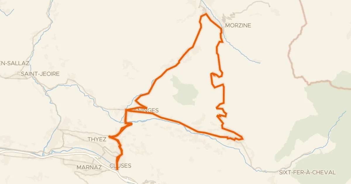
Circuit de Joux Plane
75 km↑ 2,123 m4 km away
Col de Joux Plane · Col des Gets
Road bike100% paved
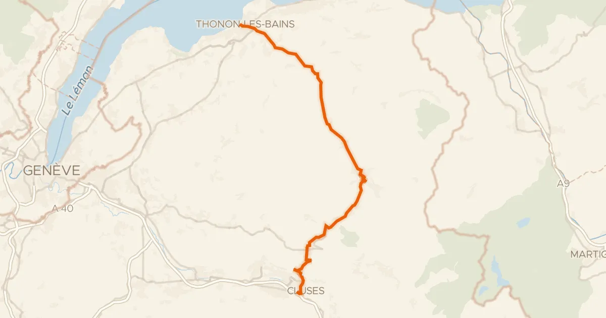
Route des Grandes Alpes à vélo, étape 1, Thonon-les-Bains / Cluses
59 km↑ 1,841 m9 km away
Col des Gets
Road bike100% paved
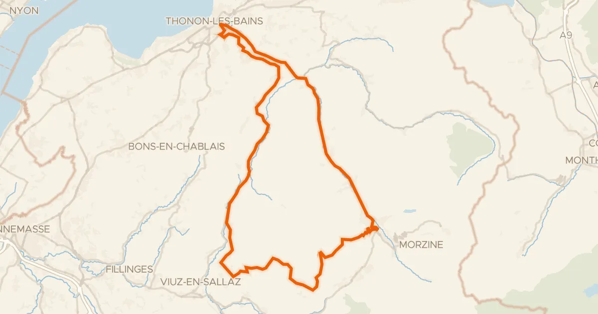
Tour du Roc d'Enfer
96 km↑ 3,013 m12 km away
Col de Jambaz · Col de la Ramaz

Gravel9% paved
Rondje Château du Bérouze en Le Giffre
42 km↑ 2,539 m13 km away

Road bike99% paved
Rondje Château de Blonay en La Dranse
78 km↑ 2,059 m19 km away
Road bike100% paved
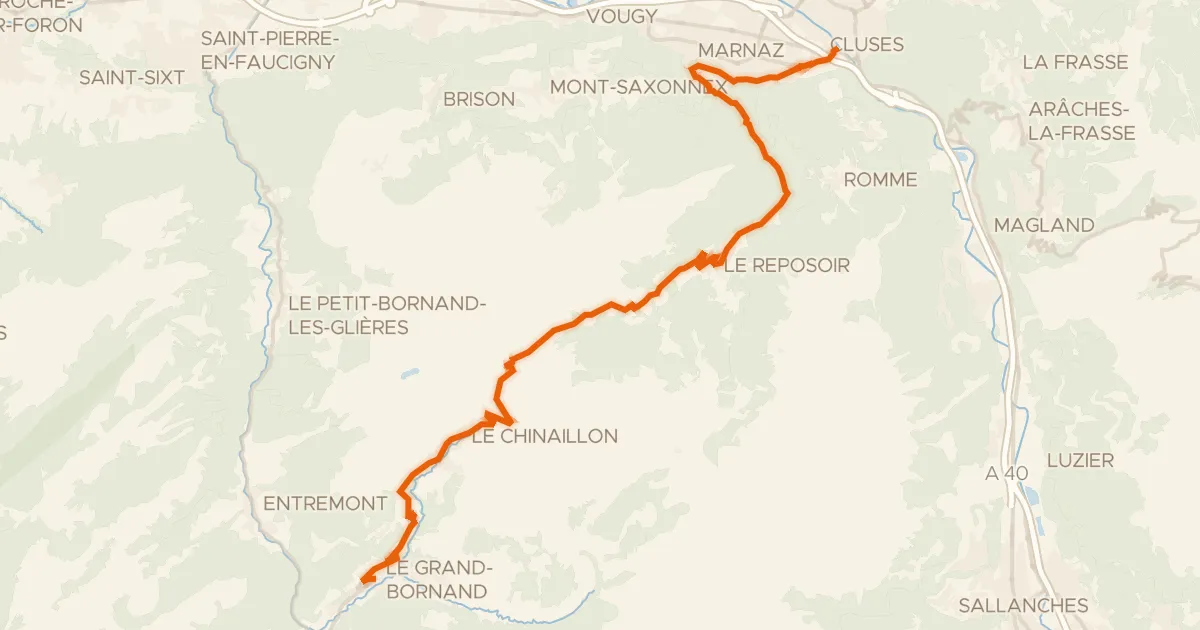
Route des Grandes Alpes à vélo, étape 2, Cluses / Le Grand-Bornand
30 km↑ 1,250 m21 km away
Col de la Colombière