Back to the librarykm 1–9km 11–12km 12–14km 14–20km 22–23km 25–26
GravelMade by RouteCasterRound trip
Rondje Château du Bérouze en Le Giffre
Distance
42 km
Ascent
2,539 m
Highest point
2,340 m
9% paved
Start from your location
Ride there from home: we find the shortest way to the loop and start the loop from there.
The ride
From Samoëns the route rolls out toward the Clévieux river, then follows the Giffre river before climbing past the Château du Bérouze manor. Of the 42.1 km, most run unpaved, and the day adds up to 2539 m of elevation gain. The ride loops back to Samoëns to close out the circuit.
Climbs
Climb 1HC
7.5 km at 11.8% · max 41.7%
Climb 2Cat. 4
1.2 km at 8.4% · max 23.7%
Climb 3Hill
1.8 km at 4.1% · max 12.9%
Climb 4HC
5.3 km at 15.8% · max 36.9%
Climb 5Cat. 3
1.6 km at 17.8% · max 36.1%
Climb 6Cat. 4
1 km at 13.8% · max 31%
Routes nearby
Road bike100% paved
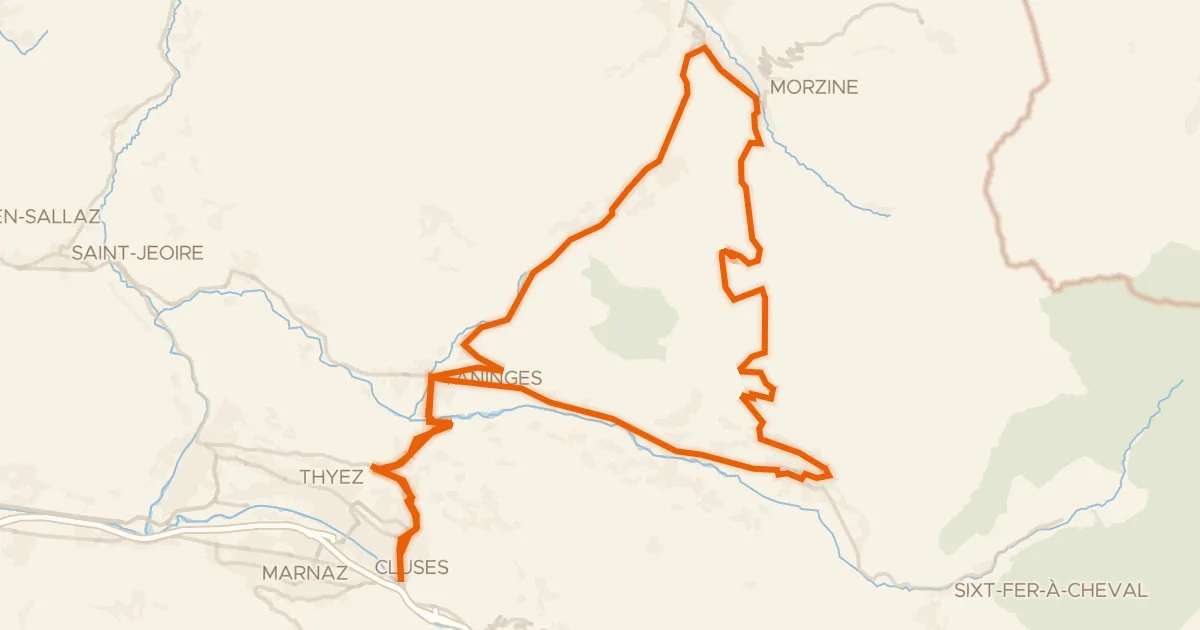
Circuit de Joux Plane
75 km↑ 2,123 m7 km away
Col de Joux Plane · Col des Gets

Gravel10% paved
Rondje Lac de Roy en Le Foron
61 km↑ 3,683 m12 km away
Road bike100% paved
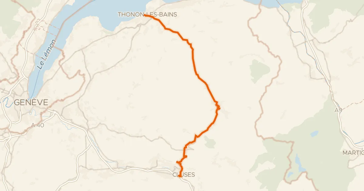
Route des Grandes Alpes à vélo, étape 1, Thonon-les-Bains / Cluses
59 km↑ 1,841 m18 km away
Col des Gets
Road bike100% paved
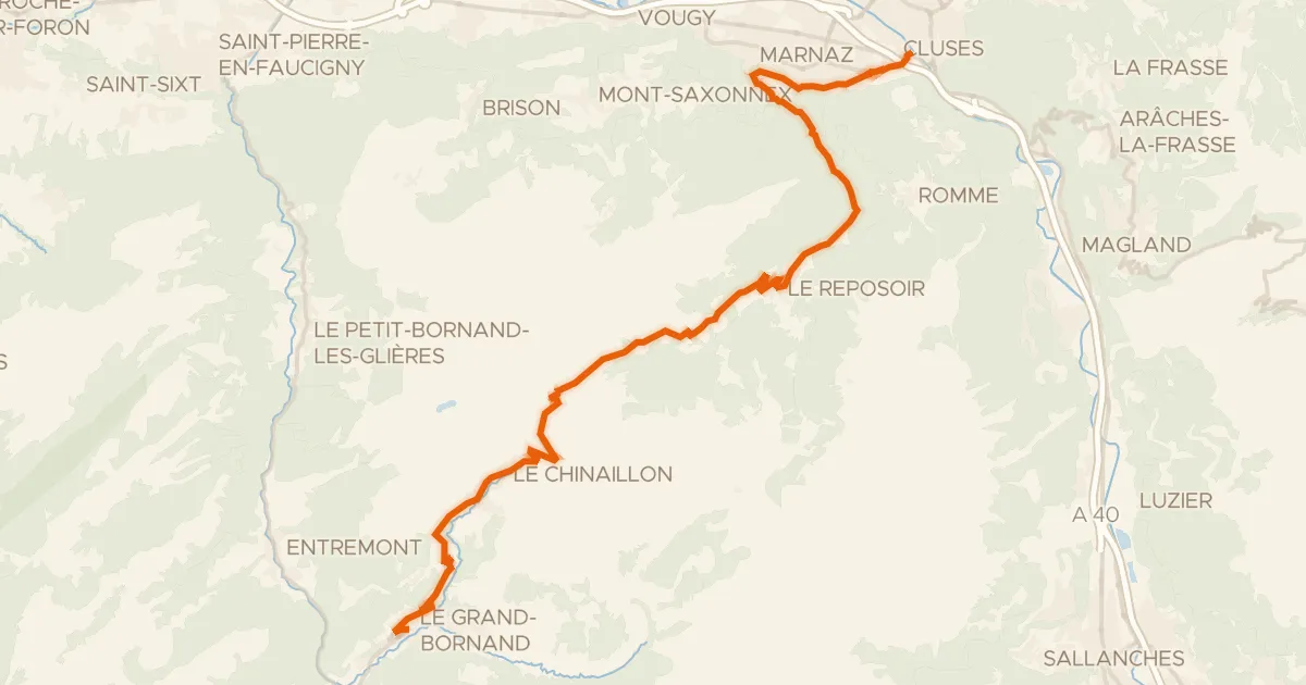
Route des Grandes Alpes à vélo, étape 2, Cluses / Le Grand-Bornand
30 km↑ 1,250 m20 km away
Col de la Colombière
Road bike100% paved
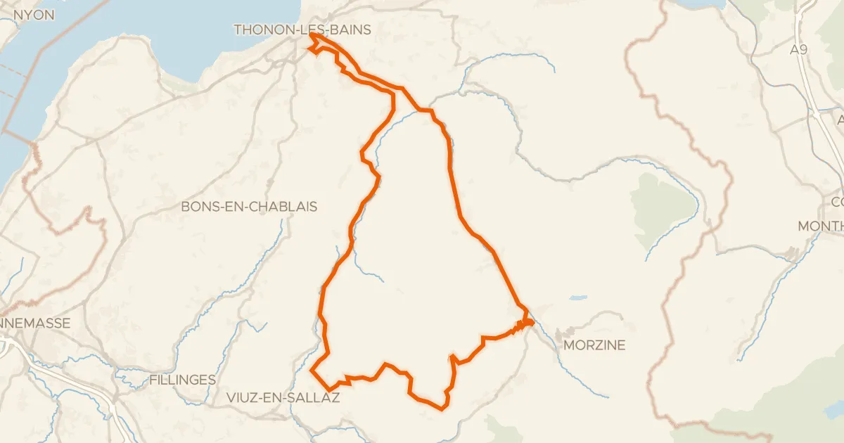
Tour du Roc d'Enfer
96 km↑ 3,013 m22 km away
Col de Jambaz · Col de la Ramaz

Road bike100% paved
Rondje Château d'Arcine en L'Arve
75 km↑ 1,657 m24 km away