Back to the librarykm 6–12km 17–18km 18–21km 23–24km 26–28km 35–44km 46–52km 63–65km 66–70
Road bikeMade by RouteCasterRound trip
Climbs between Civitacampomarano and Guardialfiera
Distance
73 km
Ascent
2,067 m
Highest point
838 m
100% paved
Start from your location
Ride there from home: we find the shortest way to the loop and start the loop from there.
The ride
Roll out of Petrella Tifernina and let the ride take you past the Biferno river, on toward the Castello Angioino castle and the shores of Lago di Guardialfiera lake before looping back to where you started. It's 73.1 km of paved road the whole way, with 2067 m of climbing to keep the legs honest. The order is simple: river, castle, lake, home. Climb, roll, repeat.
Climbs
Climb 1Cat. 2
6 km at 6% · max 27.4%
Climb 2Cat. 3
1.3 km at 12.6% · max 30.4%
Climb 3Cat. 4
2.9 km at 4.8% · max 20%
Climb 4Hill
0.6 km at 5.1% · max 11.8%
Climb 5Hill
2.5 km at 3.2% · max 11.7%
Climb 6Cat. 2
8.7 km at 6.1% · max 38.1%
Valico di Cerro SeccoCat. 3
5.9 km at 4.3% · max 10.4%
Climb 8Cat. 3
2.3 km at 7.8% · max 22.1%
Climb 9Cat. 3
4.7 km at 5.4% · max 23.8%
Routes nearby

Gravel34% paved
Langs de Biferno en het Lago di Guardialfiera
58 km↑ 2,149 m10 km away

Gravel16% paved
Rondje Palazzo Ducale dei Gambacorta en Lago di Occhito
61 km↑ 1,779 m17 km away

Road bike100% paved
Rondje Lago di Occhito en Fiume Fortore
81 km↑ 1,808 m30 km away

Gravel15% paved
Langs de Biferno en Parco Nazionale del Matese
63 km↑ 2,406 m32 km away
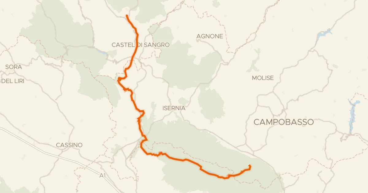
Road bike100% paved
ABT Tappa 20: Rivisondoli - Guardiaregia
126 km↑ 2,409 m34 km away
Sella del Perrone

Road bike100% paved
Rondje Parco Nazionale del Matese en Tammaro
74 km↑ 1,672 m40 km away