Back to the librarykm 7–8km 9–10km 11–11km 12–12km 13–14km 15–17km 21–21km 22–24km 26–26km 27–28km 30–31km 33–35km 55–56km 56–57
GravelMade by RouteCasterRound trip
Climbs between Allersburg and Berghausen
Distance
62 km
Ascent
1,215 m
Highest point
582 m
17% paved
Start from your location
Ride there from home: we find the shortest way to the loop and start the loop from there.
The ride
Roll out of Hohenburg and straight into Naturpark Hirschwald, a nature reserve that sets the tone early. The route then follows the Lauterach river before climbing to Schweppermannsburg castle. With 62.1 km and 1215 m of elevation gain, most of it rolls over unpaved ground, and the loop brings you back to Hohenburg.
Climbs
Climb 1Hill
0.9 km at 3.2% · max 10.9%
Climb 2Hill
1 km at 5.6% · max 12.3%
Climb 3Hill
0.4 km at 9.9% · max 17.6%
Climb 4Hill
0.8 km at 8.9% · max 26.9%
Climb 5Hill
1.1 km at 5.9% · max 13.2%
Climb 6Hill
2.1 km at 3.5% · max 9.8%
Climb 7Hill
0.7 km at 7.3% · max 17%
Climb 8Cat. 4
1.6 km at 5.9% · max 15.3%
Climb 9Hill
0.3 km at 13.6% · max 16.1%
Climb 10Hill
1.1 km at 3.4% · max 7.9%
Climb 11Cat. 4
1.1 km at 9% · max 15.1%
Climb 12Cat. 4
1.1 km at 7.9% · max 11.1%
Climb 13Hill
0.8 km at 3.2% · max 7.2%
Climb 14Hill
0.5 km at 5.5% · max 10.3%
Routes nearby
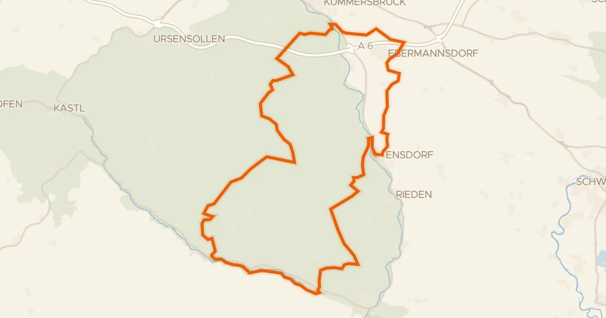
Gravel20% paved
Gravel between Vils and Lauterach
62 km↑ 961 m8 km away
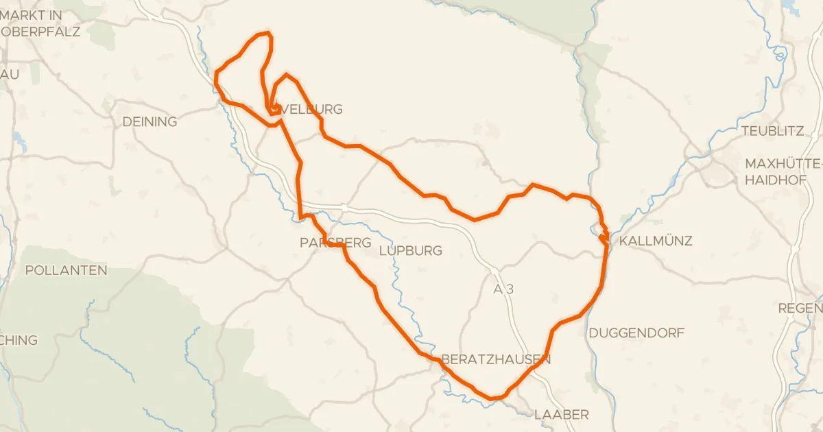
Road bike98% paved
Castles between Parsberg and Velburg
87 km↑ 1,142 m13 km away
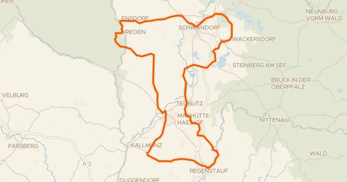
Road bike100% paved
Hills between Burglengenfeld and Schwandorf
99 km↑ 978 m20 km away
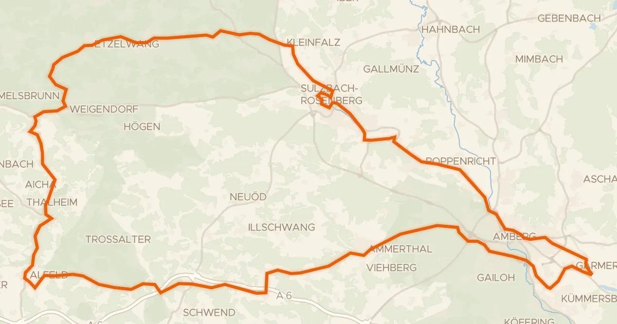
Road bike99% paved
Castles between Sulzbach and Etzelwang
83 km↑ 906 m21 km away
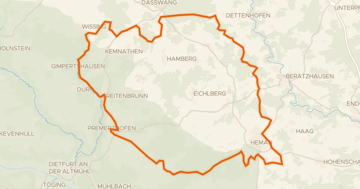
Gravel18% paved
Waterside between Wissinger Laber and Breitenbrunner Laber
63 km↑ 779 m25 km away
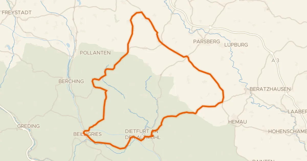
Road bike100% paved
Rolling through the Altmühltal
74 km↑ 713 m25 km away