Back to the librarykm 67 · Oct 2021 · © plonma1 / Mapillary, CC BY-SA km 0–4km 15–18km 41–42
Road bikeMade by RouteCasterRound trip
Rolling through the Altmühltal
Distance
74 km
Ascent
713 m
Highest point
595 m
100% paved
Start from your location
Ride there from home: we find the shortest way to the loop and start the loop from there.
The ride
Roll out of Beilngries and let the ride unfold: past the Sulz river, then into the Naturpark Altmühltal nature reserve. Next up are the Wolfsberg bei Dietfurt nature reserve and the castle Schloß Töging, before the Arzberg bei Beilngries nature reserve brings you home. It's 74.4 km, all paved, with 713 m of climbing along the way.
Along the way
Climbs
Climb 1Cat. 4
4.3 km at 3.1% · max 14.5%
Climb 2Cat. 4
2.7 km at 3.8% · max 17%
Climb 3Hill
1 km at 3.7% · max 5.6%
Routes nearby
Gravel19% paved
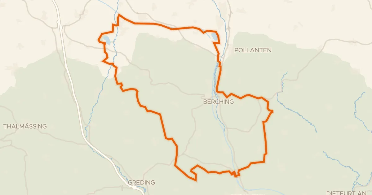
Waterside route between Sulz and Schwarzach
62 km↑ 548 m10 km away
Gravel67% paved
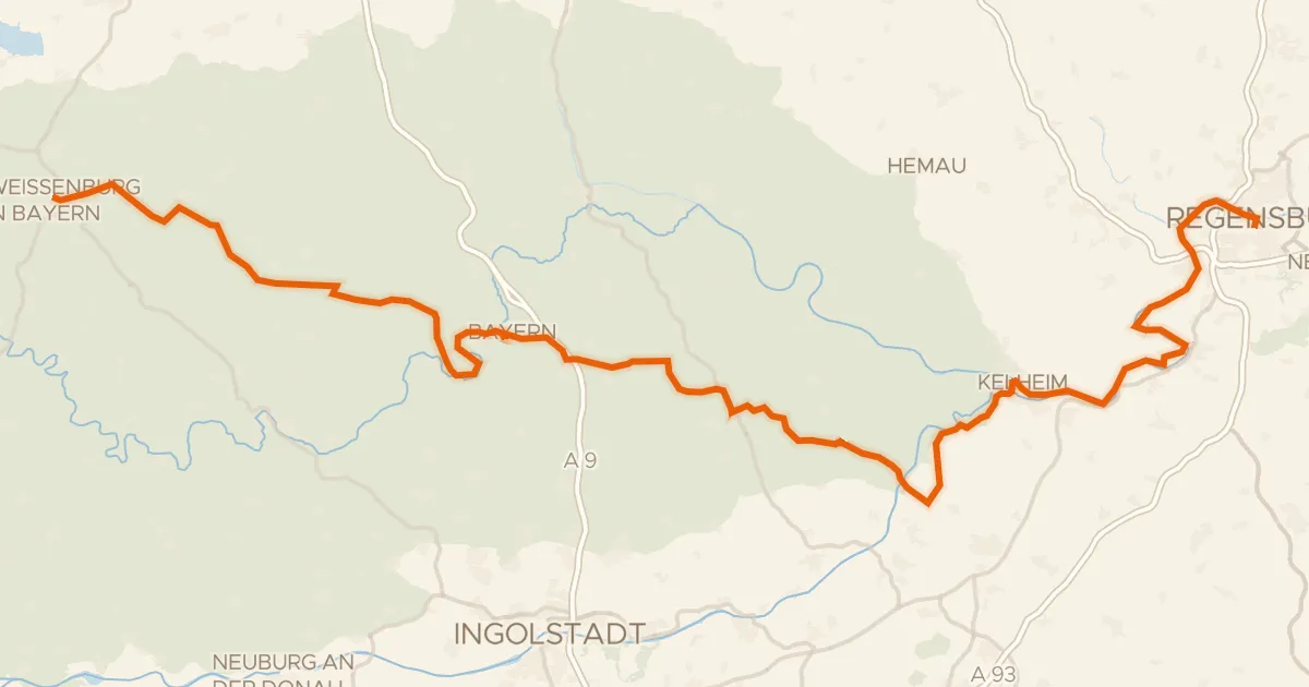
Deutscher Limes-Radweg 6. Abschnitt Weißenburg - Regensburg
145 km↑ 1,399 m11 km away
Road bike100% paved
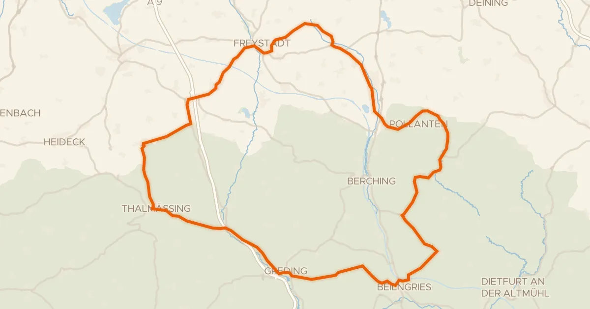
Hills between Stauf and Hirschberg
80 km↑ 777 m13 km away
Gravel10% paved
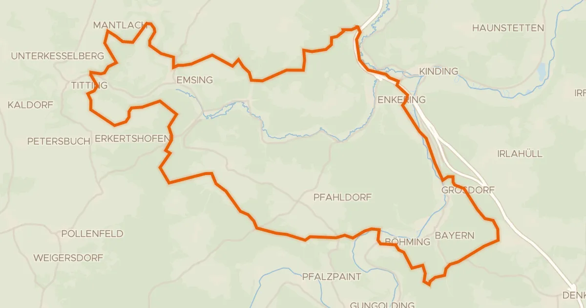
Waterside ride between Ilbling and Böhming
58 km↑ 1,074 m13 km away
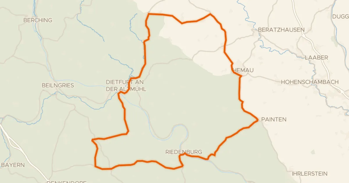
Road bike100% paved
Hills between Rabenstein and Rosenburg
76 km↑ 900 m15 km away
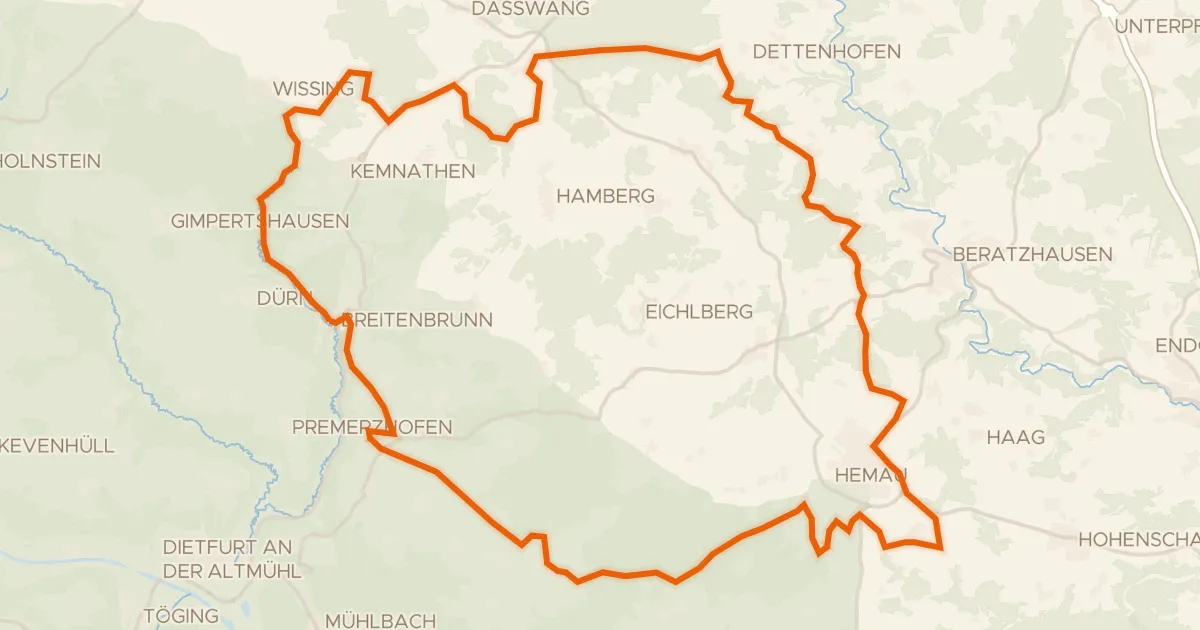
Gravel18% paved
Waterside between Wissinger Laber and Breitenbrunner Laber
63 km↑ 779 m18 km away