Back to the librarykm 1–2km 2–5km 9–13km 22–23km 24–25km 26–32km 33–34km 36–37km 52–55km 57–57
GravelMade by RouteCasterRound trip
Climb through Lammeröfen
Distance
57 km
Ascent
2,609 m
Highest point
1,364 m
37% paved
Start from your location
Ride there from home: we find the shortest way to the loop and start the loop from there.
The ride
This ride sets off from Parkeerplaats Lammeröfen and heads out past the Lammeröfen nature reserve before following the Lammer river onward. The Aubach river comes next, and from there the loop turns for home. Along the way you'll take on 2609 m of climbing across 57.4 km, with the route split between paved and unpaved surfaces. Back at the start, you'll have seen the reserve and both rivers up close.
Climbs
Climb 1Hill
0.9 km at 3.3% · max 20.1%
Climb 2Cat. 2
3.6 km at 13.8% · max 33.9%
Climb 3Cat. 2
4.2 km at 14% · max 40.6%
Climb 4Cat. 4
1.6 km at 9.7% · max 24%
Climb 5Hill
0.9 km at 3.4% · max 13.7%
Climb 6Cat. 2
5.9 km at 9.1% · max 38.5%
Climb 7Cat. 4
1.4 km at 8% · max 16.2%
LienbachsattelCat. 4
1 km at 12.9% · max 41.8%
Climb 9Cat. 3
3.3 km at 6.6% · max 30.5%
Climb 10Hill
0.2 km at 13.9% · max 15.7%
Routes nearby
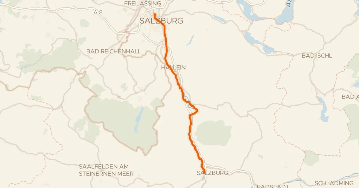
Touring82% paved
Alpe Adria Radweg Etappe 1
56 km↑ 665 m11 km away
Pass Lueg
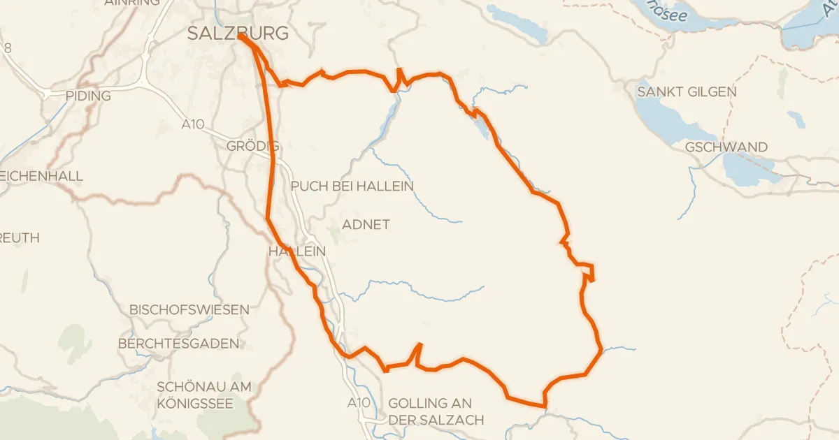
Touring73% paved
Graveltour Salzburg - Genneralm
92 km↑ 2,077 m13 km away

Gravel33% paved
Lakes along the Taugl
59 km↑ 1,915 m18 km away

Gravel37% paved
Waterside between Almbach and Salzach
58 km↑ 2,350 m19 km away
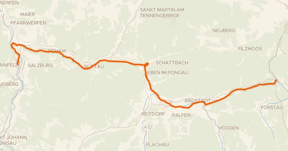
Touring75% paved
Waters of Central Europe Route – [AT]_2 – (Bischofshofen - Mandling)
38 km↑ 731 m22 km away
Talpass Eben (Wasserscheide Salzach/Enns)

Gravel25% paved
Waterside loop via the Traun and Koppentraun
78 km↑ 3,010 m28 km away