Back to the librarykm 0–6km 7–14km 20–21km 25–26km 32–36km 36–40km 41–48km 48–49
GravelMade by RouteCasterRound trip
Climb through Campoli Appennino
Distance
54 km
Ascent
2,655 m
Highest point
1,849 m
27% paved
Start from your location
Ride there from home: we find the shortest way to the loop and start the loop from there.
The ride
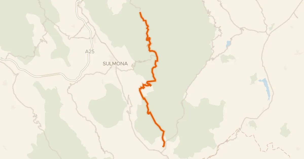
This ride rolls out of Villavallelonga and heads into the Parco Nazionale d'Abruzzo, Lazio e Molise, a nature reserve where the climbing begins in earnest. With 2655 m of elevation gain across 54.2 km, the route keeps you honest, and most of it runs unpaved. Along the way you pass the Liri, a river that accompanies you before the road turns back toward the start. You finish where you began, in Villavallelonga.
Climbs
Climb 1Cat. 3
5.7 km at 4% · max 18.4%
Valico Schiena d'AsinoCat. 2
6.8 km at 8.7% · max 36.4%
Climb 3Hill
1 km at 3.2% · max 9.5%
Climb 4Hill
1 km at 6.1% · max 20.1%
Climb 5Cat. 4
3.5 km at 3.8% · max 12.5%
Climb 6Cat. 3
3.8 km at 7.2% · max 20.8%
Climb 7HC
7.1 km at 17.6% · max 45.6%
Climb 8Hill
0.5 km at 5.1% · max 18.3%
Routes nearby

Gravel15% paved
Climbs around Lago di Scanno
59 km↑ 2,886 m19 km away

Gravel41% paved
Waterside between Liri and Fibreno
65 km↑ 2,592 m20 km away

Road bike100% paved
Castles between Scurcola Marsicana and Tagliacozzo
71 km↑ 1,312 m30 km away

Gravel4% paved
Climb between Trevi nel Lazio and the Aniene
71 km↑ 2,755 m30 km away

Road bike100% paved
Castles along the Liri
93 km↑ 1,674 m35 km away
Road bike97% paved
ABT Tappa 19: Caramanico Terme - Rivisondoli
55 km↑ 1,536 m38 km away
Passo San Leonardo