Back to the librarykm 0–0km 1–4km 4–8km 18–18km 20–27km 29–30km 31–37km 40–40km 41–44km 45–46km 53–53km 54–55km 58–59
GravelMade by RouteCasterRound trip
Climbs around Lago di Scanno
Distance
59 km
Ascent
2,886 m
Highest point
1,878 m
15% paved
Start from your location
Ride there from home: we find the shortest way to the loop and start the loop from there.
The ride
From Scanno the road climbs past the castle of Palazzo Di Rienzo and into the Monte Genzana nature reserve, with 2886 m of elevation gain ahead. The route follows the Sagittario river, skirts Lago di Scanno and enters the Parco Nazionale d'Abruzzo, Lazio e Molise nature reserve. Unpaved riding dominates, so expect a mixed surface under your wheels. Then it's back to Scanno where the loop began.
Climbs
Climb 1Hill
0.3 km at 11.9% · max 13.7%
Climb 2Cat. 3
3 km at 8.7% · max 31.9%
Climb 3Cat. 2
3.6 km at 17% · max 31.4%
Climb 4Hill
0.4 km at 8.1% · max 15.8%
Climb 5Cat. 1
6.5 km at 9.9% · max 42.7%
Climb 6Cat. 4
1.5 km at 10.5% · max 37.6%
Climb 7Cat. 2
6 km at 7.2% · max 22.5%
Climb 8Hill
0.3 km at 12.2% · max 16.8%
Climb 9Cat. 3
3.2 km at 7.7% · max 17.4%
Climb 10Hill
0.5 km at 6.9% · max 8.7%
Climb 11Cat. 4
0.7 km at 13% · max 28.4%
Climb 12Hill
1 km at 8% · max 31.8%
Climb 13Hill
1.5 km at 3.3% · max 10.6%
Routes nearby
Road bike97% paved
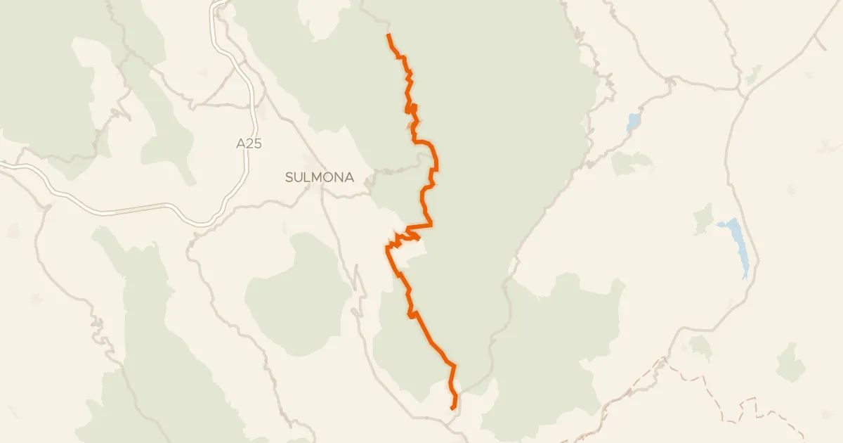
ABT Tappa 19: Caramanico Terme - Rivisondoli
55 km↑ 1,536 m18 km away
Passo San Leonardo

Gravel27% paved
Rondje Parco Nazionale d'Abruzzo, Lazio e Molise en Liri
54 km↑ 2,655 m21 km away

Gravel41% paved
Rondje Liri en Fibreno
65 km↑ 2,592 m38 km away

Road bike100% paved
Rondje Rocca Janula en de Liri
93 km↑ 1,674 m41 km away

Road bike100% paved
Langs de Fiume Sangro en de Fiume Aventino
77 km↑ 1,785 m42 km away
Road bike100% paved
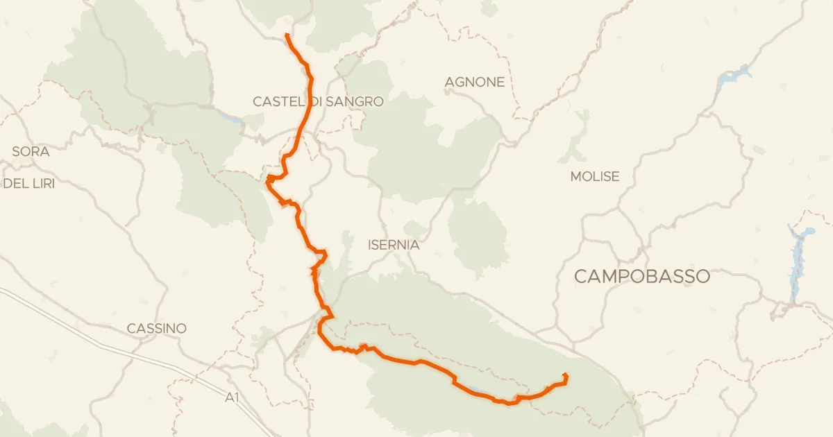
ABT Tappa 20: Rivisondoli - Guardiaregia
126 km↑ 2,409 m45 km away
Sella del Perrone