Back to the librarykm 2 · Aug 2026 · © igorzo / Mapillary, CC BY-SA km 38 · Jul 2019 · © igorzo / Mapillary, CC BY-SA km 60 · Jun 2024 · © igorzo / Mapillary, CC BY-SA km 78 · Oct 2026 · © igorzo / Mapillary, CC BY-SA km 1–2km 3–3km 11–18km 26–31km 43–44km 83–84km 85–86
Road bikeMade by RouteCasterRound trip
Climb between the castles of Venzone
Distance
87 km
Ascent
1,966 m
Highest point
1,119 m
100% paved
Start from your location
Ride there from home: we find the shortest way to the loop and start the loop from there.
The ride
From Moggio Udinese you roll out on a fully paved loop of 86.8 km, climbing 1966 m along the way. The route first skirts the Prealpi Giulie nature reserve, then follows the Torrente Torre before three castles come in a row: Prampero, Savorgnan and Gemona. Past the Lago Minisini e Rivoli Bianchi nature reserve and the Tagliamento river, Forte di Monte Ercole marks the run back to the start.
Along the way
Climbs
Climb 1Hill
1 km at 5.7% · max 27.5%
Climb 2Hill
0.5 km at 13.2% · max 21.5%
Sella CarnizzaCat. 1
6.9 km at 10.9% · max 52.6%
Passo TanameaCat. 3
4.9 km at 5.2% · max 21.2%
Climb 5Hill
1 km at 4.1% · max 12.7%
Climb 6Hill
0.8 km at 3.5% · max 15.6%
Climb 7Cat. 4
1.5 km at 5.8% · max 17.2%
Routes nearby
Touring91% paved
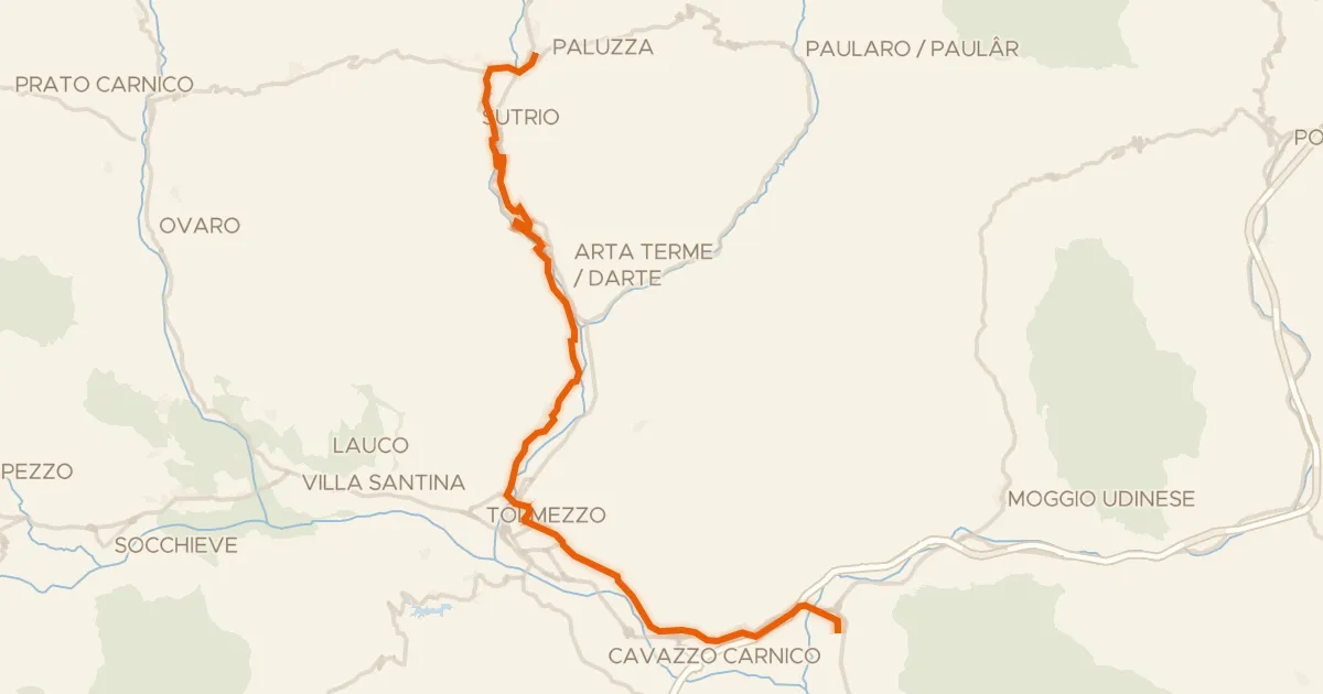
FVG8 - Ciclovia della Carnia
34 km↑ 253 m11 km away
Road bike99% paved
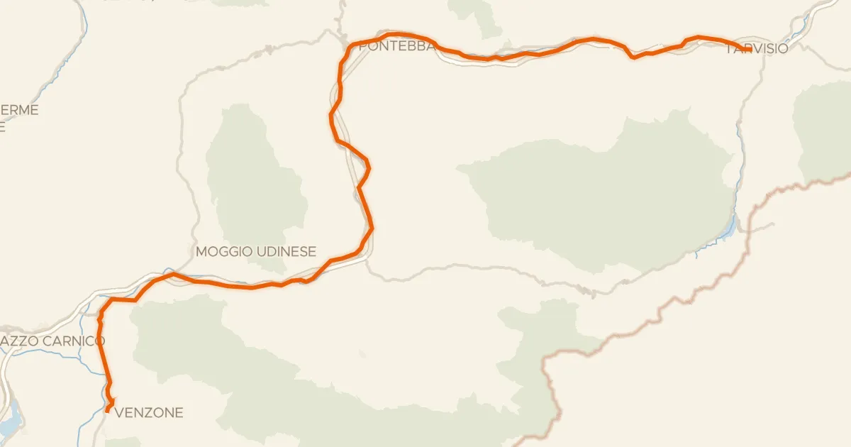
Alpe Adria Radweg Etappe 6
57 km↑ 559 m13 km away
Sella di Camporosso

Gravel23% paved
Rondje Torrente Bût
60 km↑ 4,070 m20 km away

Road bike100% paved
Waterside loop around Majano and Tarcento
76 km↑ 375 m30 km away

Road bike100% paved
Along the Torrente Torre to Tarcento
71 km↑ 337 m31 km away

Gravel20% paved
Gravel between the rivers around Clauzetto
62 km↑ 2,659 m34 km away