Back to the librarykm 18 · Sep 2018 · © trigpoint / Mapillary, CC BY-SA km 27 · May 2021 · © yipsteen / Mapillary, CC BY-SA km 55 · Mar 2026 · © Maximilien / Mapillary, CC BY-SA km 58 · Mar 2026 · © Maximilien / Mapillary, CC BY-SA km 1–19km 34–44km 55–58
Road bikeMade by RouteCasterRound trip
Climb between Saint-Cergue and Burtigny
Distance
76 km
Ascent
1,594 m
Highest point
1,449 m
99% paved
Start from your location
Ride there from home: we find the shortest way to the loop and start the loop from there.
The ride
Roll out of Nyon and let the ride unfold: first past the castle, then along the lake before the road climbs into the Jura vaudois nature reserve. On you go into the Haut-Jura nature reserve, then back down beside the Orbe river. With 1594 m of climbing across 75.8 km, it's a loop that keeps giving, and it ends right where it began in Nyon.
Along the way
Climbs
Col de la GivrineHC
18 km at 4.8% · max 32.8%
Col du MarchairuzCat. 2
9.6 km at 4.3% · max 18%
Climb 3Cat. 4
3.6 km at 4.4% · max 16.7%
Routes nearby

Gravel20% paved
Climbs through Forêt du Risoux
61 km↑ 2,505 m15 km away

Gravel28% paved
Along La Menoge and Le Brévon
58 km↑ 1,888 m17 km away
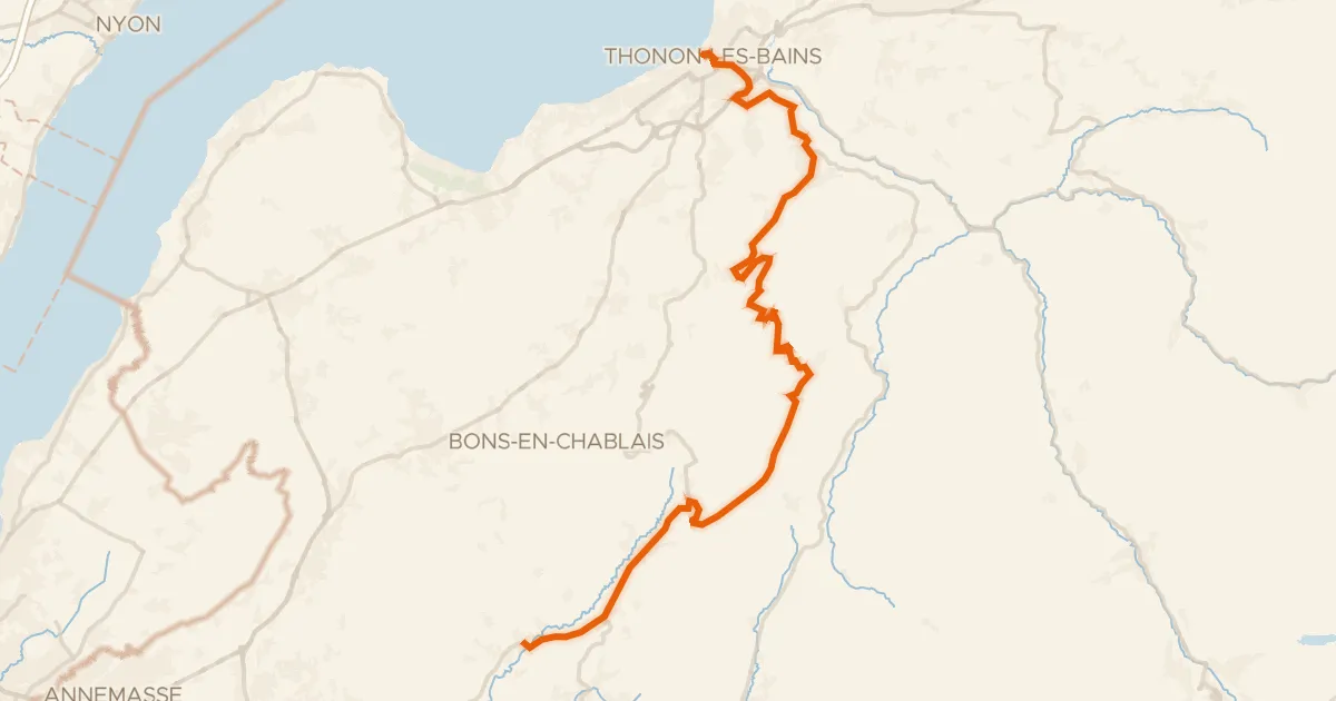
Road bike100% paved
P'tites Routes du Soleil, étape 1, Thonon-les-Bains / Boëge
37 km↑ 1,134 m20 km away
Col de Terramont · Col du Feu

Gravel58% paved
Waterside between La Morges and L'Aubonne
61 km↑ 743 m22 km away

Road bike99% paved
Climb between La Venoge and L'Orbe
77 km↑ 1,456 m23 km away

Road bike98% paved
Climbs between La Bienne and Le Tacon
75 km↑ 1,606 m24 km away