Back to the librarykm 4 · Jun 2025 · © bingo67 / Mapillary, CC BY-SA km 19–22km 22–23km 31–31km 33–35km 36–36km 37–38km 42–44km 44–46km 46–46km 48–48km 50–50km 50–52
GravelMade by RouteCasterRound trip
Climb along the Rodach
Distance
58 km
Ascent
1,120 m
Highest point
664 m
35% paved
Start from your location
Ride there from home: we find the shortest way to the loop and start the loop from there.
The ride
Roll out from Parkeerplaats Rabensteiner Höhe mit Zeyerner Wand and the route soon trades pavement for dirt, with most of the 58.2 km running unpaved. You pass through Naturpark Frankenwald, then follow the Rodach, Kronach and Haßlach rivers in turn. The climbing adds up to 1120 m before the Radspitzturm viewpoint, and then it's back to where you started.
Along the way
Climbs
Climb 1Cat. 4
2.8 km at 3% · max 12.2%
Climb 2Hill
0.7 km at 7.1% · max 19.3%
Climb 3Hill
0.8 km at 4.1% · max 9.2%
Climb 4Cat. 4
1.7 km at 6.3% · max 19.3%
Climb 5Hill
0.3 km at 10.2% · max 12.2%
Climb 6Hill
1 km at 4.3% · max 7%
Climb 7Cat. 4
1.9 km at 4.5% · max 17.7%
Climb 8Cat. 4
1.3 km at 6.6% · max 14.2%
Climb 9Hill
0.5 km at 13.3% · max 29.3%
Climb 10Hill
0.4 km at 12.7% · max 18.8%
Climb 11Hill
0.3 km at 11.7% · max 20.9%
Climb 12Cat. 3
2 km at 11.3% · max 44.5%
Routes nearby
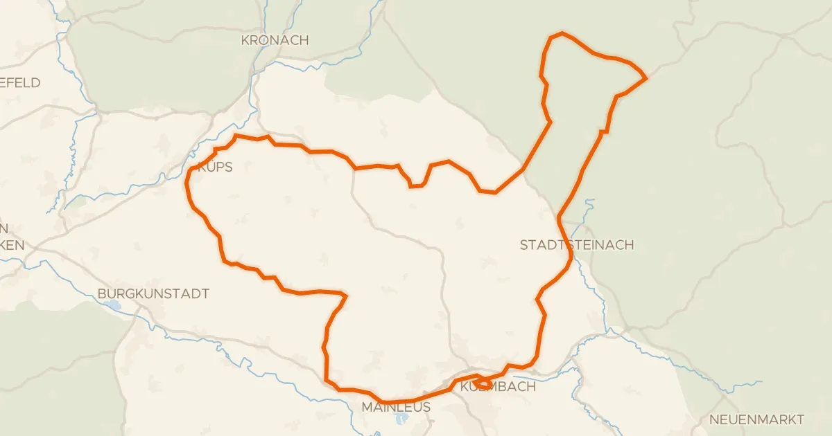
Road bike99% paved
Castles between the Weißer Main and Untere Steinach
74 km↑ 1,000 m10 km away
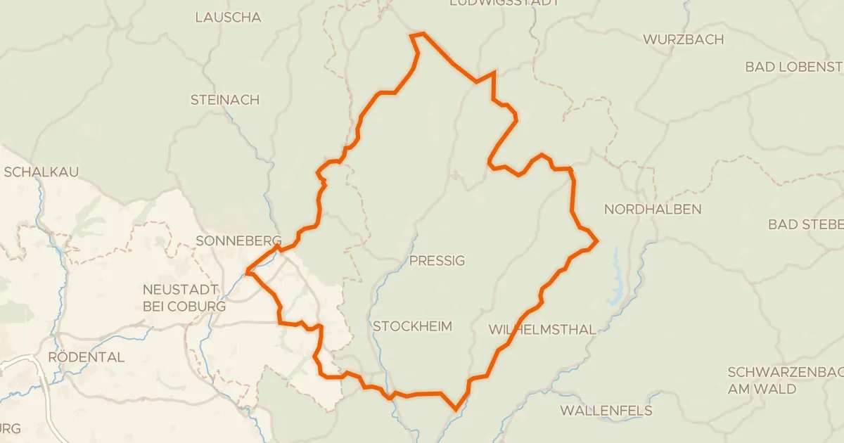
Road bike100% paved
Hills between Tschirn and Teuschnitz
82 km↑ 1,295 m13 km away
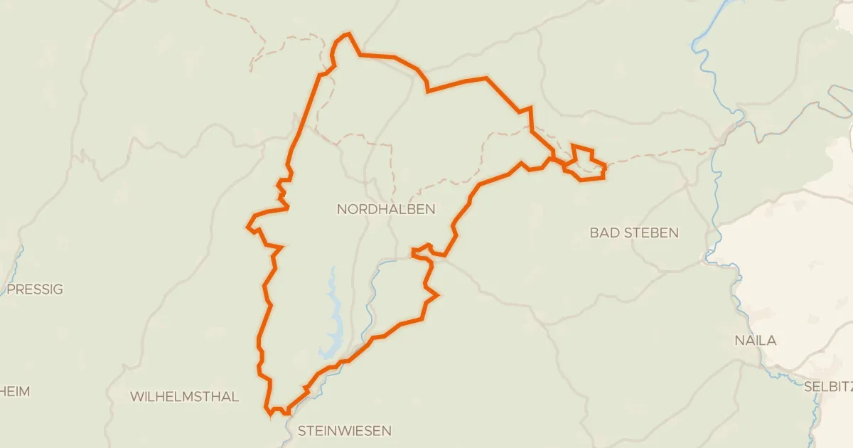
Gravel4% paved
Climbs past the Teichmühle Steinwiesen
62 km↑ 1,339 m15 km away
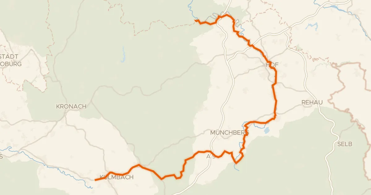
Touring83% paved
[D11] Ostsee-Oberbayern 10 [Oberfranken Nord]
103 km↑ 1,165 m19 km away
Wasserscheide Main/Saale
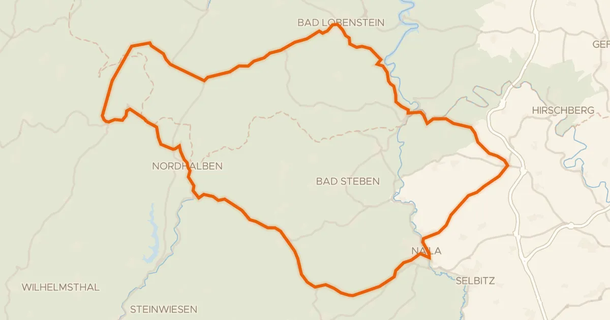
Road bike98% paved
Climbs between the Saale and the Rodach
72 km↑ 1,386 m19 km away
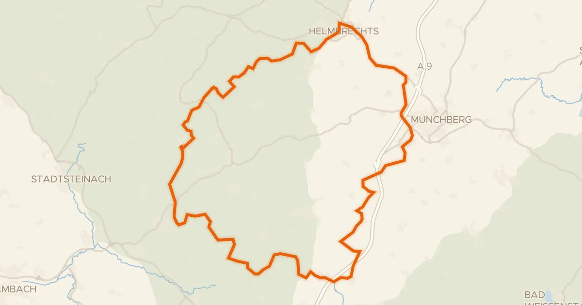
Gravel29% paved
Gravel between Selbitz and Ölschnitz
63 km↑ 1,129 m22 km away