Back to the librarykm 15–16km 18–19km 21–22km 25–28km 31–32km 33–34km 36–37km 38–39km 39–40km 41–42km 42–44km 48–49km 50–52km 52–53km 53–54km 55–56km 57–58
GravelMade by RouteCasterRound trip
Gravel between Selbitz and Ölschnitz
Distance
63 km
Ascent
1,129 m
Highest point
719 m
29% paved
Start from your location
Ride there from home: we find the shortest way to the loop and start the loop from there.
The ride
Roll out of Helmbrechts and straight into the Naturpark Frankenwald, where most of the 63.4 km runs unpaved. The route follows the Selbitz river, then the Ölschnitz, before climbing its way back through 1129 m of elevation gain. It's a loop that keeps you moving between riverbanks and forest paths, starting and finishing in the same village.
Climbs
Climb 1Hill
0.8 km at 3.7% · max 8.4%
Climb 2Hill
0.8 km at 3.2% · max 6%
Climb 3Hill
1.2 km at 3.3% · max 6.8%
Climb 4Cat. 4
3 km at 3.4% · max 8.3%
Climb 5Hill
0.8 km at 3.9% · max 9.6%
Climb 6Cat. 4
1.7 km at 5.5% · max 11.5%
Climb 7Hill
1 km at 4.4% · max 12.4%
Climb 8Hill
1.4 km at 5.1% · max 12.5%
Climb 9Hill
0.9 km at 5.2% · max 9.8%
Climb 10Hill
0.9 km at 3.8% · max 7.4%
Climb 11Cat. 4
1.5 km at 5.4% · max 11.4%
Climb 12Hill
0.9 km at 6.7% · max 20.1%
Climb 13Cat. 4
1.8 km at 6.3% · max 18.5%
Climb 14Hill
0.7 km at 7% · max 12.1%
Climb 15Hill
0.8 km at 3.7% · max 8.2%
Climb 16Hill
1.1 km at 4% · max 14.2%
Climb 17Hill
0.9 km at 6.1% · max 18.5%
Routes nearby
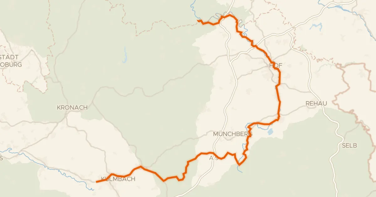
Touring83% paved
[D11] Ostsee-Oberbayern 10 [Oberfranken Nord]
103 km↑ 1,165 m4 km away
Wasserscheide Main/Saale
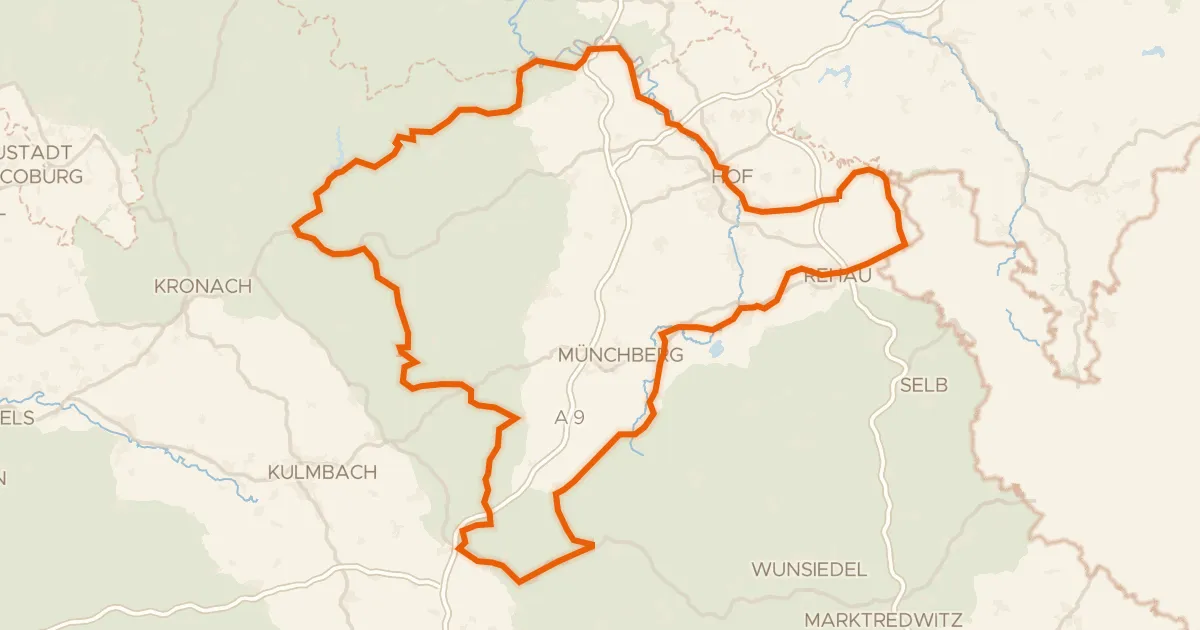
Touring85% paved
Durch Bayerns steinreiche Ecke
211 km↑ 3,509 m5 km away
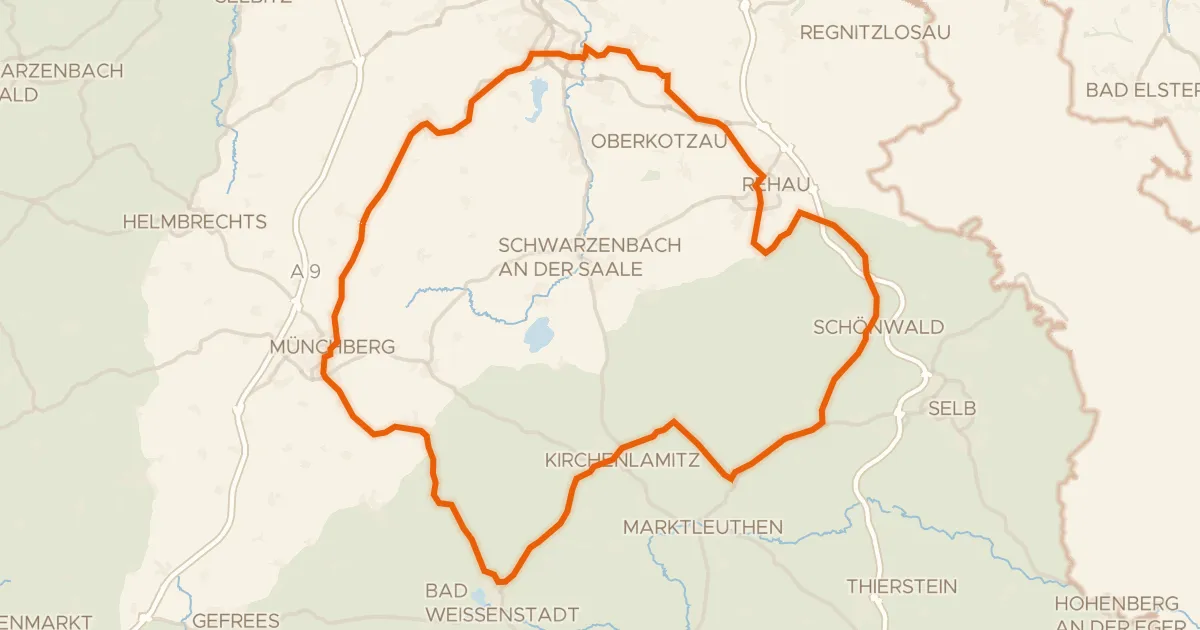
Road bike100% paved
Hills between Reuthlas and Sparneck
79 km↑ 998 m17 km away
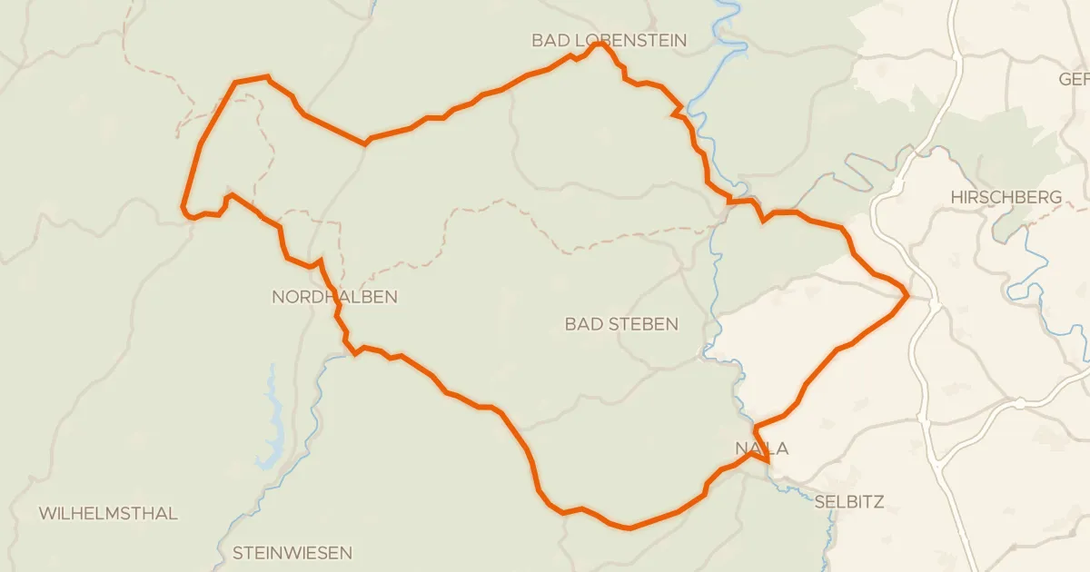
Road bike98% paved
Climbs between the Saale and the Rodach
72 km↑ 1,386 m17 km away
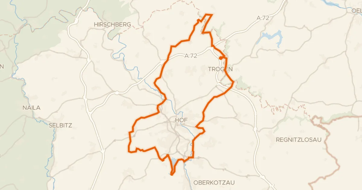
Gravel36% paved
Hills along the Saale
58 km↑ 689 m19 km away
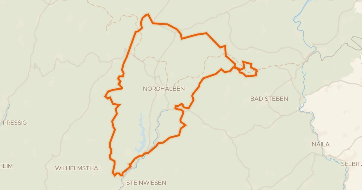
Gravel4% paved
Climbs past the Teichmühle Steinwiesen
62 km↑ 1,339 m20 km away