Back to the librarykm 6 · Feb 2022 · © binnette / Mapillary, CC BY-SA km 36 · Apr 2022 · © fredm74 / Mapillary, CC BY-SA km 0–8km 9–10km 10–11km 12–18km 26–28
GravelMade by RouteCasterRound trip
Climb along the L'Isère to Tour de Montfallet
Distance
44 km
Ascent
2,206 m
Highest point
1,904 m
20% paved
Start from your location
Ride there from home: we find the shortest way to the loop and start the loop from there.
The ride
This ride rolls out of Brignoud and climbs to the viewpoint at Tour de Montfallet before dropping to the river L'Isère. With 44.2 km ahead, most of it unpaved, the route keeps you working, and the 2206 m of elevation gain adds up along the way. Follow the river, then turn for home and finish back in Brignoud.
Along the way
Climbs
Climb 1HC
7.8 km at 11.4% · max 44.3%
Climb 2Cat. 4
0.8 km at 13.3% · max 25.3%
Climb 3Cat. 4
0.6 km at 16.7% · max 26%
Climb 4HC
5.9 km at 13.8% · max 30.9%
Climb 5Cat. 3
1.7 km at 13.4% · max 36.9%
Routes nearby

Road bike100% paved
Waterside through the Chartreuse
71 km↑ 2,609 m7 km away
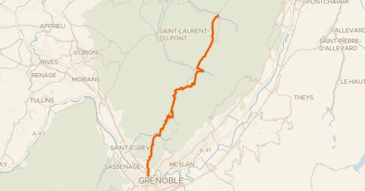
Road bike100% paved
P'tites Routes du Soleil, étape 8, Saint-Pierre-d'Entremont / Grenoble
41 km↑ 1,327 m11 km away
Col de Clémencières · Col de Palaquit

Road bike99% paved
Rondje Fort Barraux en Le Bréda
82 km↑ 2,637 m14 km away
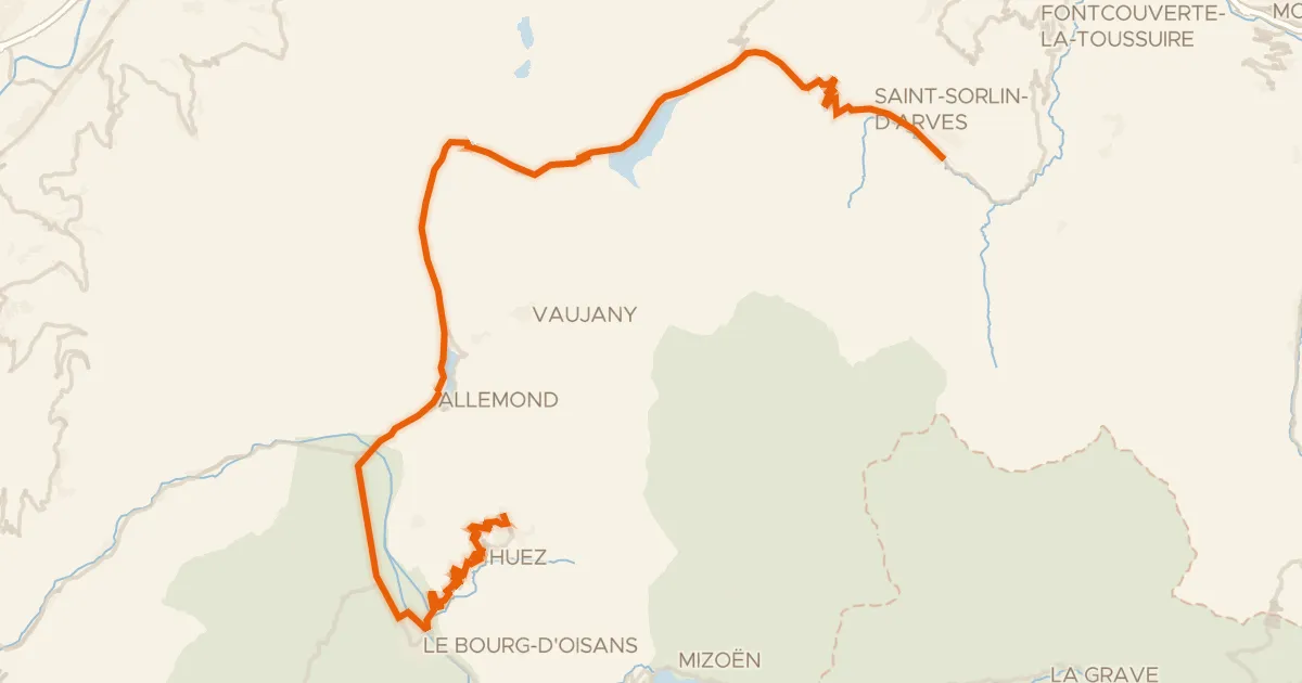
Road bike100% paved
Route des Grandes Alpes à vélo, variante Saint-Jean-d'Arves / L'Alpe d'Huez
63 km↑ 2,383 m22 km away
Col de la Croix-de-Fer · Col du Glandon
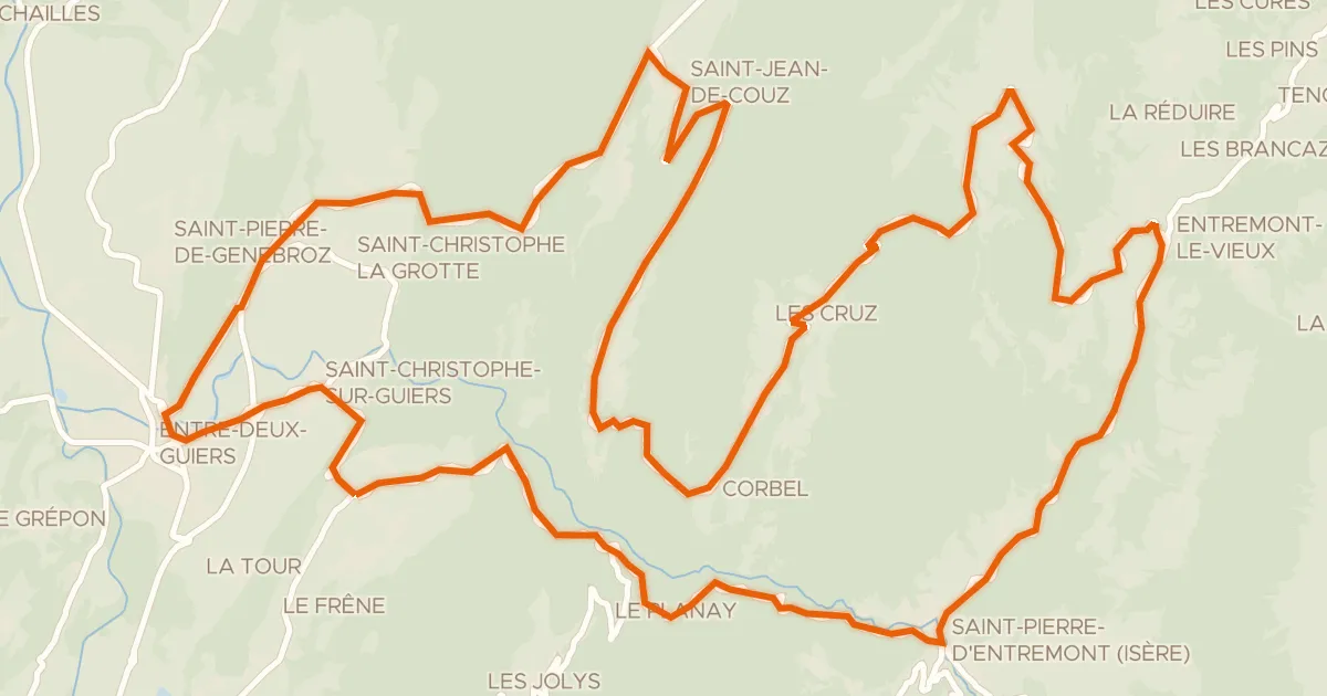
Road bike100% paved
Circuit des Entremonts
44 km↑ 1,680 m22 km away
Col des Égaux · Col de Couz
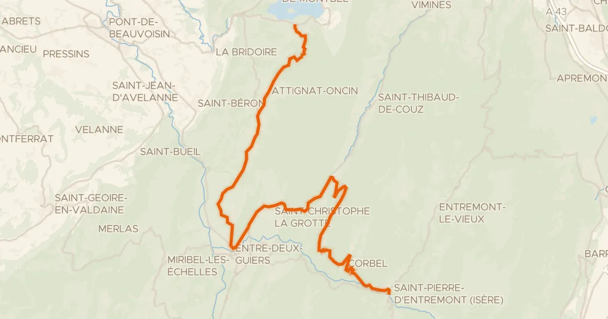
Road bike100% paved
P'tites Routes du Soleil, étape 7, Lépin-le-Lac / Saint-Pierre-d'Entremont
36 km↑ 1,164 m26 km away
Col des Égaux · Col de Couz