Back to the librarykm 20 · Jun 2024 · © giubar / Mapillary, CC BY-SA km 39 · Apr 2020 · © pisul / Mapillary, CC BY-SA km 61 · Oct 2019 · © voschix / Mapillary, CC BY-SA km 79 · Oct 2019 · © klimakas / Mapillary, CC BY-SA
Road bikeMade by RouteCasterRound trip
Castles between Zevio and Belfiore
Distance
88 km
Ascent
190 m
Highest point
71 m
100% paved
Start from your location
Ride there from home: we find the shortest way to the loop and start the loop from there.
The ride
Roll out of Buttapietra and let the road carry you past the Castello Scaligero, then on to the Forte Santa Caterina. The Adige river soon joins the story, and after the Municipio di Zevio you follow the Menago back toward home. With 88.2 km ahead and barely a hill to speak of, the day is all about the places you pass.
Along the way
Routes nearby

Gravel52% paved
Hills along the Adige to Vago
54 km↑ 464 m12 km away

Gravel60% paved
Flat ride along the Adige
61 km↑ 111 m14 km away

Road bike98% paved
Rondje Castello di Monzambano en Parco del Mincio
84 km↑ 566 m16 km away

Road bike100% paved
Flat loop between Gazzo Veronese and Nogara
77 km↑ 123 m19 km away

Gravel58% paved
Gravel loop along the Tione delle Valli
55 km↑ 54 m20 km away
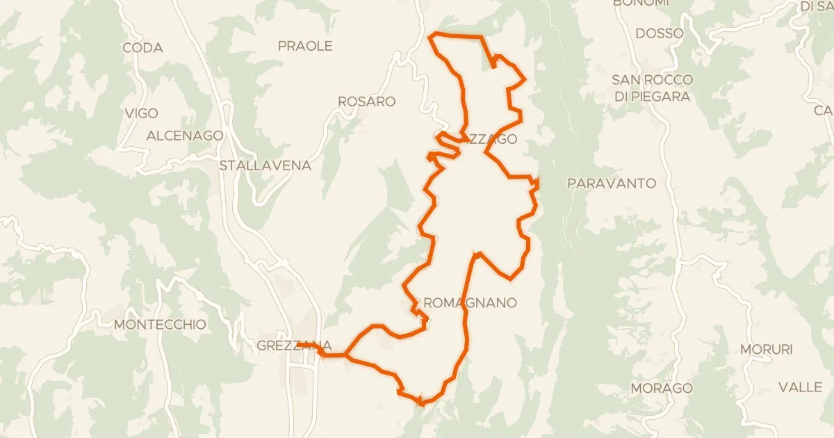
Touring87% paved
Giro in bici dei monti Castello e Santa Viola
23 km↑ 792 m22 km away