Back to the librarykm 14 · May 2023 · © canislupus / Mapillary, CC BY-SA km 31 · Aug 2026 · © AR88 / Mapillary, CC BY-SA km 40 · Aug 2026 · © AR88 / Mapillary, CC BY-SA km 63 · Jul 2026 · © natura / Mapillary, CC BY-SA km 0–1km 18–19km 20–21km 47–48
Road bikeMade by RouteCasterRound trip
Castles between the Saale and the Ilm
Distance
77 km
Ascent
768 m
Highest point
346 m
101% paved
Start from your location
Ride there from home: we find the shortest way to the loop and start the loop from there.
The ride
Roll out from Parkeerplaats Saale-Ilm-Platten bei Bad Kösen and the nature reserve gets things going. Then it's castle after castle: Wasserburg Schkölen, Burg Camburg and Burg Saaleck, with the Saale and the Ilm rivers along the way. All 77.0 km is paved, so the wheels keep turning. Back where you started, castles behind you.
Along the way
Climbs
Climb 1Hill
1.1 km at 6.1% · max 9.8%
Climb 2Hill
1 km at 5.1% · max 9.5%
Climb 3Hill
0.8 km at 4.4% · max 6.5%
Climb 4Hill
0.9 km at 3.9% · max 6.3%
Routes nearby
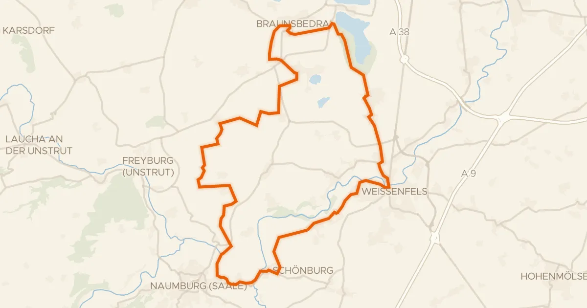
Gravel54% paved
Views between Schönburg and the Saale
57 km↑ 492 m15 km away
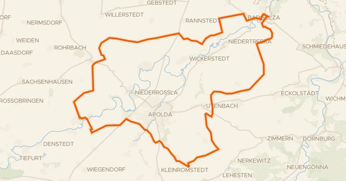
Gravel22% paved
Hills along the Ilm
57 km↑ 575 m17 km away
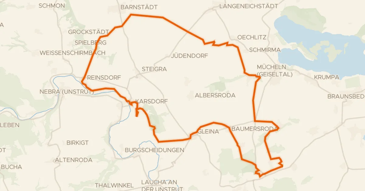
Gravel40% paved
Gravel along the Unstrut via Gleina
59 km↑ 394 m18 km away
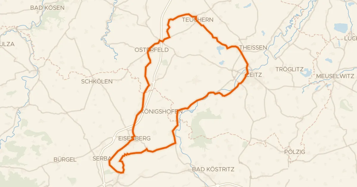
Road bike99% paved
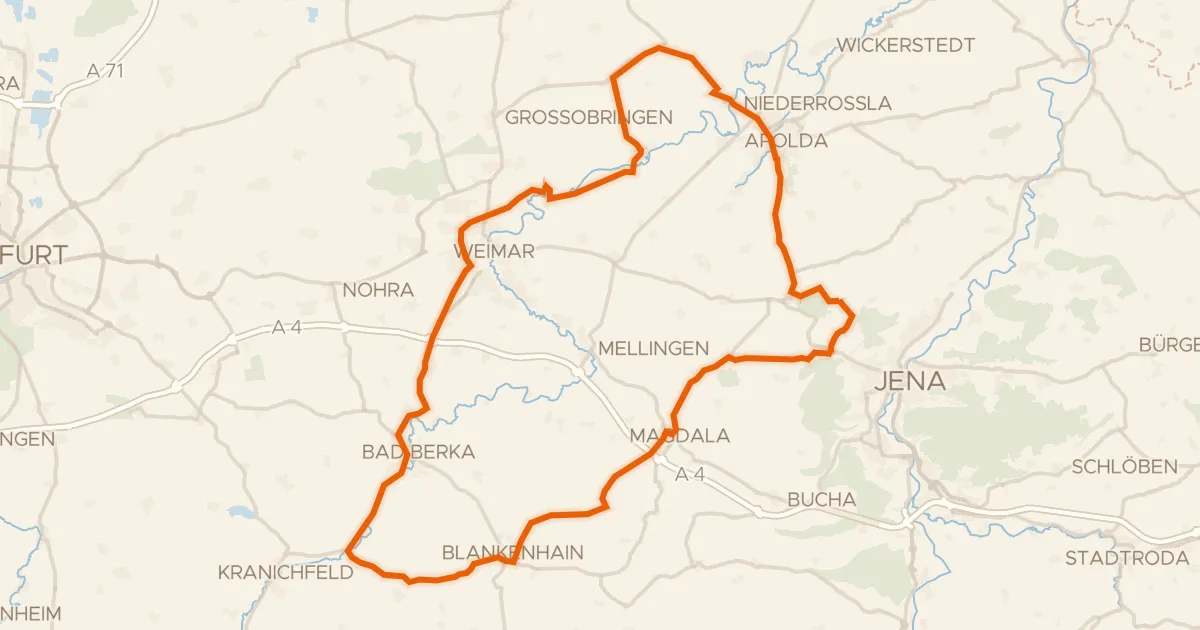
Castles between Kistritz and Crossen an der Elster
76 km↑ 669 m21 km away
Road bike99% paved
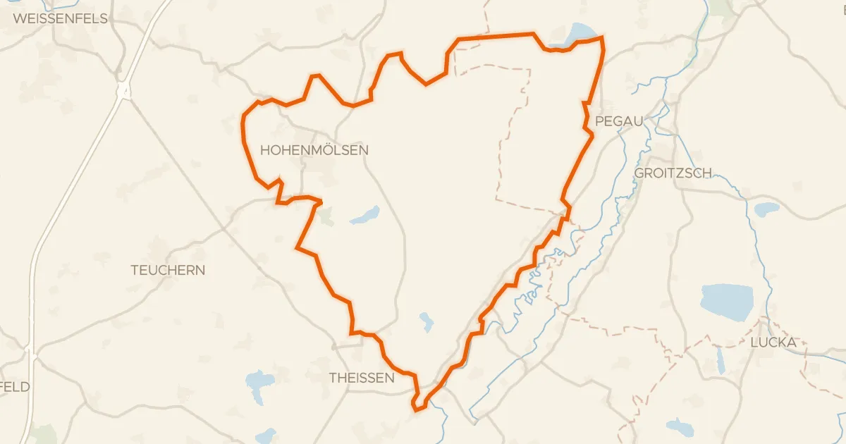
Castles between Isserstedter Holz and Windknollen
84 km↑ 1,034 m30 km away
Gravel38% paved
Mills along the Weiße Elster
58 km↑ 342 m30 km away