Back to the librarykm 12 · Jun 2022 · © rnissl / Mapillary, CC BY-SA km 41 · May 2024 · © foxconn11 / Mapillary, CC BY-SA km 48 · Aug 2024 · © rnissl / Mapillary, CC BY-SA km 73 · Jul 2026 · © rnissl / Mapillary, CC BY-SA km 0–2km 2–4km 8–11km 12–15km 18–19km 26–28km 32–33km 33–34km 54–57km 60–63km 78–79km 79–81km 82–83
Road bikeMade by RouteCasterRound trip
Castles between Tännesberg and Wernberg
Distance
86 km
Ascent
1,448 m
Highest point
709 m
100% paved
Start from your location
Ride there from home: we find the shortest way to the loop and start the loop from there.
The ride
Roll out of Tännesberg and straight into the Naturpark Oberpfälzer Wald, then on through the Nördlicher Oberpfälzer Wald. Three castles follow in turn: Dieterskirchen, Wernberg and Leuchtenberg, before the Lerautal reserve near Leuchtenberg. Past Schloss Burgtreswitz you meet the Pfreimd river, then it's back to Tännesberg after 85.6 km, all of it paved.
Along the way
Climbs
Climb 1Hill
1.5 km at 3.7% · max 10.2%
Climb 2Hill
1.6 km at 4.4% · max 12.6%
Climb 3Cat. 4
2.7 km at 3.3% · max 10.3%
Climb 4Cat. 4
2.3 km at 6% · max 11.3%
Climb 5Hill
1.5 km at 5.3% · max 12.8%
Climb 6Cat. 4
2 km at 4.2% · max 9.5%
Climb 7Hill
0.5 km at 6% · max 7.8%
Climb 8Hill
0.7 km at 4.3% · max 8.4%
Climb 9Cat. 4
3.5 km at 3.2% · max 9.7%
Climb 10Cat. 3
3 km at 5.4% · max 14.3%
Climb 11Hill
0.8 km at 3.5% · max 7%
Climb 12Hill
1.9 km at 3.7% · max 11.9%
Climb 13Cat. 4
1.8 km at 5% · max 9.3%
Routes nearby
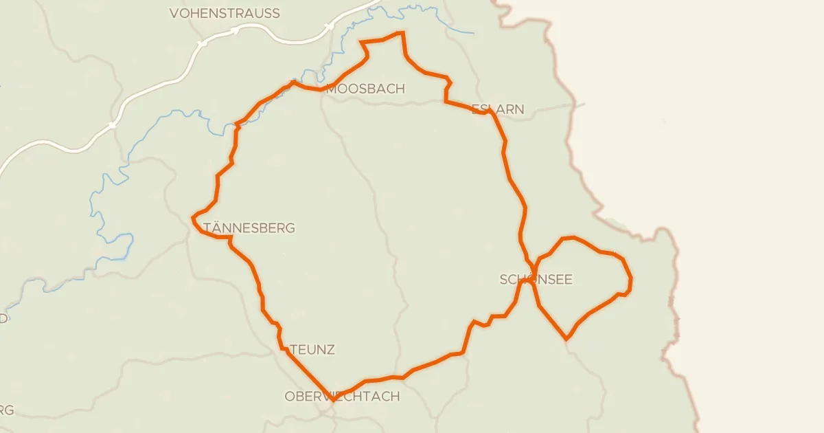
Road bike98% paved
Hills between Schönsee and Eslarn
74 km↑ 1,120 m10 km away
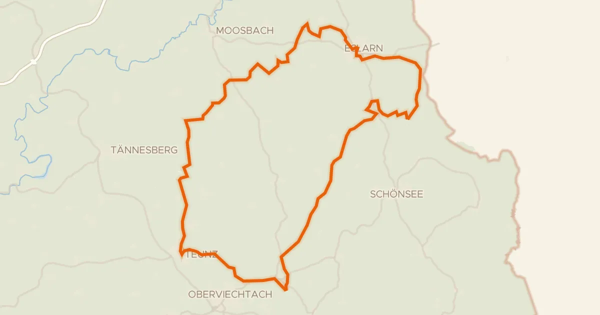
Gravel21% paved
Rondje Eslarn en Naturpark Oberpfälzer Wald
62 km↑ 1,001 m11 km away
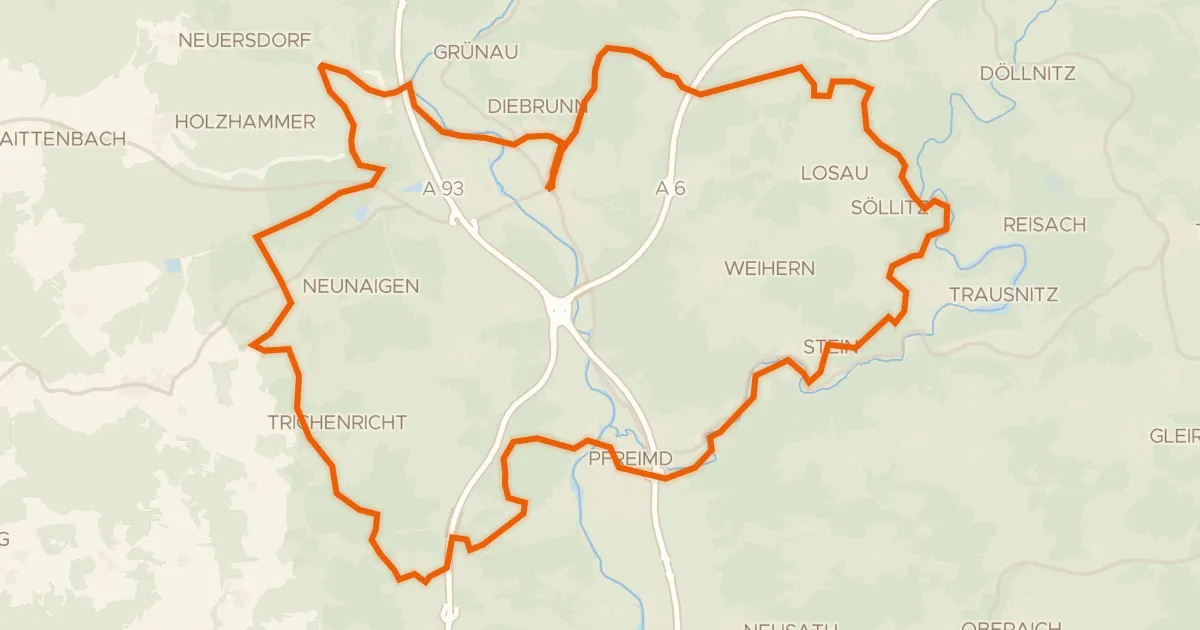
Gravel27% paved
Climbs between Wernberg and Iffelsdorf
58 km↑ 1,055 m11 km away
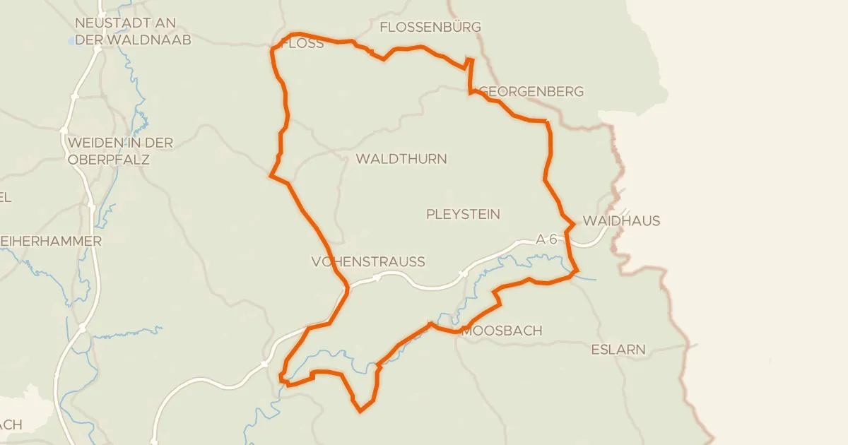
Road bike100% paved
Castles along the Pfreimd
73 km↑ 976 m13 km away
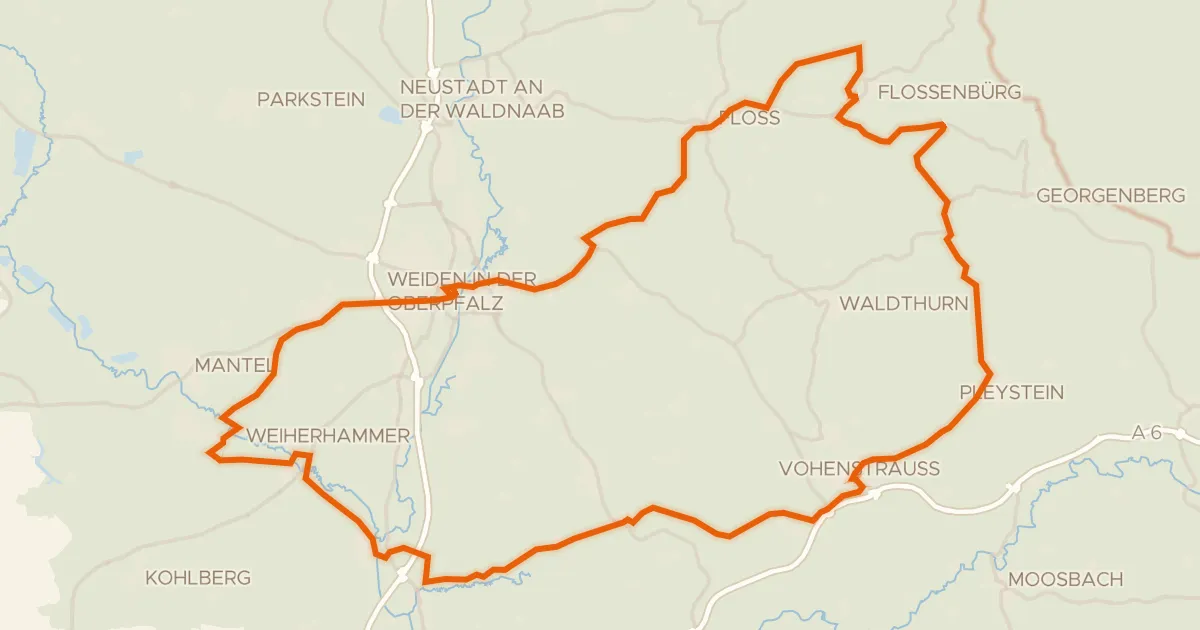
Road bike98% paved
Castles along the Floß
84 km↑ 1,078 m17 km away
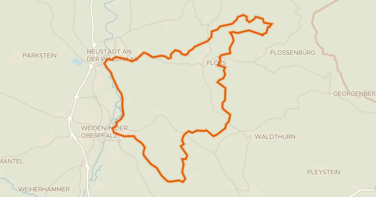
Gravel34% paved
Climbs along the Waldnaab
62 km↑ 1,128 m19 km away