Back to the librarykm 4–8
Road bikeMade by RouteCasterRound trip
Castles between L'Ain and L'Albarine
Distance
82 km
Ascent
1,088 m
Highest point
616 m
100% paved
Start from your location
Ride there from home: we find the shortest way to the loop and start the loop from there.
The ride
From Saint-Rambert-en-Bugey you roll out along the L'Albarine, then climb past the Château de Montferrand. The route keeps linking castles: Chazey-sur-Ain, Saint-Maurice-de-Rémens and finally Varey, before the Ain river guides you home. It's 81.9 km, all paved, with 1088 m of climbing to keep the legs honest.
Climbs
Climb 1Cat. 3
4.4 km at 7.1% · max 45%
Routes nearby
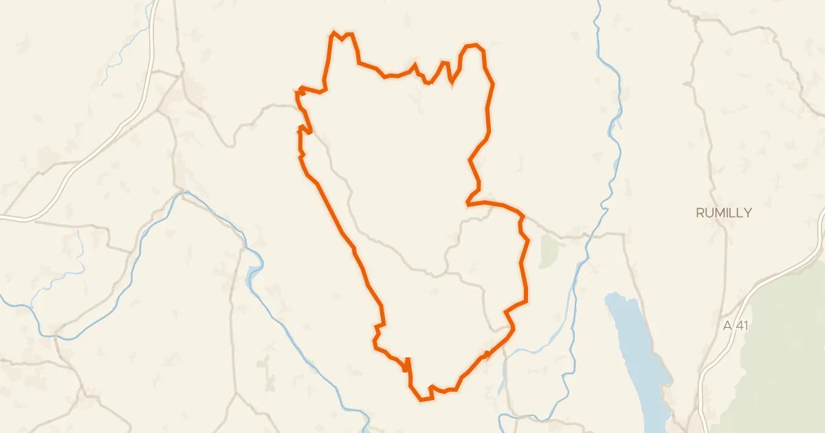
Road bike100% paved
L'Ain à vélo - Le Bugey, paradis des chasseurs de cols
134 km↑ 2,496 m16 km away
Passage de la Pierre Taillée · Col de la Rochette

Road bike100% paved
Rondje Château de Quinsonnas en Le Rhône
78 km↑ 1,225 m23 km away

Gravel35% paved
Rondje Château Chiloup en Lac Neyton
57 km↑ 378 m24 km away
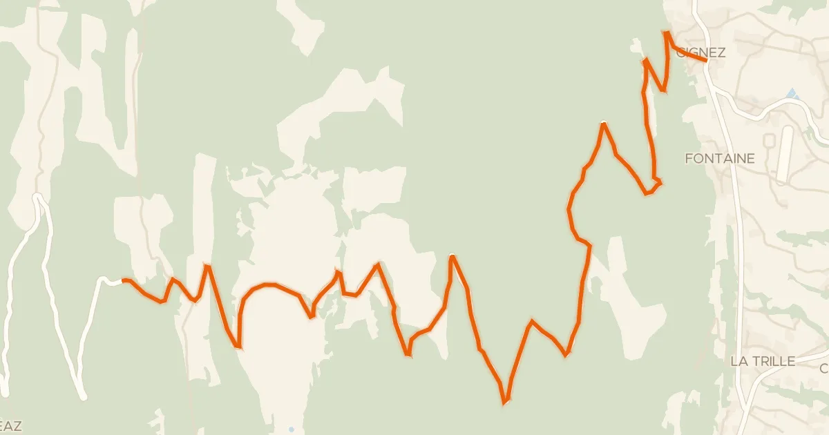
Road bike100% paved
Col de la Biche depuis Gignez
13 km↑ 1,031 m26 km away
Golet des Faies · Croix de Famban
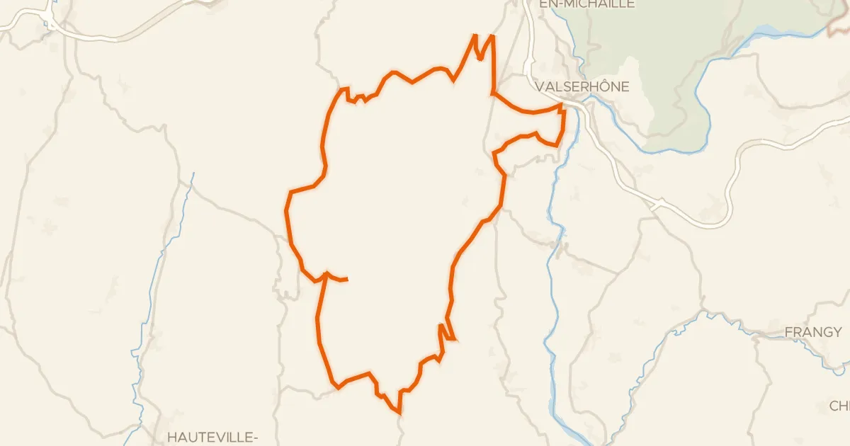
Road bike100% paved
L'Ain à vélo - Le Plateau de Retord, la Nature par excellence
60 km↑ 1,423 m26 km away
Col de Cuvéry · Col de Richemond

Gravel22% paved
Rondje La Sarsouille en L'Oignin
54 km↑ 1,651 m31 km away