Back to the librarykm 0–3km 17–21km 25–27km 63–63km 88–89
Road bikeMade by RouteCasterRound trip
Castles between Dollnstein and Raitenbuch
Distance
98 km
Ascent
1,155 m
Highest point
590 m
98% paved
Start from your location
Ride there from home: we find the shortest way to the loop and start the loop from there.
The ride
Roll out of Dollnstein and straight into the Trockenhänge nature reserve, then follow the Altmühl river onward. Castles stack up along the way: Burg Pappenheim, the Altes Schloss and the Neues Schloß, before the Weißenburger Stadtwald forest takes over. Later come the Quellhorizonte und Magerrasen am Albtrauf bei Niederhofen nature reserve and Schloss Raitenbuch, and then it's back to Dollnstein. Just 98.2 km, almost all of it paved.
Climbs
Climb 1Cat. 4
3.1 km at 4.6% · max 10.4%
Climb 2Cat. 4
3.9 km at 3.9% · max 12.1%
Climb 3Cat. 4
2.2 km at 5% · max 20.2%
Climb 4Hill
0.6 km at 4.6% · max 7.6%
Climb 5Hill
0.9 km at 3.2% · max 11.6%
Routes nearby
Touring77% paved
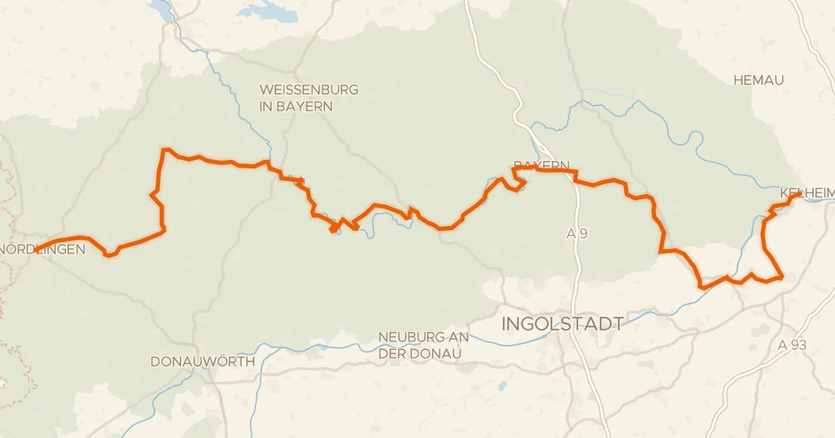
GeoRadweg Altmühltal Route 1
198 km↑ 1,885 m8 km away
Road bike98% paved
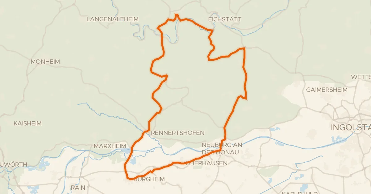
Castles between Wellheim and Nassenfels
78 km↑ 833 m9 km away
Road bike97% paved
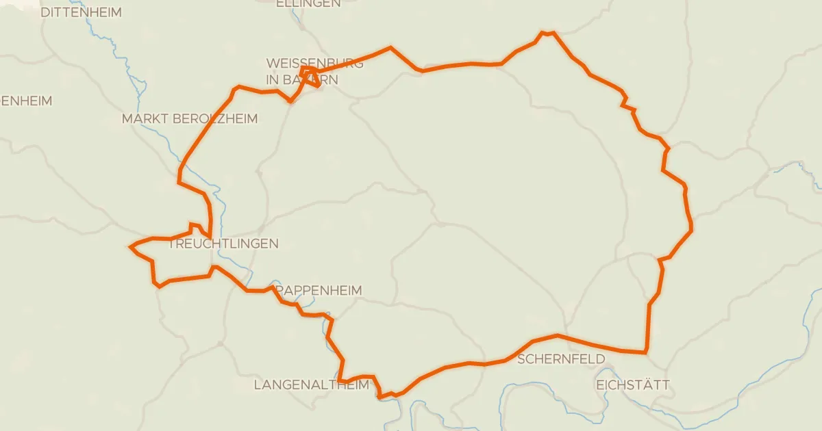
Castles through the Weißenburger Stadtwald
93 km↑ 950 m11 km away
Gravel10% paved
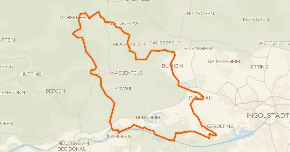
Gravel ride from Gerolfing to Adelschlag
59 km↑ 357 m17 km away
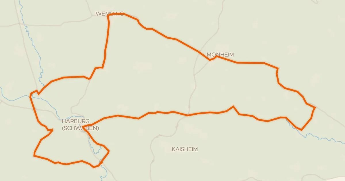
Road bike100% paved
Hills between Wemding and Monheim
78 km↑ 755 m21 km away
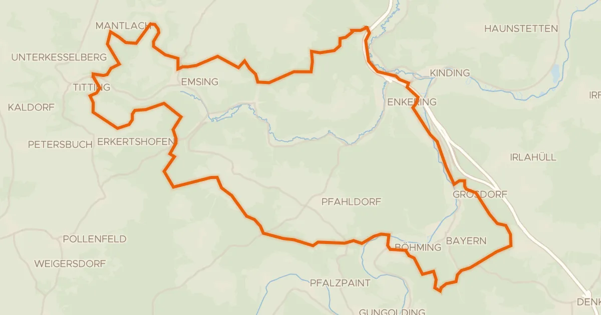
Gravel10% paved
Waterside ride between Ilbling and Böhming
58 km↑ 1,074 m21 km away