Back to the librarykm 6 · Apr 2025 · © djpixel / Mapillary, CC BY-SA km 40 · Apr 2025 · © djpixel / Mapillary, CC BY-SA km 60 · Apr 2022 · © krasseviews / Mapillary, CC BY-SA km 83 · Dec 2025 · © djpixel / Mapillary, CC BY-SA km 62–62km 66–68km 71–75km 75–76km 77–77km 78–79km 80–81km 83–84km 85–86km 88–88
Road bikeMade by RouteCasterRound trip
Castles along the Sulm
Distance
92 km
Ascent
1,366 m
Highest point
549 m
100% paved
Start from your location
Ride there from home: we find the shortest way to the loop and start the loop from there.
The ride
Roll out of Sankt Johann im Saggautal and follow the Sulm and Schwarze Sulm rivers before Schloss Welsberg comes into view. Onward past the Laßnitz and Stainzbach, the route links Schloss Seggau, Schloss Polheim and Schloss Gamlitz, castle after castle. The 92.4 km loop is fully paved with 1366 m of climbing, then brings you back to where you started.
Along the way
Climbs
Climb 1Hill
0.4 km at 12.3% · max 15.7%
Climb 2Cat. 4
1.9 km at 4.3% · max 15.4%
Climb 3Cat. 3
3.9 km at 5.1% · max 19.5%
Climb 4Hill
1.1 km at 5.3% · max 11.1%
Climb 5Hill
0.7 km at 4.4% · max 9.9%
Climb 6Hill
1.1 km at 4% · max 10.8%
Climb 7Hill
1 km at 3.4% · max 13.2%
Climb 8Hill
0.9 km at 4.3% · max 12.8%
Climb 9Cat. 4
1.9 km at 4.7% · max 12.5%
Climb 10Hill
0.8 km at 5.5% · max 12.9%
Routes nearby

Gravel65% paved
Waterside along the Schwarze Sulm
56 km↑ 1,405 m5 km away

Road bike99% paved
Waterside between the Sulm and the Laßnitz
67 km↑ 771 m11 km away
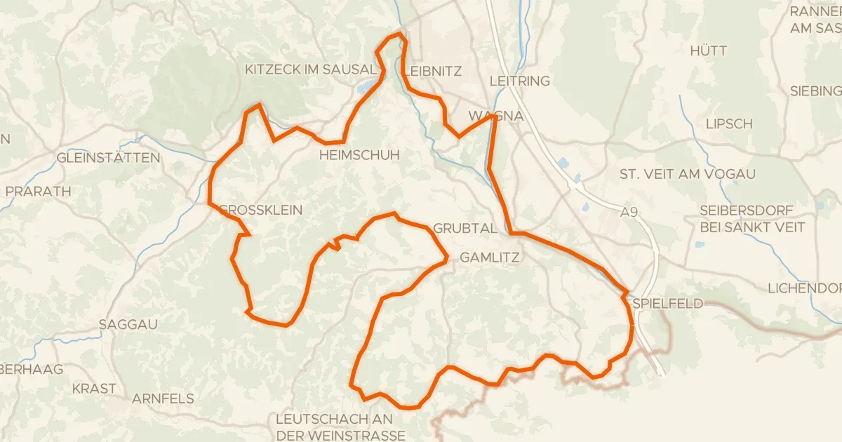
Touring89% paved
Weinstraßen Tour
73 km↑ 1,298 m11 km away
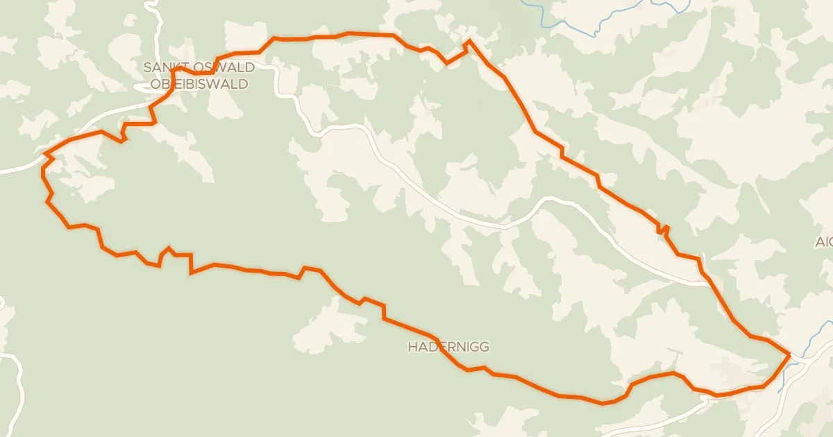
Touring87% paved
Haderniggtour
22 km↑ 711 m17 km away

Road bike99% paved
Hills between Stiefing and Mur
95 km↑ 1,500 m28 km away
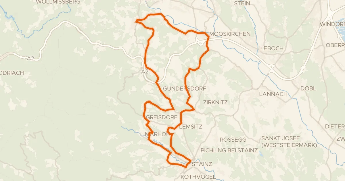
Road bike97% paved
Schilcher Tour Nord
44 km↑ 869 m29 km away